Borrego Springs, California

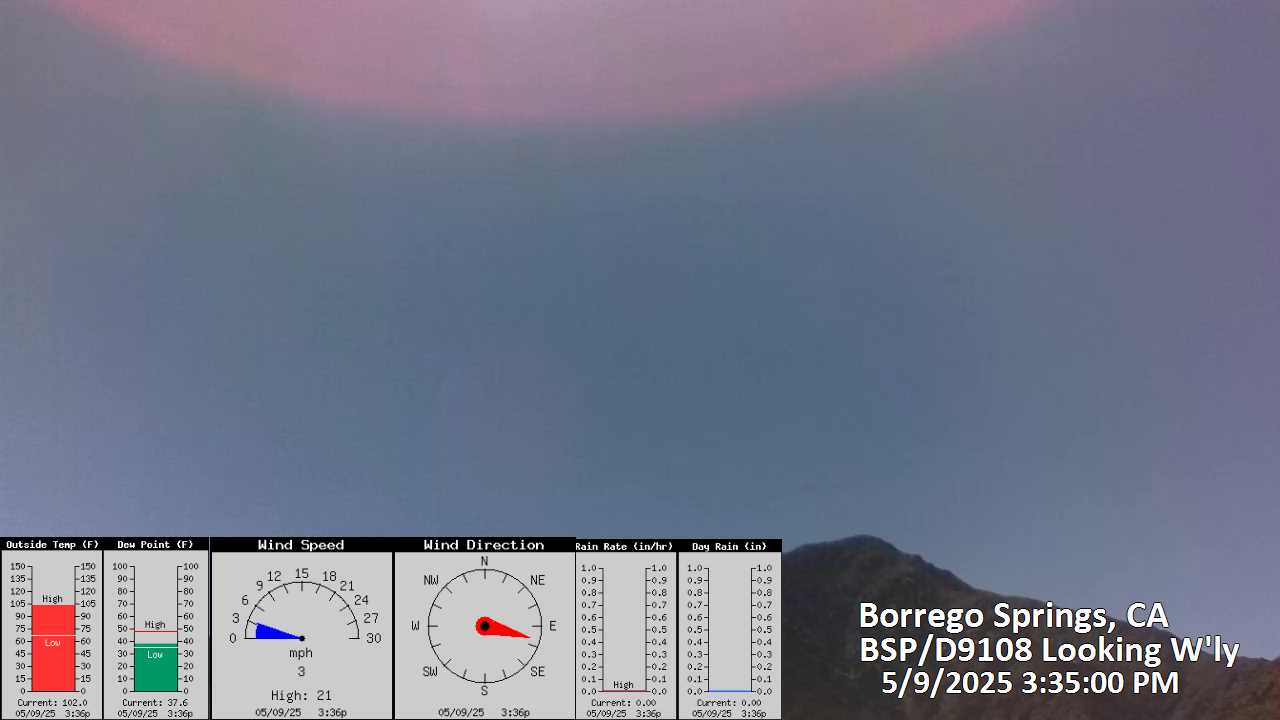
This camera is located at Borrego Springs, 12 miles east of the PCT and 57 miles northeast of San Diego, California. The view is at an elevation of about 850 feet looking Northwest towards Palm Mesa.
Map location for camera: Lat. 33.25630N Long. 116.37543W

Camera courtesy of Bobland USA

National Weather Service 7 Day History for Fish Creek Mountains, CA. 25 miles southeast of Borrego Springs.
Elev: 781 ft; Latitude: 32.9903; Longitude: -116.0669


Latest Borrego Springs, California
weather conditions and forecast
Current Conditions at Borrego Springs
Borrego Springs, California, weather forecast

(Click the reload button for the most recent image.)