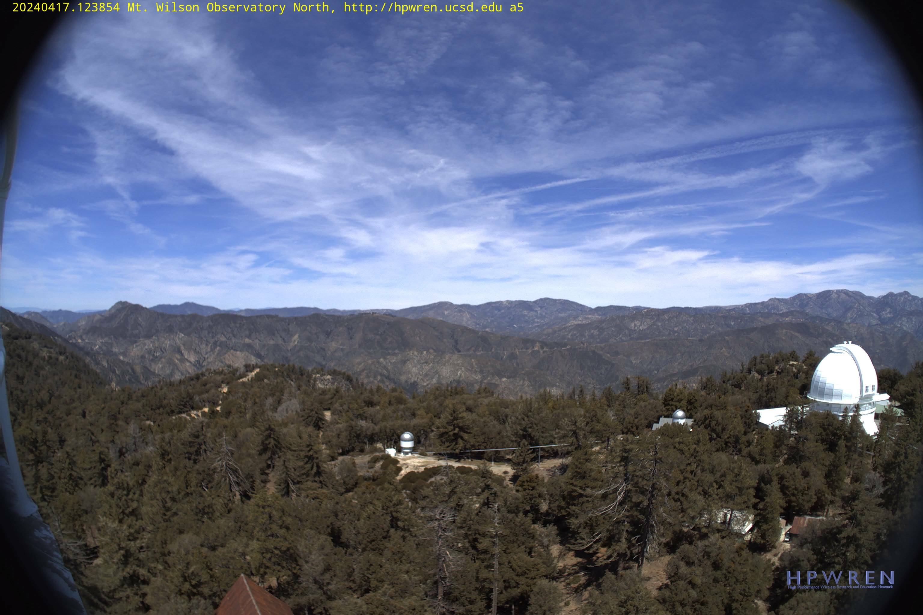
This camera is located near the Pacific Crest Trail at Mt. Wilson, California. The view is to the east at an elevation of about 5,700 feet.
Map location for camera:
Lat. 34.217N Long. 118.059W
Camera courtesy of
Department of Physics & Astronomy
National Weather Service
7 Day History for Mt. Wilson, CA.
Elev: 5705 ft; Latitude: 34.22; Longitude: -117.93
(Click the reload button for the most recent image.)