by Steve Jones | Jul 4, 2016 | Dayhikes, Hiking |
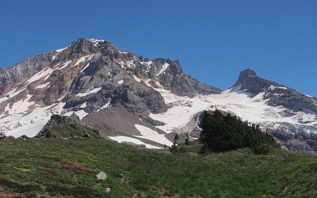
PDF or PrintNotice: 6/25/19 – A severe thunderstorm in August 2014 swelled streams on Mt. Hood and washed out the bridge over the Sandy River. One person on the bridge was swept away and died according to local news sources. This trail is not suitable for...
by Steve Jones | Jul 4, 2016 | Dayhikes, Hikes with Kids, Hiking |
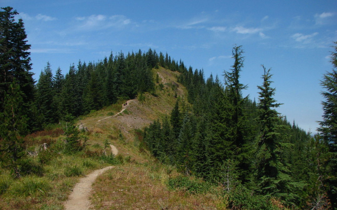
PDF or PrintVicinity Location: 44 miles east of Portland in the Mt. Hood National Forest. Directions: From Portland take I-84 East to the Wood Village, exit (16A). Head south and turn left onto NE Burnside Rd. Heading East, Burnside will merge into Highway 26. Follow...
by Steve Jones | Jul 3, 2016 | Backpacking Trips |
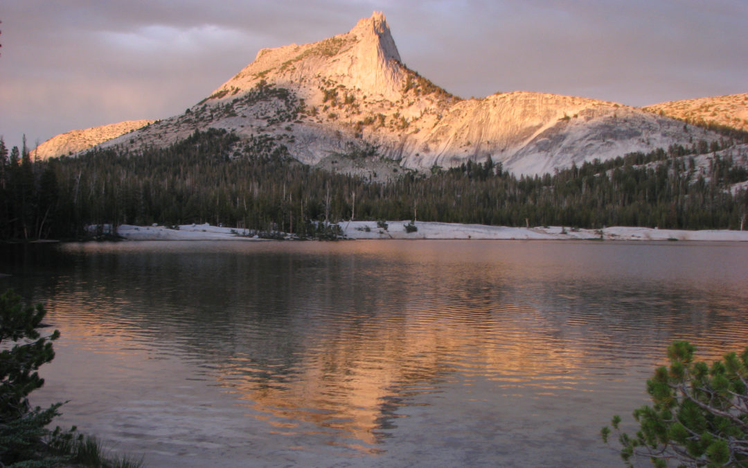
PDF or PrintNotice: 5/23/2016 – Check for trail closures. See http://www.pcta.org/planning/during_trip/trail-closures.php for PCT updates. See https://www.nps.gov/yose/planyourvisit/conditions.htm for Yosemite NPS updates. Maps of our route...
by Steve Jones | Jul 3, 2016 | Dayhikes, Hiking |
PDF or PrintVicinity Location:The trailhead is 33 miles northeast of Portland, OR in the Columbia River Gorge. Directions: Download Garmin .gpx file for gps route from Beacon Rock State Park and Highway 14. Text directions are sketchy. From Portland take I-205 North;...
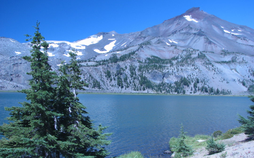
by Steve Jones | Jul 3, 2016 | Backpacking Trips |
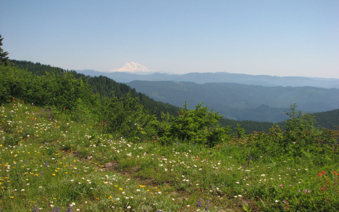
PDF or PrintVicinity Location: The Pole Creek Trailhead is about 83 miles Southeast of Salem OR, and about 102 miles Southeast of Portland, OR, in the Deschutes National Forest. Directions: Pole Creek Trailhead: From Sisters, Oregon, drive to the Southwest side of...
Recent Comments