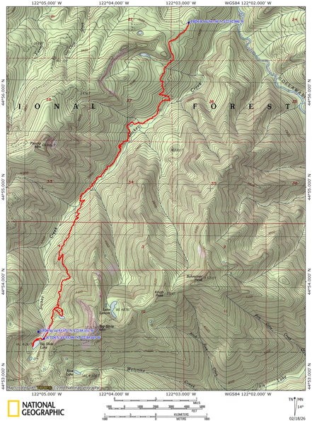
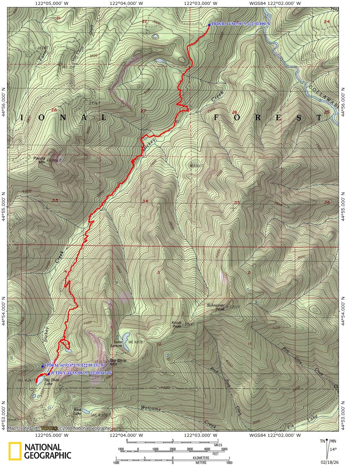
Big Slide Lake, OR
Vicinity Location: About 54 miles southeast of Portland, OR in the Bull of the Woods Wilderness
You need a Northwest Forest Pass for parking.
Fill out a free wilderness permit at the trailhead.
There are no bathrooms at the trailhead.
Length and Elevation:
Total length is 14.2 miles roundtrip. Trailhead elevation is 2,891 feet. The elevation at the lake is 4,265 feet. Total ascent is 3,775 feet, total descent is 3,775 feet. Highest elevation is 4,331 feet and the lowest elevation 2,500 feet.
Trail:
Dickey Creek Trail #553
Trail Maps:
Topo Map, Download Garmin .gpx file, Open Garmin .gpx file
Review: September 27, 2025
The best time to hike this is from July to October and snow often lingers through June.
The trail begins on an old forest road that is mostly level for about 0.8 mile. At the end of the road there is a fairly steep 500-foot descent down into the Dickey Creek canyon. This means your hike ends with a steep climb, so save some energy for the return.
Wander through towering an ancient old-growth forest of Douglas firs and hemlocks, passing lush rhododendrons that bloom in early summer. This first 1.5 miles is an ancient landslide with trees growing crookedly and big rocks to navigate around.
At about 2 miles the trail passes above a small shallow lake and the shoreline looks too muddy to swim in.
Once across Dickey Creek the trail climbs up through a burn area with plenty of deadfalls though some have been cut out.
Continuing towards the lake the trail leaves the burned area and switchbacks up a hillside.
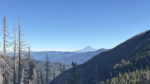
As the trail gets close to the lake the trail opens up and you can see the massive rock slides of Big Slide Mountain, which gives the area its name.
Enjoy the photos!!
Gallery Pics
Switchback Steve