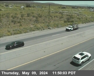
This camera is located 3.5 miles east of the Pacific Crest Trail 13.5 miles southeast of Tehachapi, California.
The camera is at an elevation of about 3,450 feet.
Map location for camera:
Lat. 35.11852N Long. -118.21234W
National Weather Service
7 Day History for Tehachapi, CA.
Elev: 4199 ft; Latitude: 35.15050; Longitude: -118.51667
(Click the reload button for the most recent image.)