


Vicinity Location: The trailhead is about 26 miles northeast of Portland, Oregon in the Yacolt Burn State Forest in Clark County.
Directions:
From Portland: The drive takes about 90 minutes from downtown Portland. Take I-205 North into Washington and drive about 4 miles and take Exit 30. The exit branches into 3 exits, take the middle exit, Exit 30B and merge onto SR-500 East. Stay in the right lane for about .3 mile. This is an exit lane and turns right onto NE 4th Plain Road.
Follow NE 4th Plain Road for 1.3 miles, getting into the left turn lane to make a left onto NE Ward Road. Follow NE Ward Road for 3.3 miles and it turns into NE 182nd Avenue. Continue north on NE 182nd Avenue for another mile and turn right onto NE 139th Street. Follow NE 139th Street up the hill for 2.3 miles and make a left to continue on NE Rawson Road. After about 5.6, Rawson Road turns into L-1400 Forest Road. Continue on this road for another 2.9 miles, for a total of 8.5 miles from NE 139TH Street.
Turn left at the sign for Larch Camp onto the L-1000 Road. The pavement ends in 1.8 miles. After driving 4.3 miles from the L-1000 Road the road turns into NE Dole Valley Rd. Drive another 0.2 miles and turn right into the Rock Creek Horse Campground.
There are bathrooms at Rock Creek Horse Camp, near the trailhead.
A Washington Discover pass is needed to park.
Length and Elevation:
Elevation at the trailhead is 1,060 feet. Appaloosa Trail 3.5 miles one-way. One-way ascent is 1,500 feet and total descent is 260 feet. Total trip is 12 miles. Total ascent is 2,680 feet and total descent is 2,680 feet. The highest point is at 2,450 feet and the lowest point is 1,060 feet.
Trails:
Tarbell Trail, Appaloosa Trail
There are no geocaches along this trail.
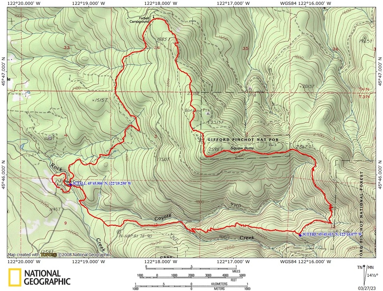
Trail Maps:
Topo Map, Download Garmin .gpx file, Open Garmin .gpx file
Review: October 4, 2021
The Appaloosa Trail is new and was built by DNR, Chinook Trail Association, and Washington Trails Association. It almost bisects the Tarbell Trail to make some new loop possibilities in the Yacolt Burn State Forest. This is part of the 17-mile non-motorized trail project is part of the Tarbell and Bells Mountain Trail system.
From the Rock Creek Campground find the horse/hiker bridge over Rock Creek. You can do this by going through the meadow near the entrance and following the Tarbell Trail to the bridge. You can also walk through the campground and find a short trail that leads to the bridge.
Cross the steel frame bridge and about 150 feet after crossing the bridge you reach the junction for the Appaloosa Trail. Turn right and head uphill into a newly planted clear-cut.
The trail soon drops down and crosses Coyote Creek on a fiberglass bridge, and re-enters the forest.
Travel through the forest for about a mile and come out onto an old forest service road. Turn left and follow the service road for almost a quarter of a mile.
Switchback away fairly steep uphill from Coyote Creek and come out to another forest road where you turn right and go steeply uphill on a gravel road for a few hundred feet. Look for a pull out on the right and you should see the sign to continue the single track portion of the Appaloosa Trail.
Climb about 1/5 of a mile and cross back over the gravel Forest Road. From the crossing you have a lovely view down into the valley of Rock Creek in the creek. It’s a nice view of the surrounding hillsides here too.
Plants along the upper portion of the Appaloosa Trail include Oregon grape, Sword fern, and Beargrass.
The upper portion of the Appaloosa Trail generally follows a ridge so there are no stream crossings once you leave the valley. This trail is popular with mountain bikers so be aware that they could come zipping down the trail.
This trail is snow free most of the year because the highest elevation is about 2,260 feet.
Enjoy the photos!!
Gallery Pics
Switchback Steve
Recent Comments