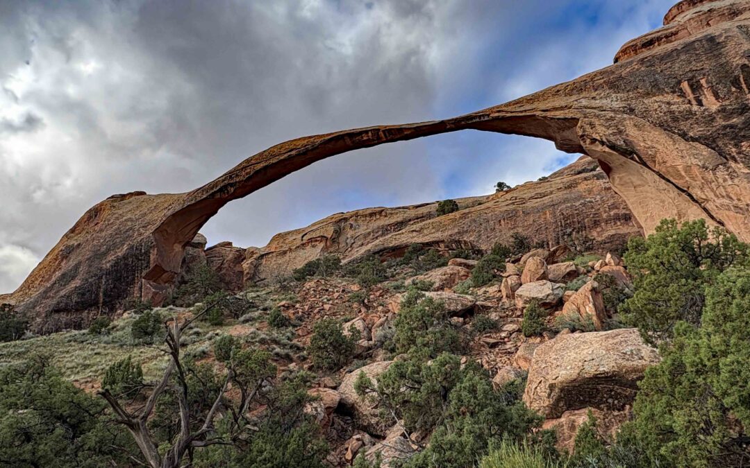
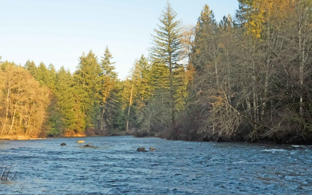
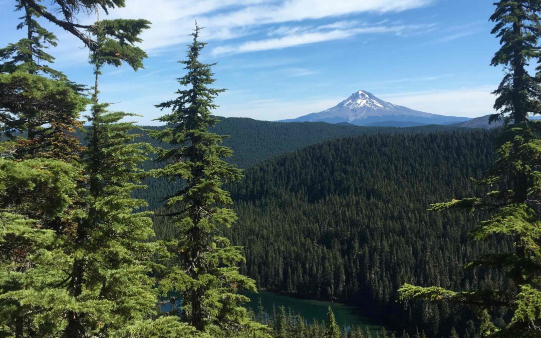
Corona Arch National Recreation Trail, Utah
Find the large parking lot on your right.No permits needed to park.Bathroom at the trailheadThe trail starts out going up stone steps and then is level for a short distance and crosses a railroad track. It is a gentle climb until the trail goes around a corner then it...
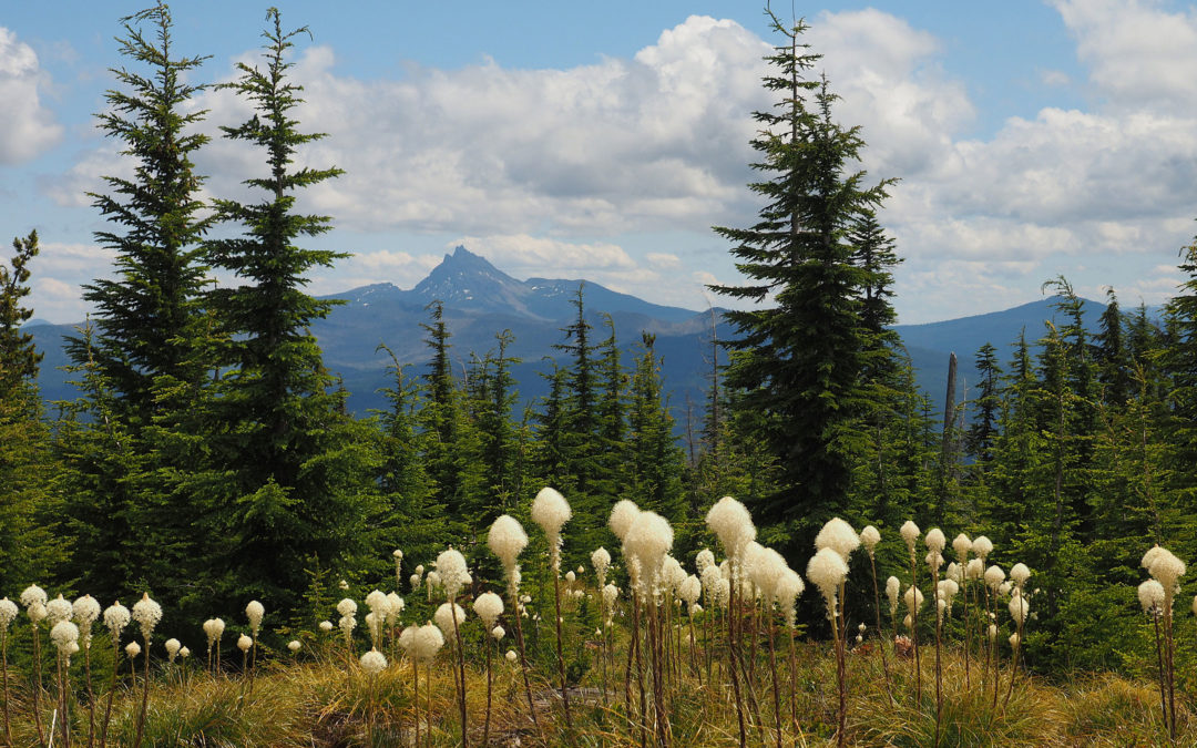
Devil’s Garden Trail, Utah
Vicinity Location: 814 miles southeast of Portland Oregon near Moab, UT in Arches National Park There are bathrooms in the parking lot. No pets allowed on this trail, and most National Park Trail National Park Entrance fee of $30.00 for a car 7 day pass or $25 for a...

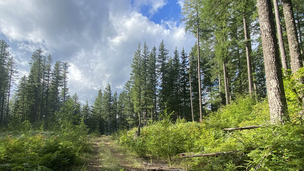
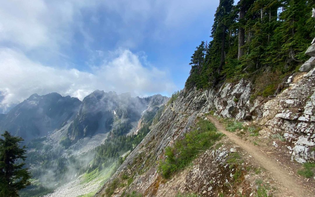
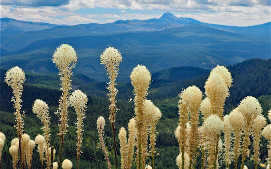
Sixth Sense Trail, WA
Vicinity Location: The trailhead is about 26 miles northeast of Portland, Oregon in the Yacolt Burn State Forest in Clark County. Directions:From Portland: The drive takes about 90 minutes from downtown Portland. Take I-205 North into Washington and drive about 4...

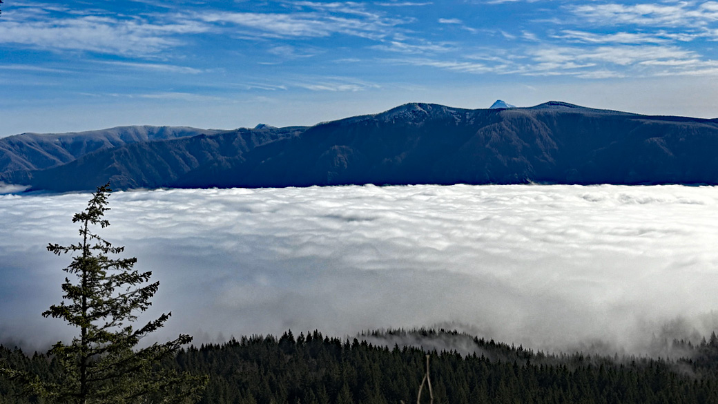
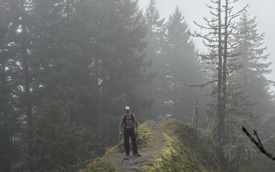
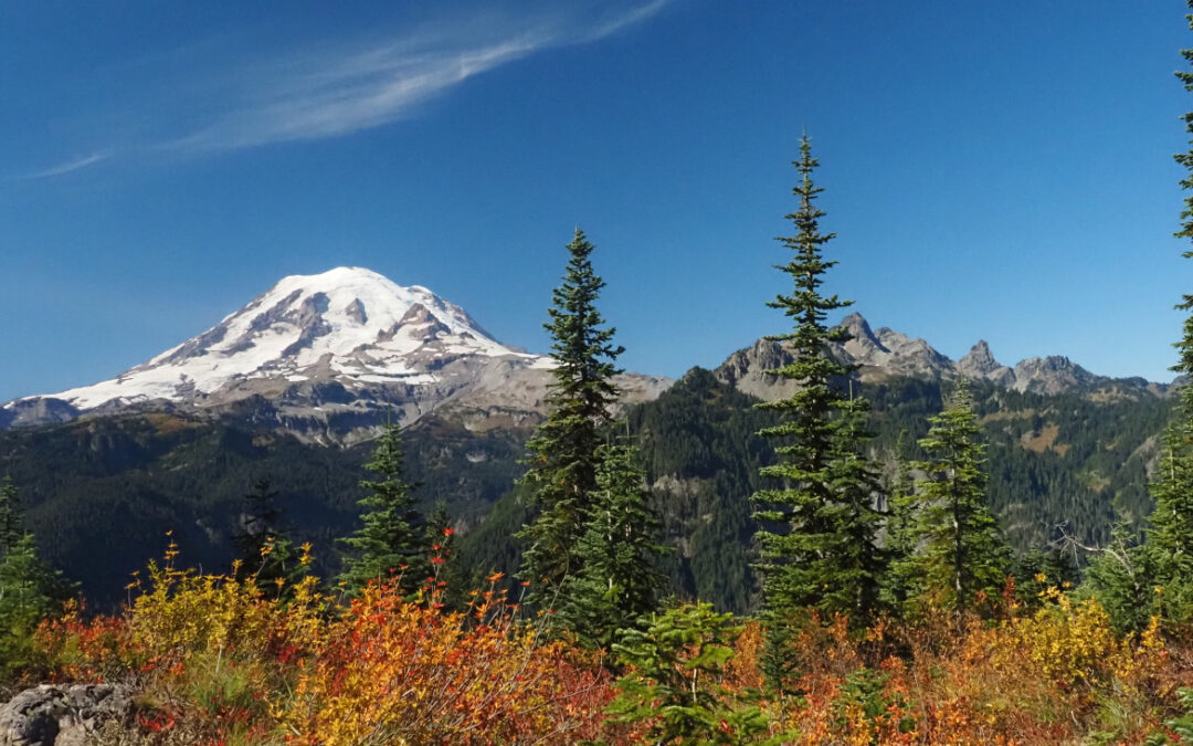
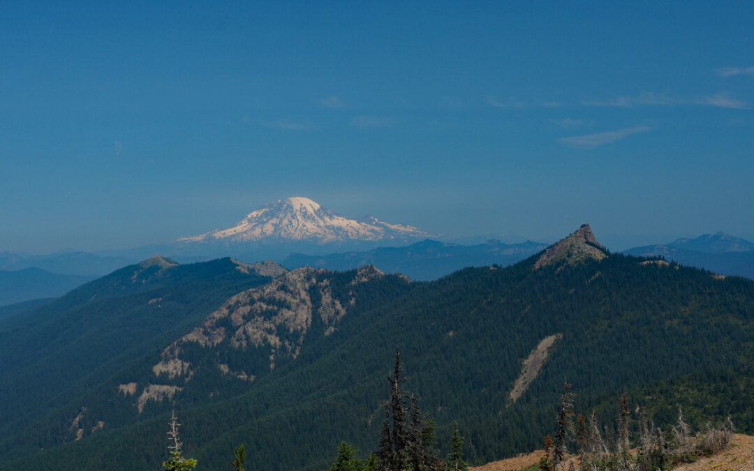
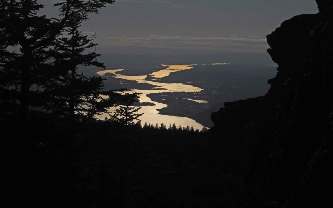
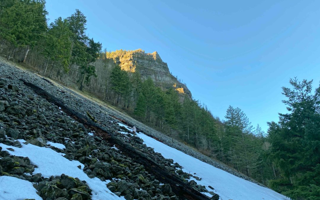
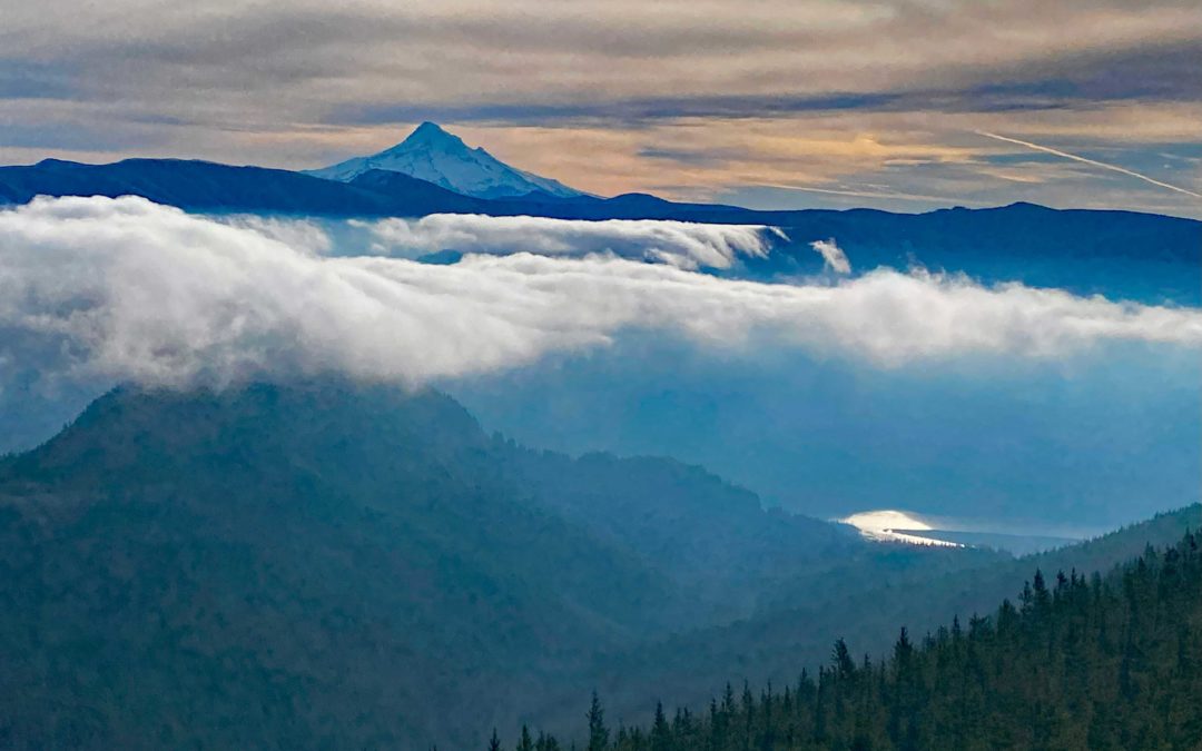
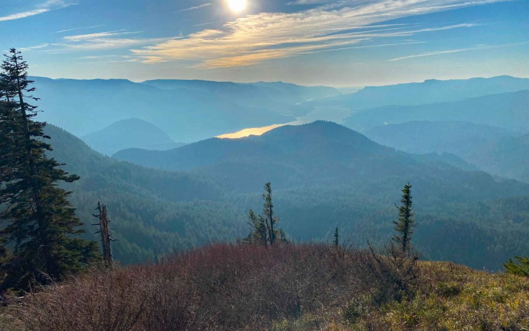
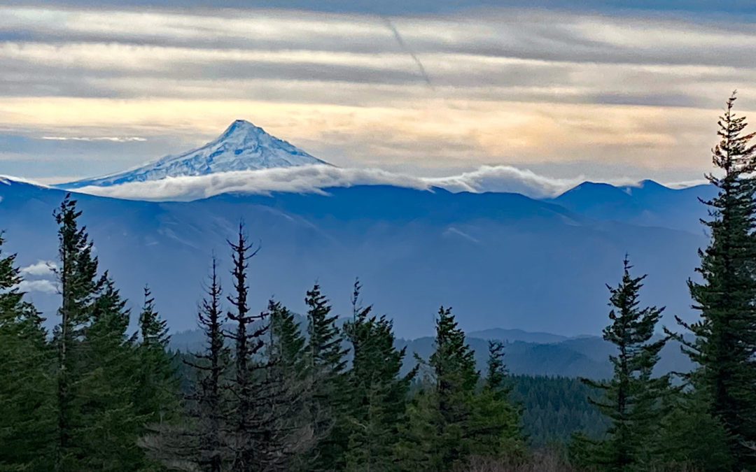
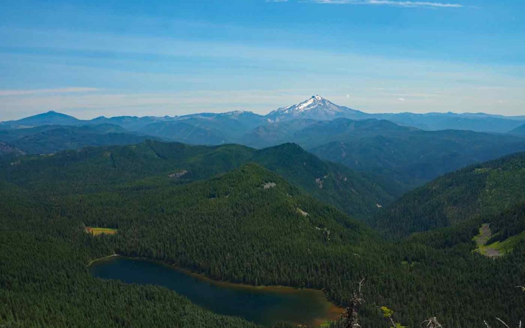
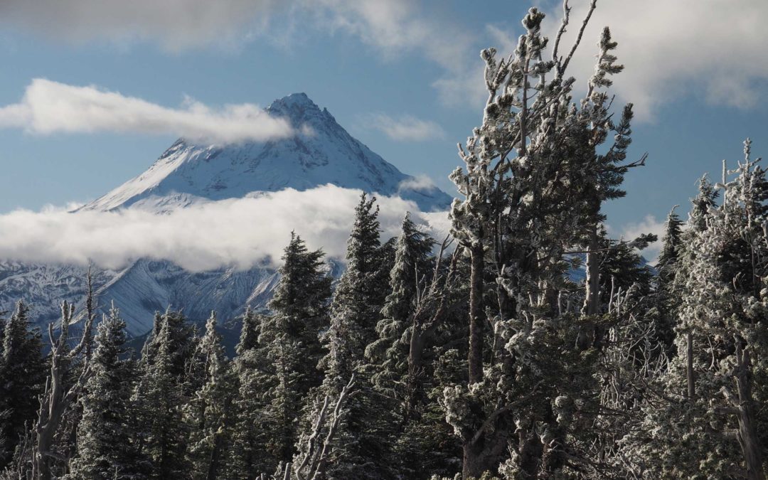
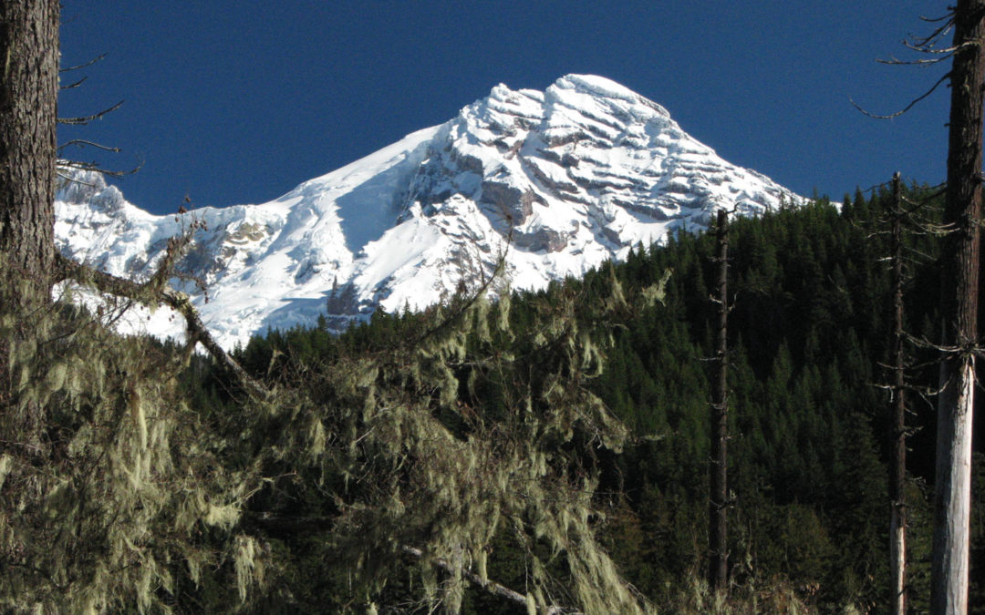
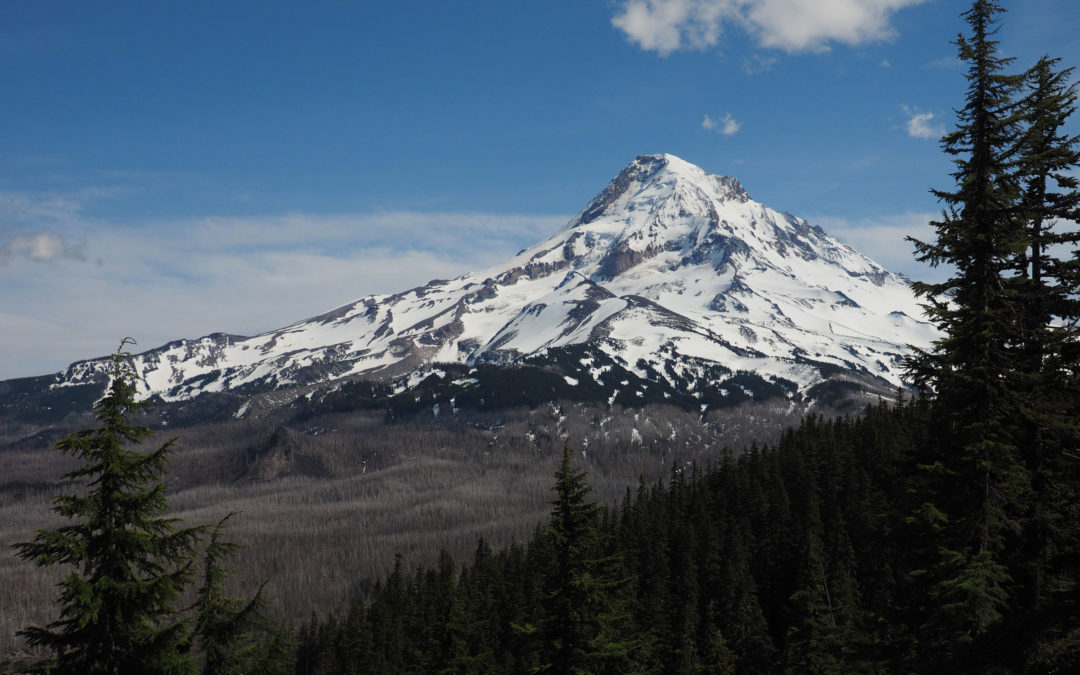
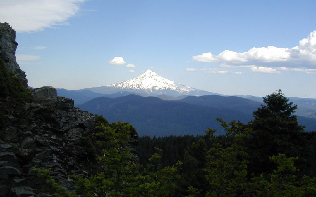
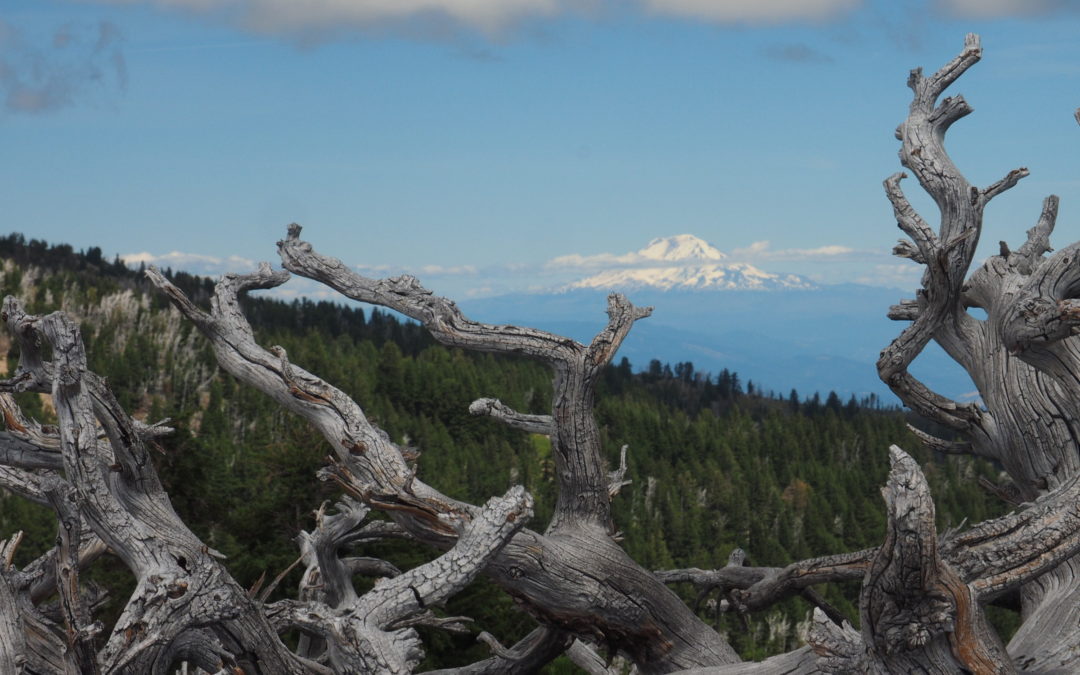
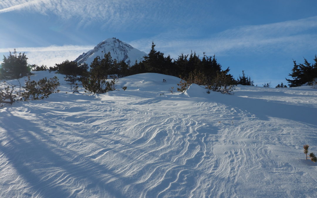
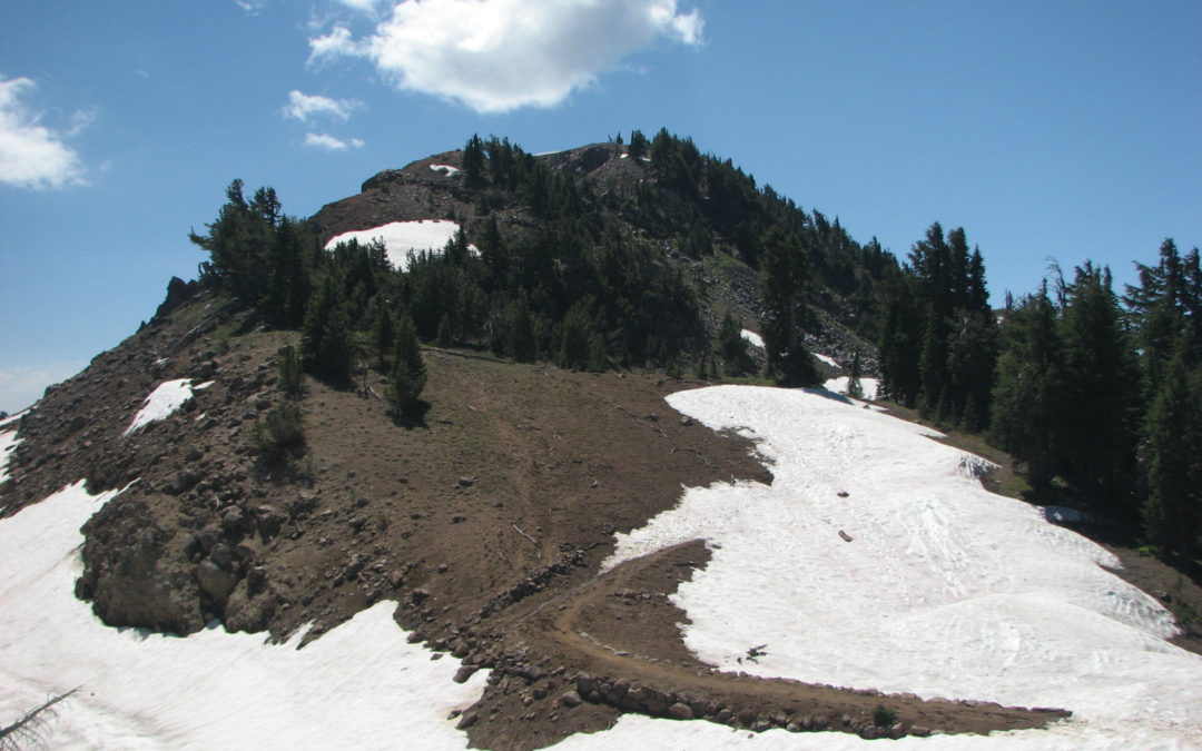
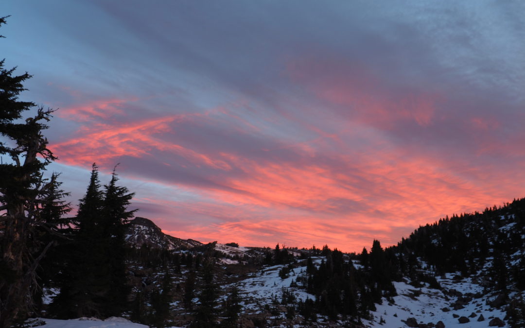
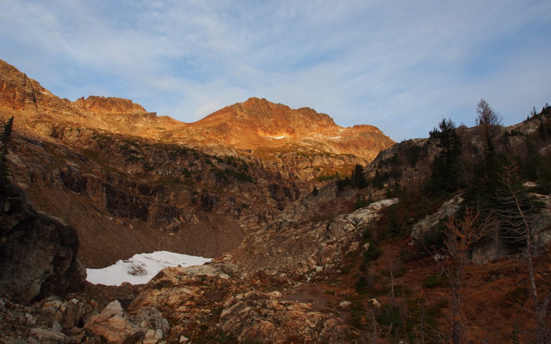
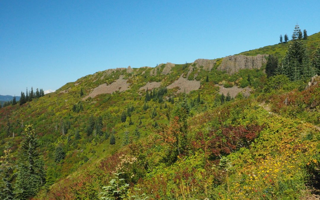
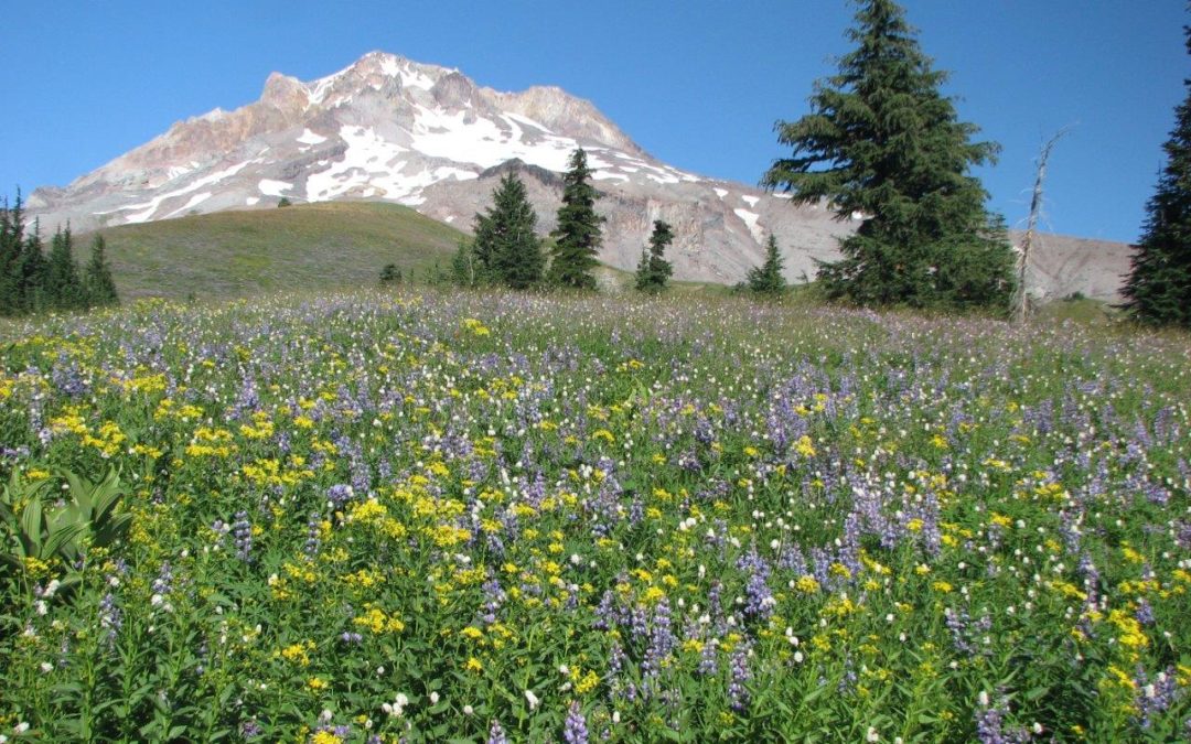
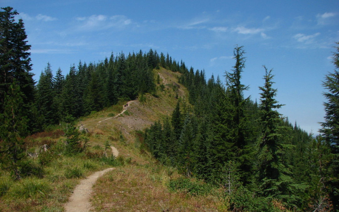
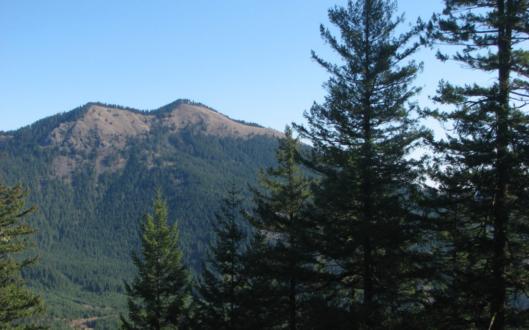
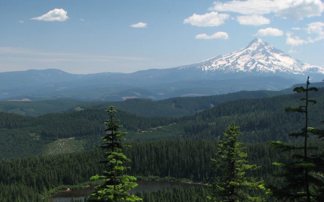
Angora Peak, OR
Vicinity Location:The trailhead is about 67 miles west of Portland, Oregon near Clatsop State Forest. Directions:From Portland take Hwy 26 and turn south on Hwy 101. This hike goes through Weyerhaeuser land but public access is permitted during daylight hours. Park at...
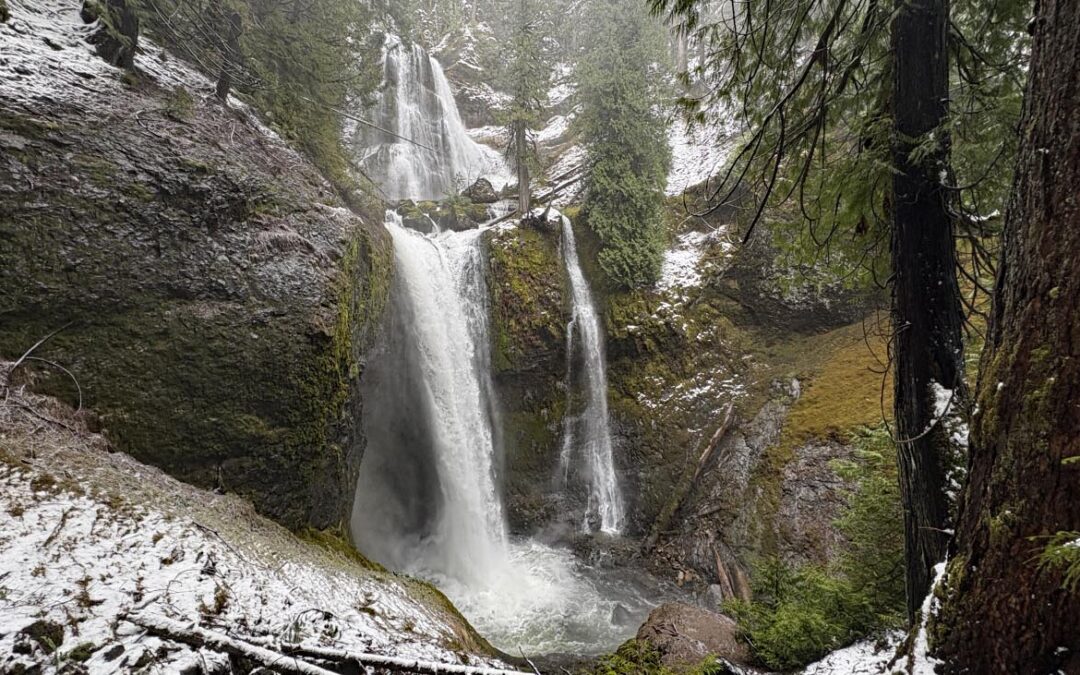
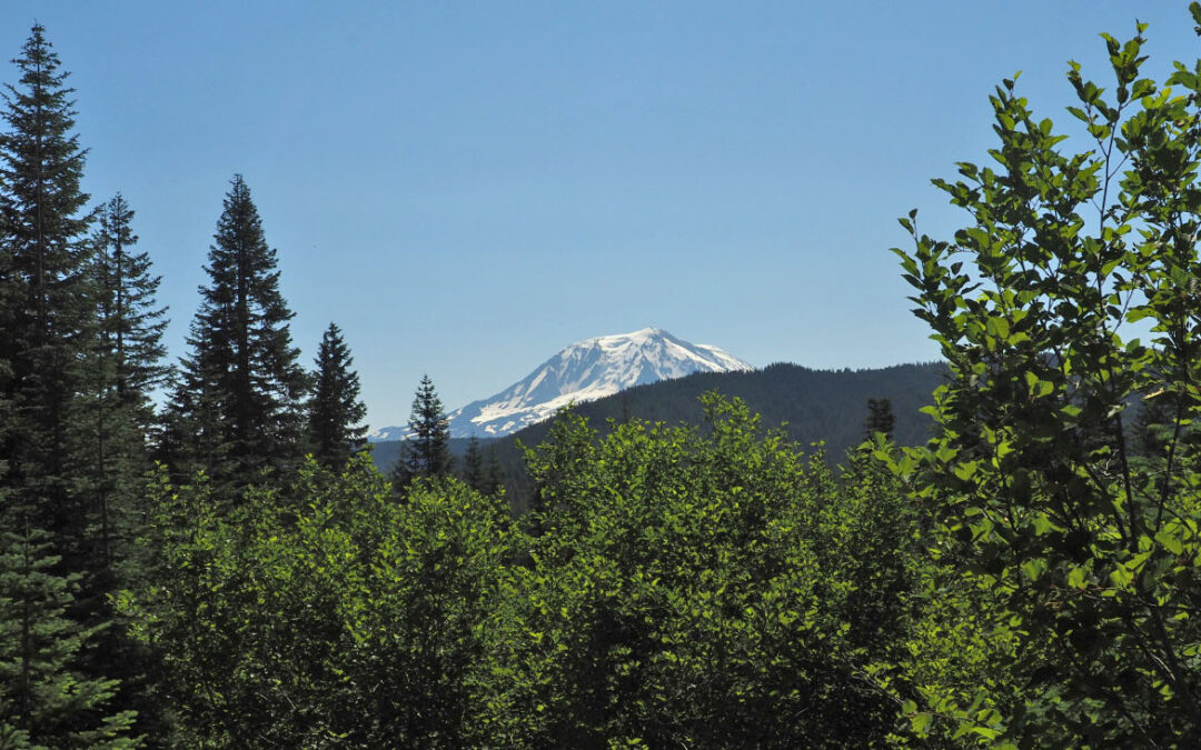
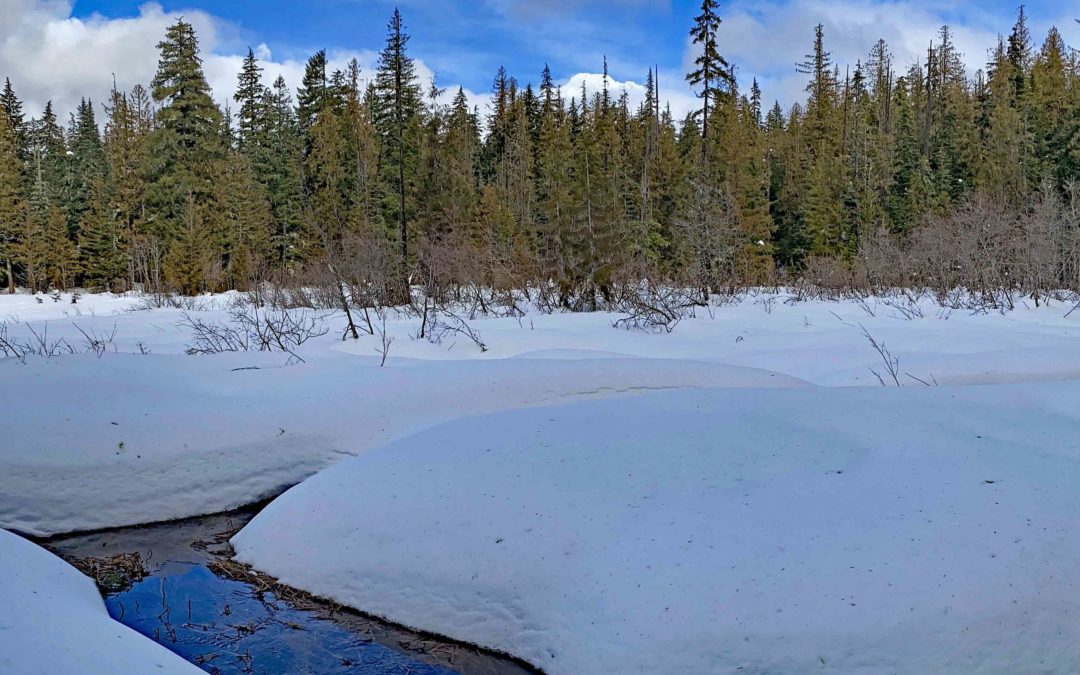
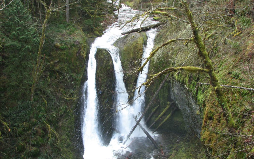
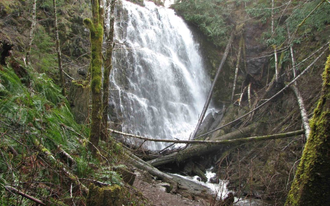
Falls Creek Falls Winter Route, WA
Vicinity Location:The trailhead is about 37 miles northeast of Portland, Oregon in the Gifford Pinchot National Forest. Directions:From Portland take I-84 to Cascade Locks. Take exit 44 and then the first right turn, just after you go under the Bridge of the Gods. Pay...
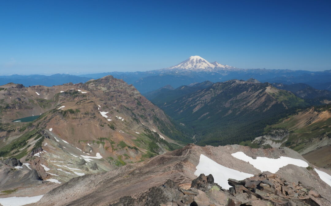
Big Huckleberry Mtn, WA
Park where FR68 crosses the Pacific Crest Trail Road & Access (FR 68)Access via Forest Road 68 is the most cited "downside." FR68 is once again becoming notorious for deep potholes. High-clearance vehicles are strongly recommended to avoid scraping. While some...
Big Slide Lake, OR
Vicinity Location: About 54 miles southeast of Portland, OR in the Bull of the Woods Wilderness You need a Northwest Forest Pass for parking. Fill out a free wilderness permit at the trailhead. There are no bathrooms at the trailhead. Length and...
Road 41-PCT Loop, WA
Vicinity Location:The trailhead is about 37 miles northeast of Portland, Oregon in the Gifford Pinchot National Forest. Directions:From Portland take I-84 to Cascade Locks. Take exit 44 and then the first right turn, just after you go under the Bridge of the Gods. Pay...
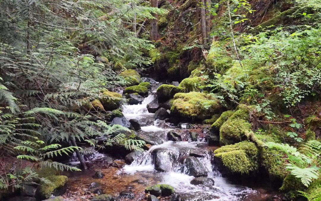
Duncan Creek – High Valley, WA
Vicinity Location:About 30 miles northeast of Portland, OR in the Gifford Pinchot National Forest. Directions:From Portland take I-84 East and merge onto I-205 North towards Portland Airport/Vancouver. Drive past the Portland Airport Exit and cross the Columbia River....
Kueffler Road – Phlox Point, WA
Vicinity Location:About 30 miles northeast of Portland, OR in the Gifford Pinchot National Forest. Directions:From Portland take I-84 East and merge onto I-205 North towards Portland Airport/Vancouver. Drive past the Portland Airport Exit and cross the Columbia River....
Duncan Creek East Loop, WA
Vicinity Location:About 30 miles northeast of Portland, OR in the Gifford Pinchot National Forest. Directions:From Portland take I-84 East and merge onto I-205 North towards Portland Airport/Vancouver. Drive past the Portland Airport Exit and cross the Columbia River....
Duncan Creek – Cynthia Falls, WA
Vicinity Location:About 30 miles northeast of Portland, OR in the Gifford Pinchot National Forest. Directions:From Portland take I-84 East and merge onto I-205 North towards Portland Airport/Vancouver. Drive past the Portland Airport Exit and cross the Columbia River....
Castle Canyon, OR
There is limited parking at the trailhead. No restrooms and no permit needed at the trailhead. Trail Maps:Topo Map-future, Download Garmin .gpx file, Open Garmin .gpx fileTrail: Castle Canyon #765 Review: January 7, 2025About a 0.1 mile up the trail you reach the...
Newton Rd Loop, OR
There is a porta potty at the trailhead, no permits needed.A fairly large gravel parking lot. Bicycles are allowed on the trail. Review: January 25, 2025Head southeast out of the parking lot down the slightly muddy gravel trail.It starts out through a forest of maples...
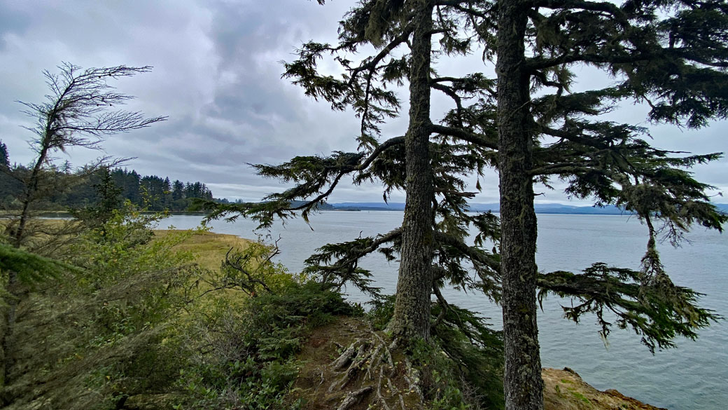
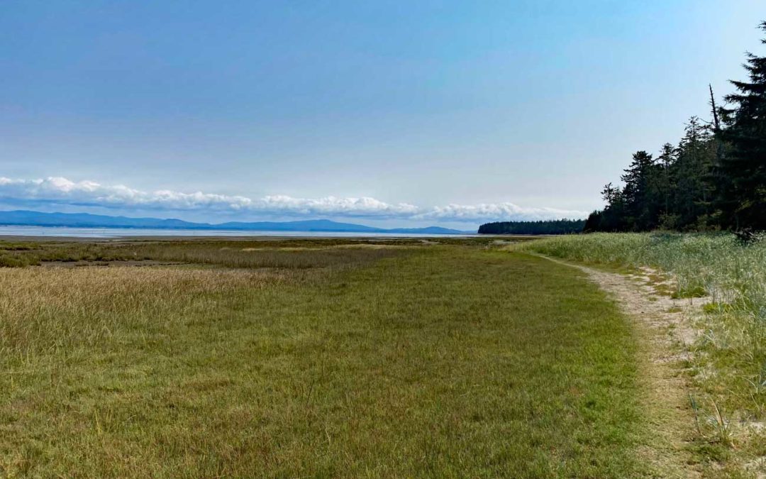
Sitka Sedge Natural Area, OR
Directions: There is a pit toilet at the trailhead.There is water at the trailhead all year.No permit permits are needed to park. Length and Elevation:3.6 miles roundtrip. Elevation at the trailhead is 14 feet. Total gain is 240 feet and loss is 240 feet. Highest...
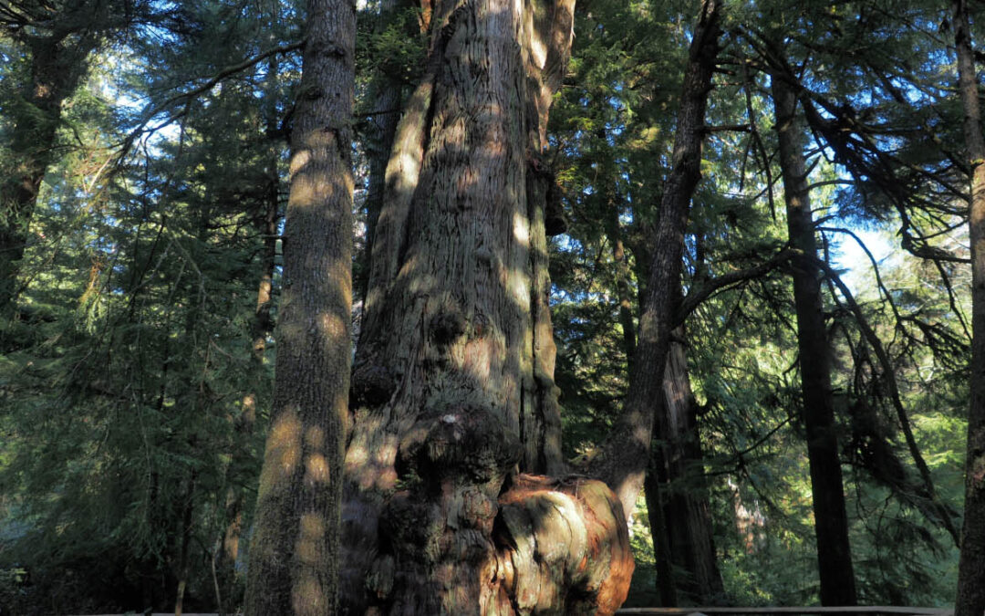
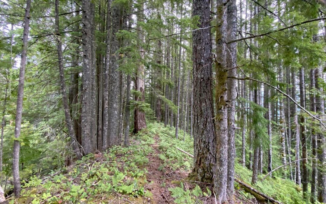
Old Growth Cedar Trail, OR
Vicinity Location:About 63 miles west of Portland, OR in the town of Rockaway. The parking lot is right next to Highway 101. If you are coming from Tillamook, just as you enter Rockaway Beach you will see a sign for Rockaway Beach which is the parking for the trail....
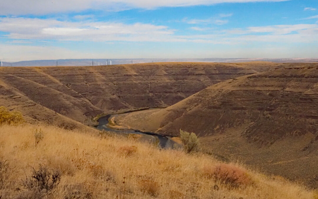
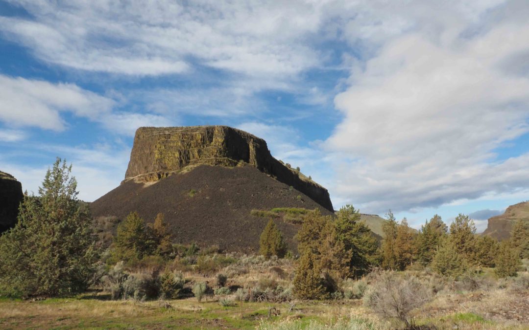
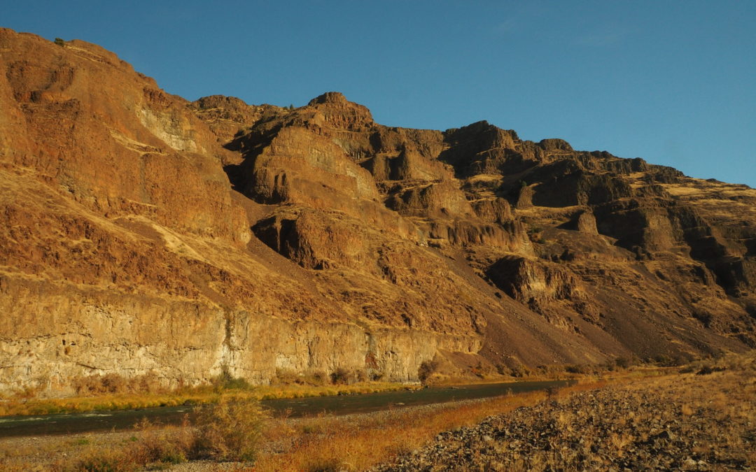
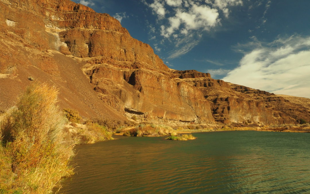
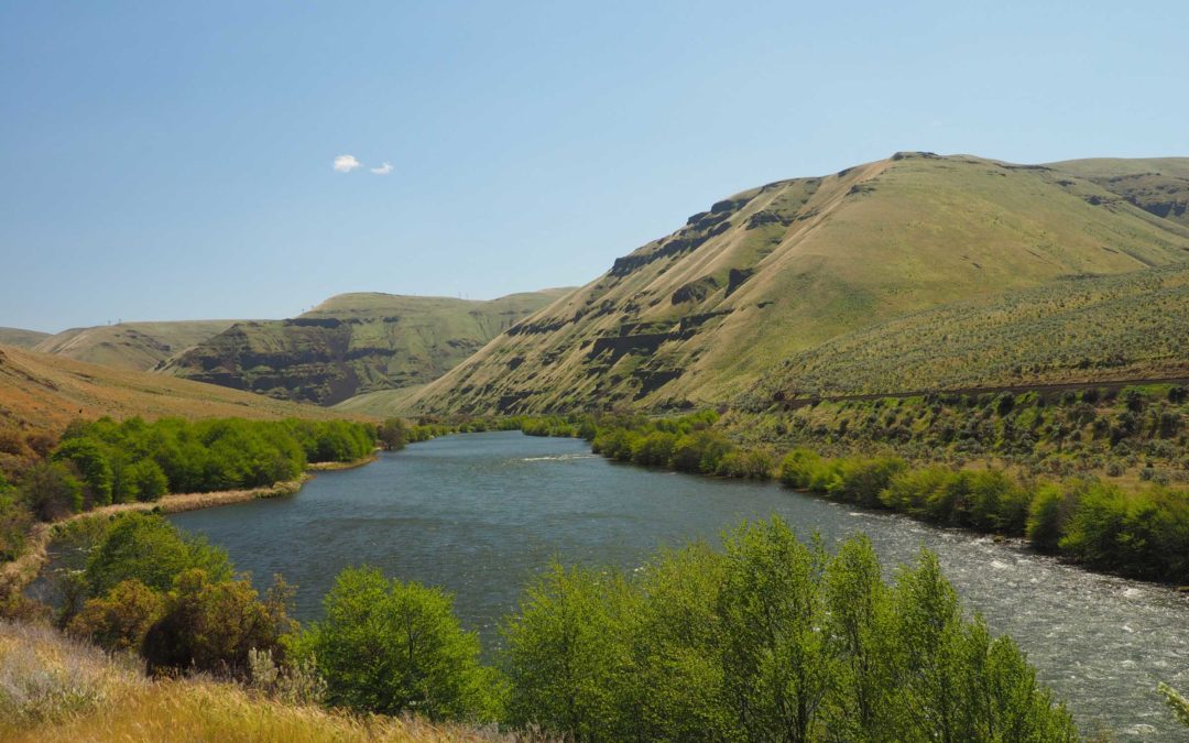
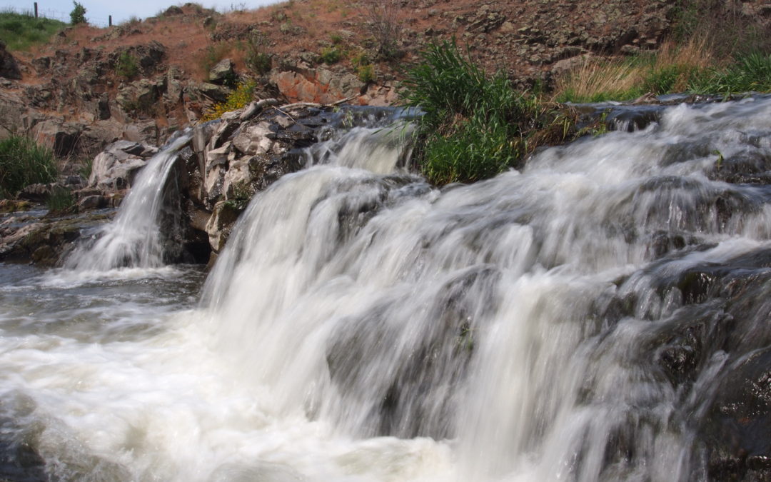
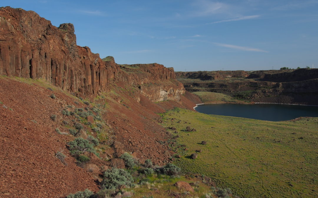
Gooseneck Loop, OR
Vicinity Location:110 miles east of Portland, Oregon in Cottonwood Canyon State Park Directions: Take I-84 East to about 95 miles and take exit 97 from I-84 East to OR-206 E in Wasco County. Follow OR-206 East for about 31 miles and turn left into Cottonwood Canyon...
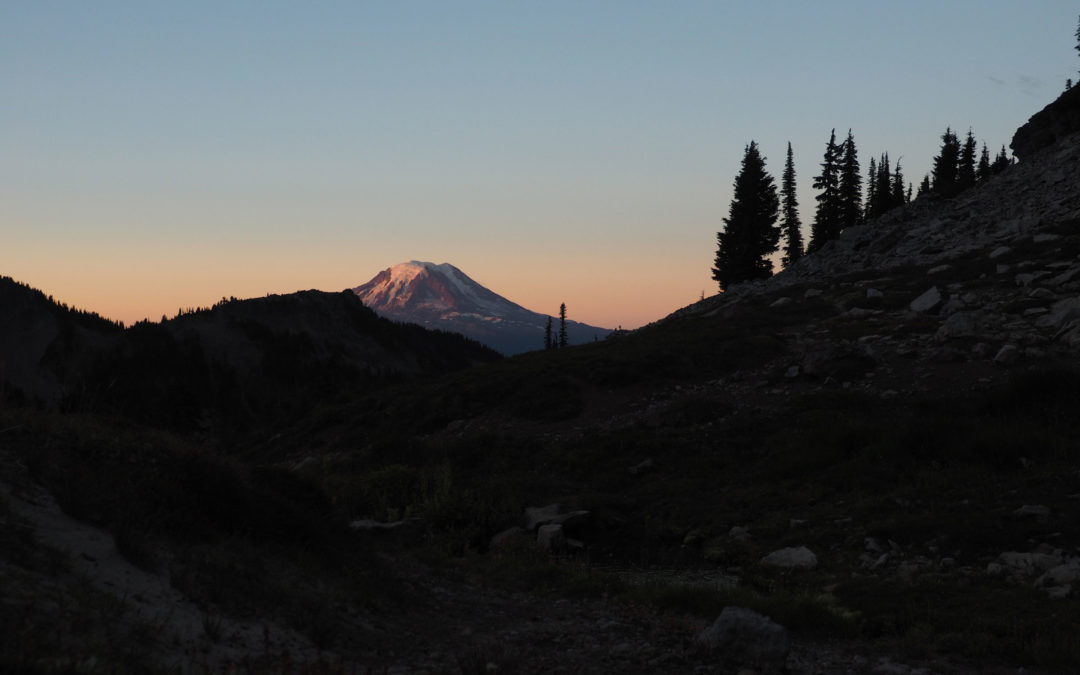
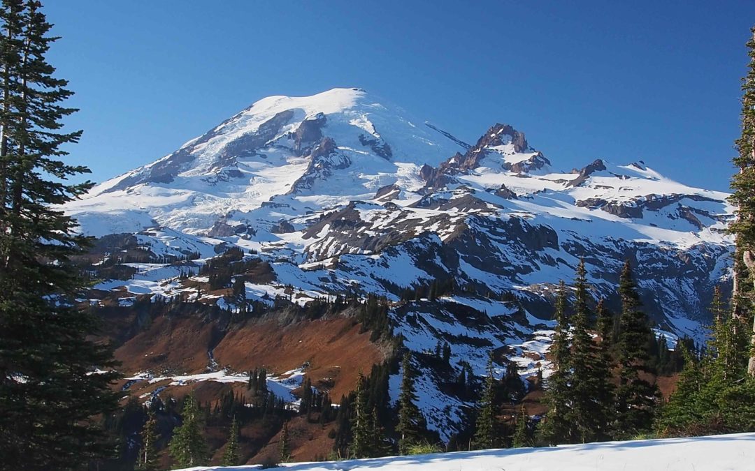
Mt Adams Highline Trail Route, WA
Vicinity Location: About 75 miles northeast of Portland, OR in the Gifford Pinchot National Forest.Directions: From Portland: Drive east on I-84 about 58 miles and take exit Take Exit 64 for Highway 35, White Salmon, and Government Camp down to the...
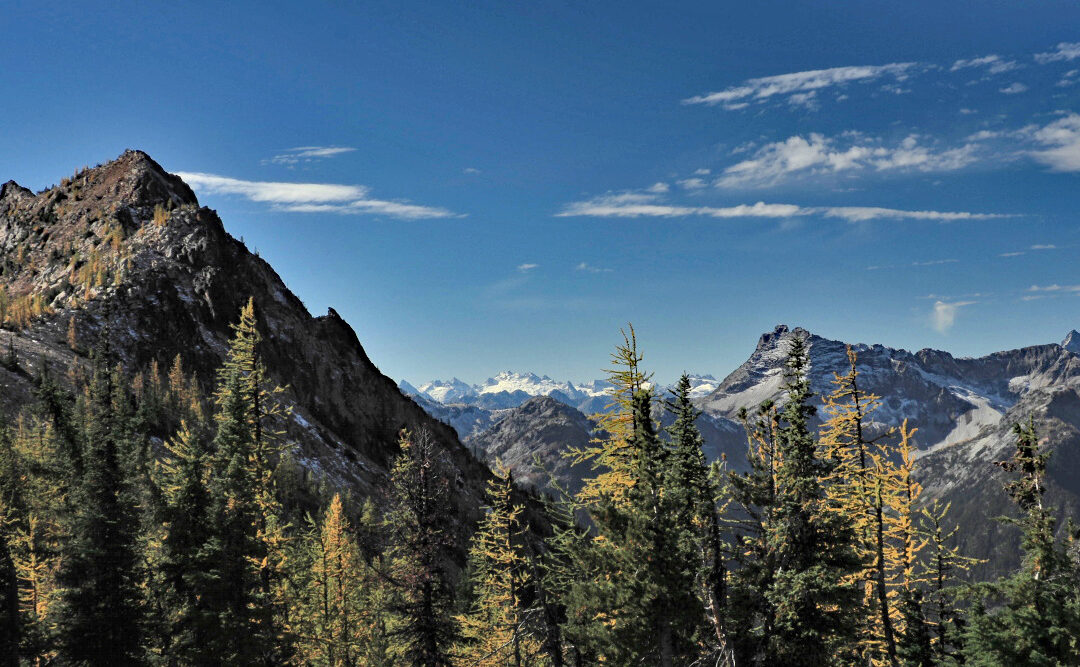
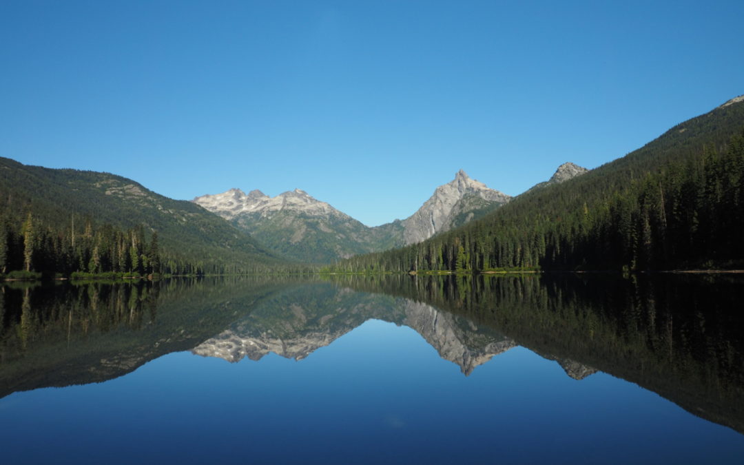
Cutthroat Pass, WA
Vicinity Location:About 230 miles northeast of Portland, OR and about 100 miles northeast of Seattle in the Okanogan National Forest. Directions: From Portland this is a very long drive. Search Google Maps for "Cutthroat Trailhead". Searching for Cutthroat Pass...
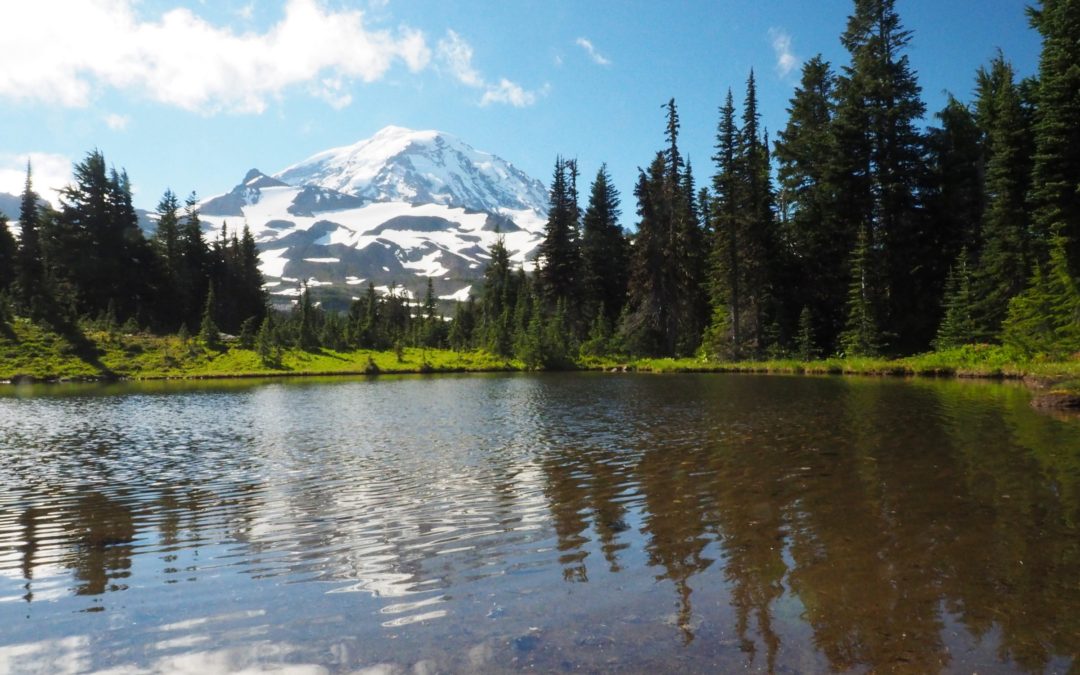
Shriner Peak, WA
Vicinity Location:About 106 miles northeast of Portland, OR in Mt Rainier National Park. Directions:From Seattle: Follow I-5 South for 25 miles and take exit 142A to merge onto WA Highway 18 East toward North Bend/Auburn. Drive 4.4 miles and take the Auburn Way/WA...
Summit Springs Trail, WA
Vicinity Location:About 30 miles northeast of Portland, OR in the Gifford Pinchot National Forest. Directions: From Portland this is about an hour drive. There are no bathrooms at the trailhead. Length and Elevation:4.7 miles roundtrip. Elevation at the trailhead...
Dark Meadow, WA
Vicinity Location:About 70 miles northeast of Portland, OR in the Gifford Pinchot Natiional Forest. Directions:Take I-5 North from Portland and take exit 68 for US-12 E toward Morton/Yakima. Drive Hwy 12 to Randle, Washington then travel south on State Highway 131...
Old Snowy, WA
Vicinity Location: About 90 miles northeast of Portland, OR in the Gifford Pinchot National Forest.Directions: From Portland: Drive north on I-5 and take Exit 68 for US-12 E toward Morton/Yakima. Drive about 62 miles and turn right...
Coastal Forest Loop Trail, WA
Vicinity Location:About 87 miles northwest of Portland, OR at Cape Disappointment State Park.Directions:Take I-5 North from Portland and drive about 43 miles. Take exit 36A-36B for WA-432 W/Kelso Dr toward Airport/Talley Way. It is easy to...
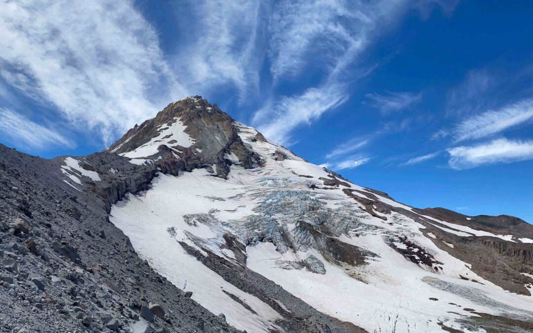
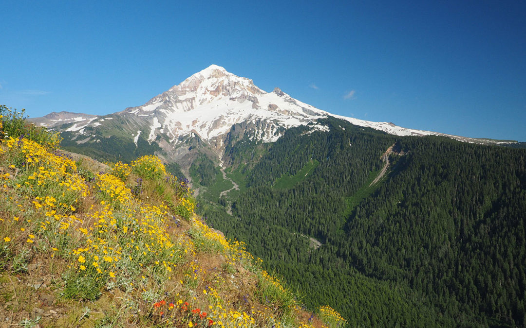
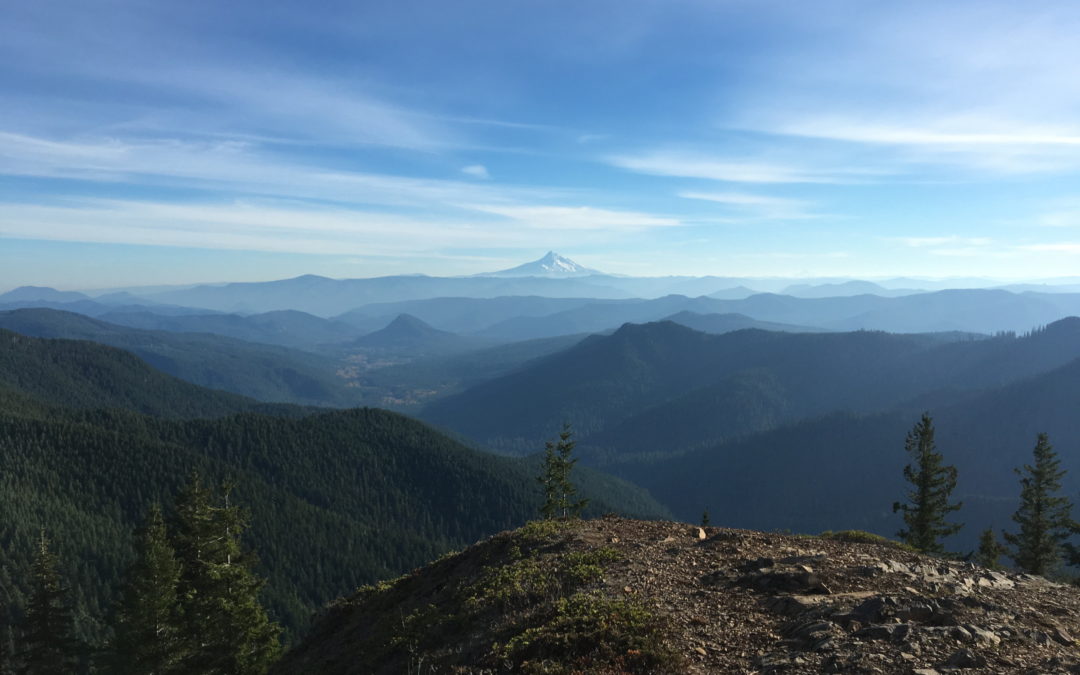
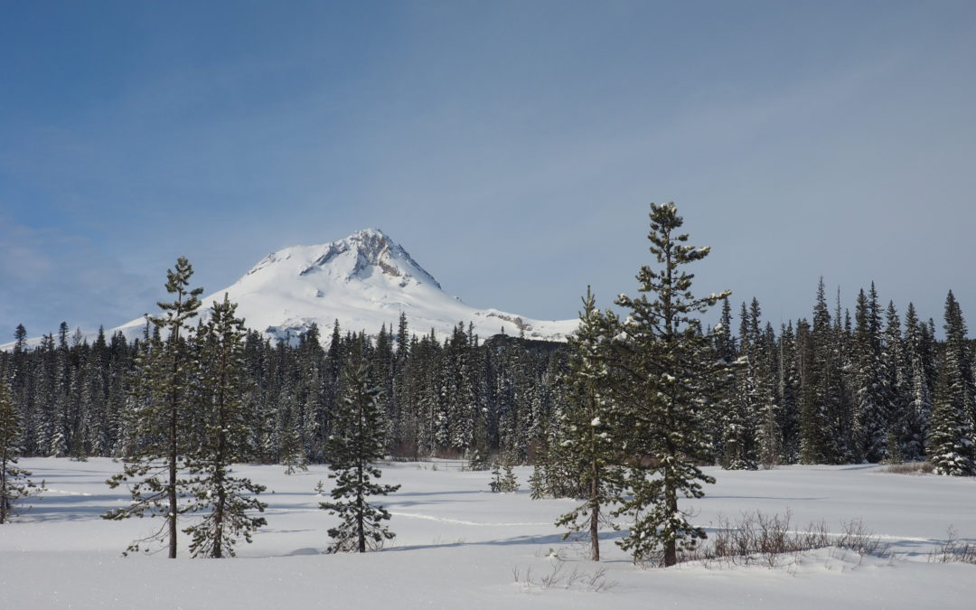
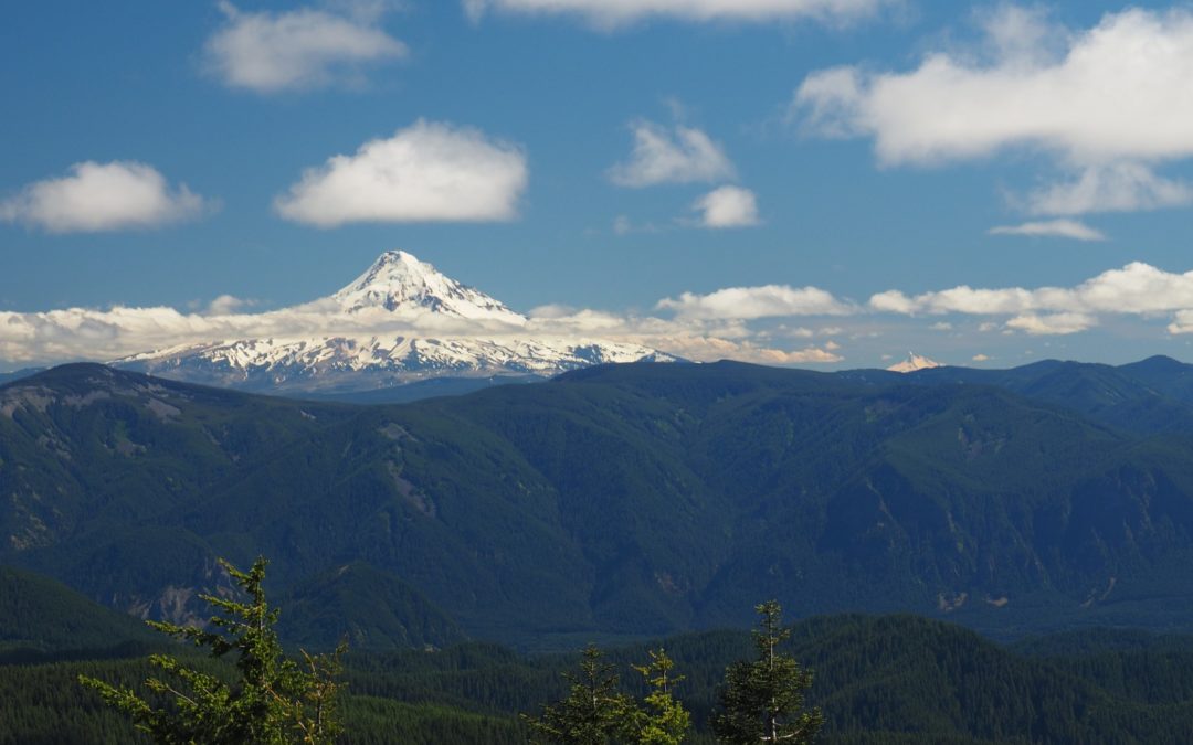
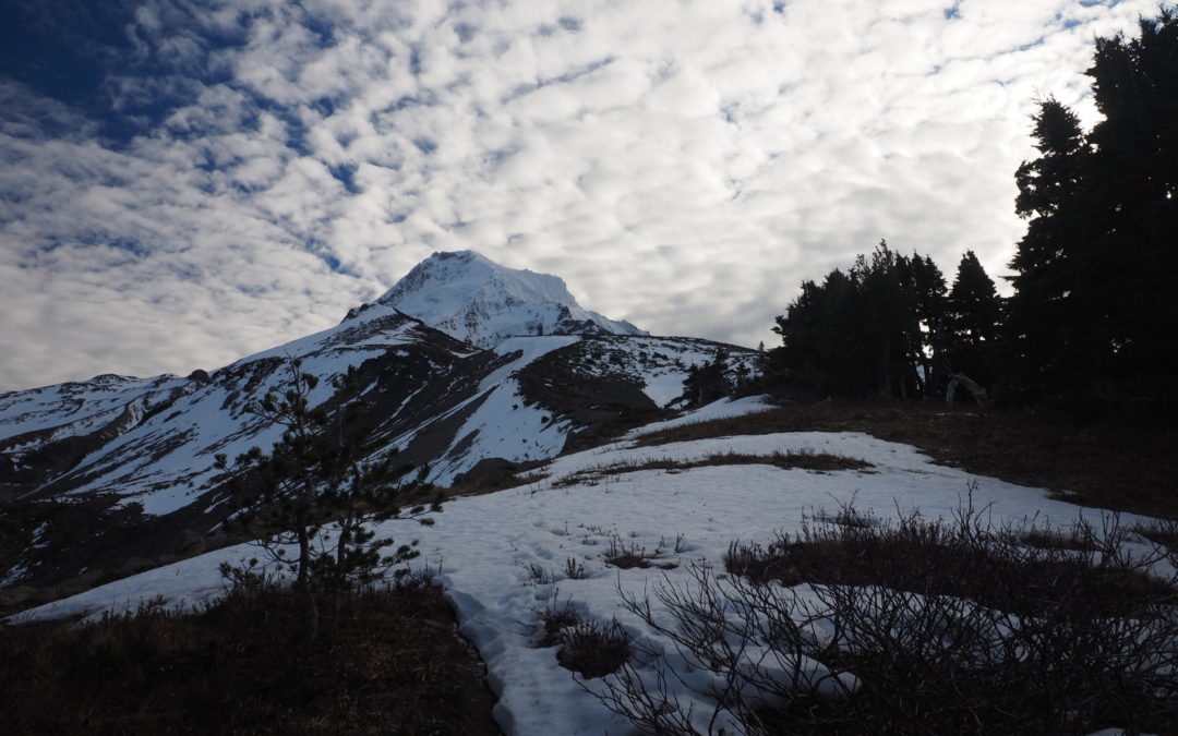
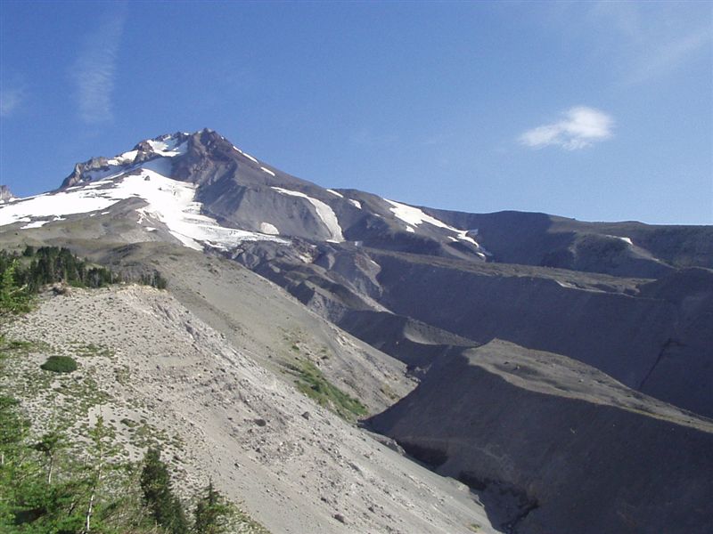
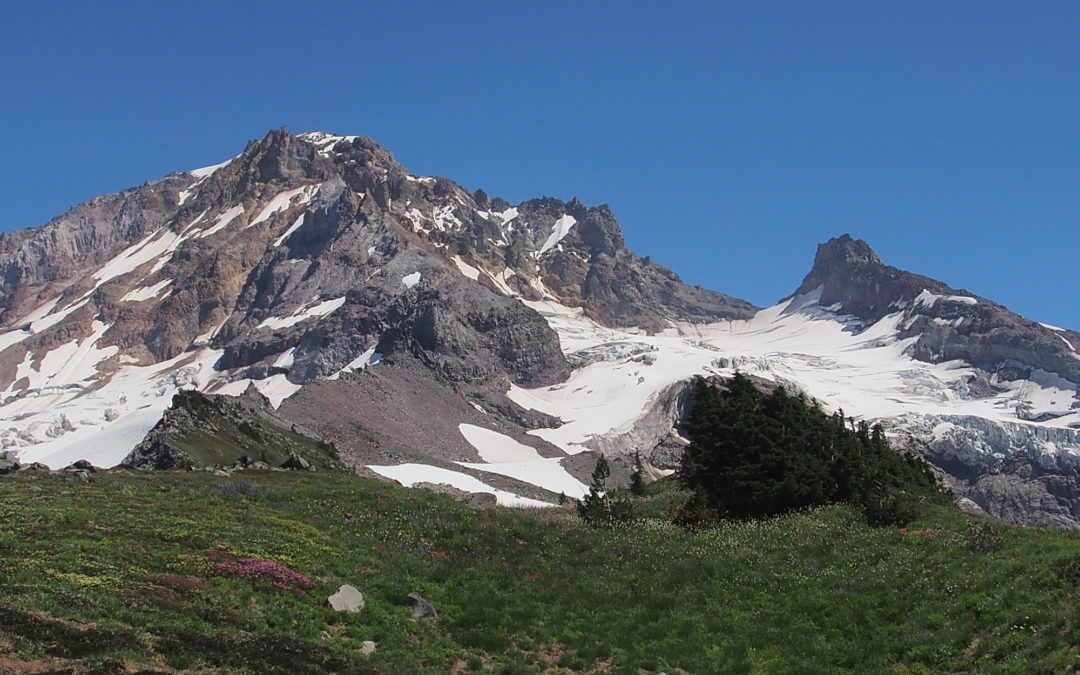
Cooper Spur, OR
Vicinity Location:The trailhead is about 53 miles east of Portland, Oregon in the Mt. Hood National Forest. Directions:From Portland take I-84 E for about 55 miles.Take Exit 64 for the Mount Hood Hwy, OR-35 towards White Salmon/Govt. Camp and at the bottom of the exit...
Jumbo Peak, WA
Directions: Take Forest Road 2324 until you’re almost to the trailhead then you turn left onto steep little road that is best suited for four-wheel-drive vehicles and leads up to the sunrise trailhead. No permits are needed to park. No bathrooms at the trailhead....
Snag Creek Trail, WA
Vicinity Location:About 36 miles northeast of Portland, OR in the Columbia River Gorge.Directions:From Portland, Oregon, there are two ways to drive to the trailhead. If you have an extra 30 minutes then make your trip a loop drive. For the loop drive, take I-205...
Larch – Bell – Loop, OR
Note: Larch Mountain Road up to the Larch Mountain day use area and trailhead at MP 14.5 typically closes at mile 10 sometime in November and reopens sometime in May. Check the Multnomah County website to near those dates to find the current status of Larch...

Grouse-Tarbell, WA
Vicinity Location:About 23 miles northeast of Vancouver, WA in the Yacolt Burn State Forest. Directions:From Portland: The drive takes about 90 minutes from downtown Portland. Take I-205 North into Washington and drive about 4 miles and take Exit 30. The exit branches...
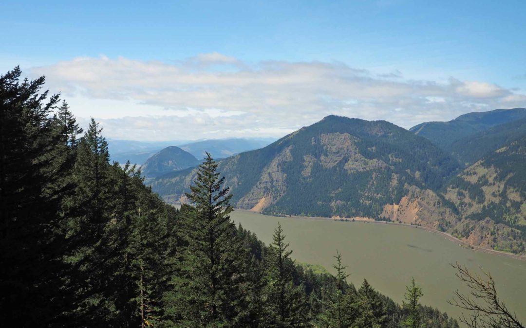
Sevenmile Hill, OR
Vicinity Location:About 69 miles east of Portland, OR in the Columbia River Gorge. Directions: From Portland: Drive east on I-84 for about 80 miles, driving past Hood River, to exit 82.Take exit 82 and drive about 0.2 mile along the off ramp and turn right at the stop...
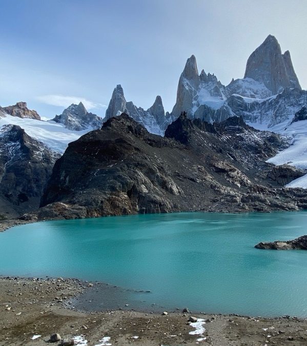
Mt. Fitz Roy Loop Patagonia, Argentina
Vicinity Location: The trailhead is about 7,200 miles southeast of Portland, Oregon in the Los Glaciares National Park, Argentina. Directions:We arrived after a long bus ride crossing the border from Chile to Argentina. It was an easy border crossing. We stopped at a...
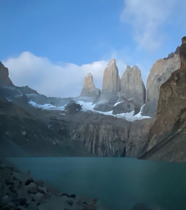
O-Circuit Patagonia, Chile
Vicinity Location: The trailhead is about 7,300 miles southeast of Portland, Oregon in the Torres del Paine National Park, Chile. Directions: Two days of flying brought us to Punta Arenas. We stayed at a homestead style AirBNB between the airport and town. Cell...
Wyeth-Herman Creek Trail, OR
Vicinity Location:50 miles east of Portland, Oregon in the Columbia River National Scenic Area. Directions:From Portland, Oregon, take I-84 east to the Wyeth exit, turn right at the bottom of the off ramp, in about 50 feet turn right again onto Herman Creek Road. This...
Crosstown Trail, OR
Vicinity Location:The trailhead is about 49 miles southeast of Portland, Oregon in the Mt. Hood National Forest. Directions:From Portland take I-84 East to the Wood Village, exit (16A). Head south and turn left onto NE Burnside Rd. Heading East, Burnside will merge...
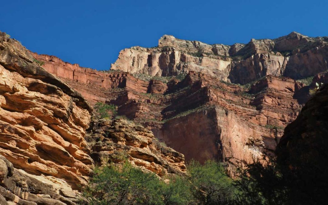
Grand Canyon, AZ
Vicinity Location:About 850 miles southwest of Portland, OR in Grand Canyon National Park.Length and Elevation:33.3 miles roundtrip + 7.3 mile car shuttle. Elevation at Bright Angel Trailhead is 6,835 feet. Total gain is 10,310 feet and loss is 10,178 feet for...
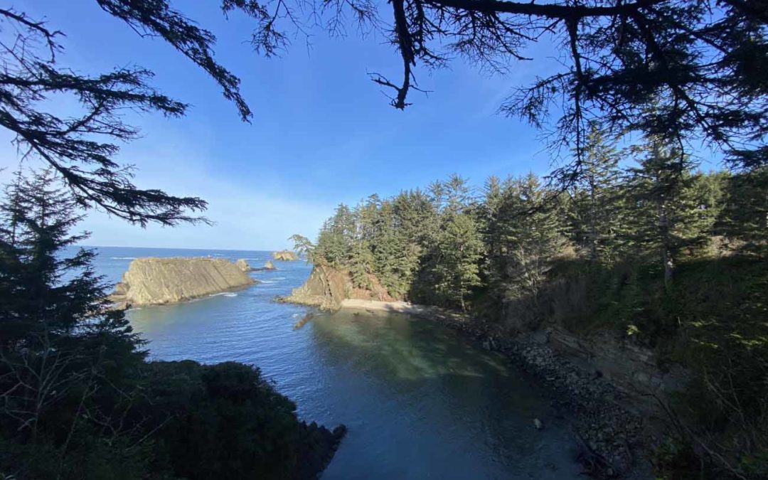
Sunset Bay, OR
Vicinity Location:About 173 miles southwest of Portland, OR near Shore Acres State Park. Directions:From Portland drive to Coos Bay then drive towards Shore Acres State Park. Drive about 1 mile past Sunset Bay and park in the small parking area on the right. No...
Phlox Point, WA
Vicinity Location:About 32 miles northwest of Portland, OR in Beacon Rock State Park. Directions:From Portland take I-205 North; drive past the Portland Airport Exit and cross the Columbia River. Move over to the right lane as you cross the bridge. Take exit 27 for...
Triangle Pass – Dog Mountain Trailhead, WA
Note: The roads leading to Triangle Pass are typically gated and closed between December 1st and the end of May. Vicinity Location:The trailhead is about 75 miles northeast of Portland, Oregon in the Gifford Pinchot National Forest.Directions:To the Triangle Pass...
Cedar Creek – Alway Trail Loop, WA
Note: The roads leading to this trailhead is typically gated and closed between December 1st and the end of May.Vicinity Location:The trailhead is about 75 miles northeast of Portland, Oregon in the Gifford Pinchot National Forest. Directions:From Portland: Take I-84...
White River Trail #538, OR
Vicinity Location: The trailhead is about 50 miles southeast of Portland, Oregon in the Mt. Hood National Forest. Directions: From Portland take I-84 East to the Wood Village, exit (16A). Head south and turn left onto NE Burnside Rd. Heading East, Burnside...
Lake Ann Trail, WA
Vicinity Location:About 240 miles north of Portland, OR and about 135 miles northeast of Seattle in the Mt. Baker-Snoqualmie National Forest. Directions: From Portland: Drive about 300 miles and 5.5 to 6.5 hours through Seattle.From Seattle: Drive on I-5 for about 240...
Chain of Lakes Trail, WA
Vicinity Location:About 240 miles north of Portland, OR and about 135 miles northeast of Seattle in the Mt. Baker-Snoqualmie National Forest. Directions: From Portland: Drive about 300 miles and 5.5 to 6.5 hours through Seattle.From Seattle: Drive on I-5 for about 240...
Yellow Aster Butte Trail, WA
Vicinity Location:About 240 miles north of Portland, OR and about 135 miles northeast of Seattle in the Mt. Baker Wilderness. Directions:From Portland: Drive about 300 miles and 5.5 to 6.5 hours through Seattle.From Seattle: Drive on I-5 for about 240 miles and take...
Marmot Pass Loop, WA
Vicinity Location: The trailhead is about 165 miles north of Portland, Oregon in the Olympic National Forest. Directions:From Portland drive north on I-5 about 100 miles and take exit 104 to Hwy 101 North for 85.7 miles and make a sharp left on Penny Creek Rd which is...
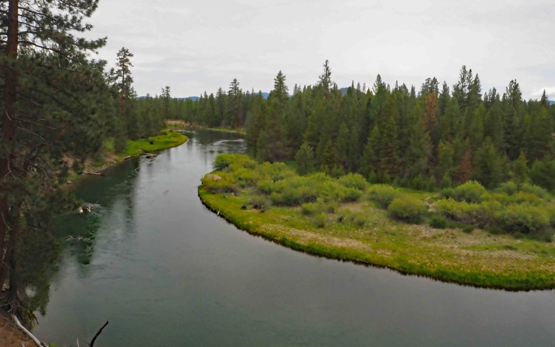
Trout Creek – Deschutes River, OR
Vicinity Location:About 90 miles southeast of Portland, OR in the Deschutes National Forest.Directions:From Portland drive east on Highway 26. Pass by Government Camp and in about 2 miles stay left at the junction with Highway 35 and continue on Highway 26 towards...
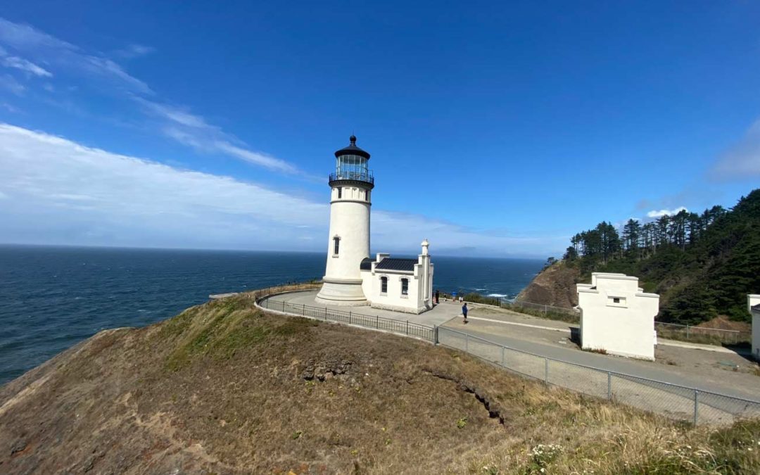
North Head Trail, WA
Vicinity Location:About 100 miles northwest of Portland, OR in Cape Disappointment State Park. Directions:From Portland: drive I-5 north for about 43 miles and take exit 36 toward WA-432 W. Drive 4 miles and turn left onto Oregon Way/Hwy 433 and head towards Oregon...
Dune Forest Loop Trail, WA
Vicinity Location:About 85 miles northwest of Portland, OR in Leadbetter Point State Park Park. Directions:From Portland: drive I-5 north for about 43 miles and take exit 36 toward WA-432 W. Drive 4 miles and turn left onto Oregon Way/Hwy 433 and head towards Oregon...
Elkhorn Crest Trail, OR
Vicinity Location: The trailhead is about 220 miles east of Portland, Oregon in the Wallowa-Whitman National Forest and North Fork John Day Wilderness. Directions:From Portland Follow I-84 E to for about 280 miles and take exit 285 from I-84 E in North Powder. Take...
Pacific Crest Trail Section J – WA
Vicinity Location: The trailhead is about 207 miles northeast of Portland, Oregon in the Alpine Lakes Wilderness and the Mt. Baker-Snoqualmie National Forest. Directions:Set up a car shuttle between the Stevens Pass and Snoqualmie Pass trailheads. Parking at the...

Appaloosa Trail, WA
Vicinity Location: The trailhead is about 26 miles northeast of Portland, Oregon in the Yacolt Burn State Forest in Clark County. Directions:From Portland: The drive takes about 90 minutes from downtown Portland. Take I-205 North into Washington and drive about 4...

Sword Fern Way, WA
Vicinity Location: The trailhead is about 26 miles northeast of Portland, Oregon in Clark County. Directions:From Portland, OR drive towards Battle Ground to NE Berry Rd. to the intersection of NE Berry Rd. and NE Kaskillah Drive. Just before you get to that...
Ice Lake – Matterhorn, OR
Vicinity Location: The trailhead is about 265 miles east of Portland, Oregon in the Eagle Cap Wilderness. Directions: From Portland, drive I-84 east from Portland for about 260 miles and take Exit 261 for Highway 82, La Grande and Elgin. After exiting, turn right for...
Lostine-Minam River Loop, OR
I'll get the mileage and elevation updated with our GPS tracks but this is pretty close for now. Date Start Stop/Camp Trail Distance (mi) Side Trip/s Distance (mi) Total Day (mi) 7/21 Sean's house Joseph, OR N/A 322.4 322.4 7/22 Joseph, OR Two Pan TH N/A 22.0 ...
Indian Creek Trail, OR
Vicinity Location:About 58 miles east of Portland, OR in the Columbia River Gorge. Directions: From Portland: Drive I-84 E for 60 miles to exit 63 from I-84 E. Turn right at the stoplight onto 2nd Street. Follow 2nd Street for 0.2 mile and turn right onto State Street...
Big Tree and Cougar Woods Trail, OR
Vicinity Location: La Pine State Park, about 27 miles south of Bend.Directions:From Portland drive to Bend, Oregon on Hwy 26 or I-5 and Hwy 20 depending on conditions. From Bend, Oregon drive on Hwy 97 South for about 22 miles. Turn right into LaPine State Park and...
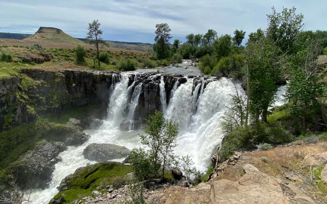
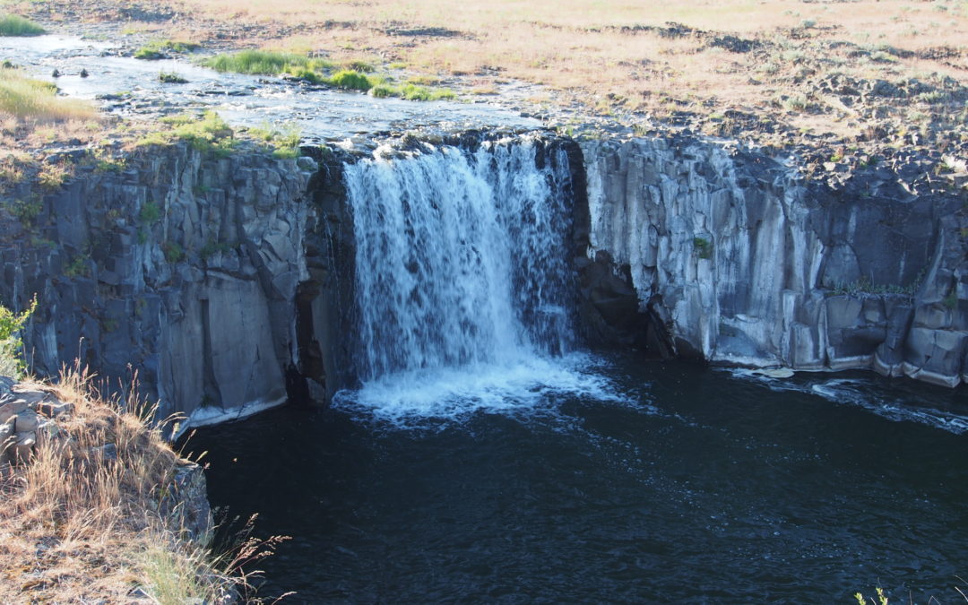
White River Falls, OR
Vicinity Location: The trailhead is about 77 miles southeast of Portland, Oregon in White River Falls State Park. Directions:From Portland drive I-84 E to for about 84 miles US-197 S/US-30 W in The Dalles. Take and take exit 87.Take Hwy...
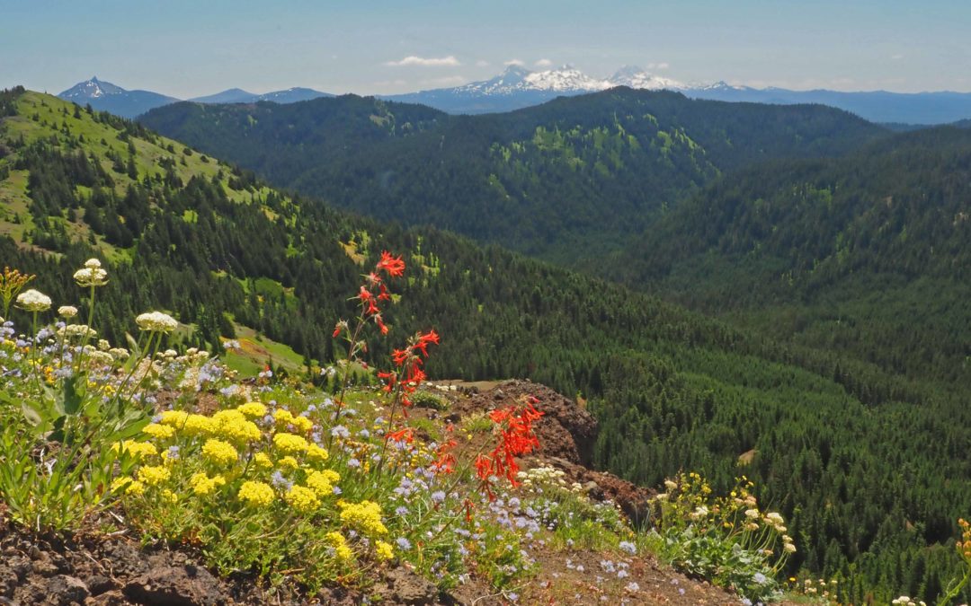
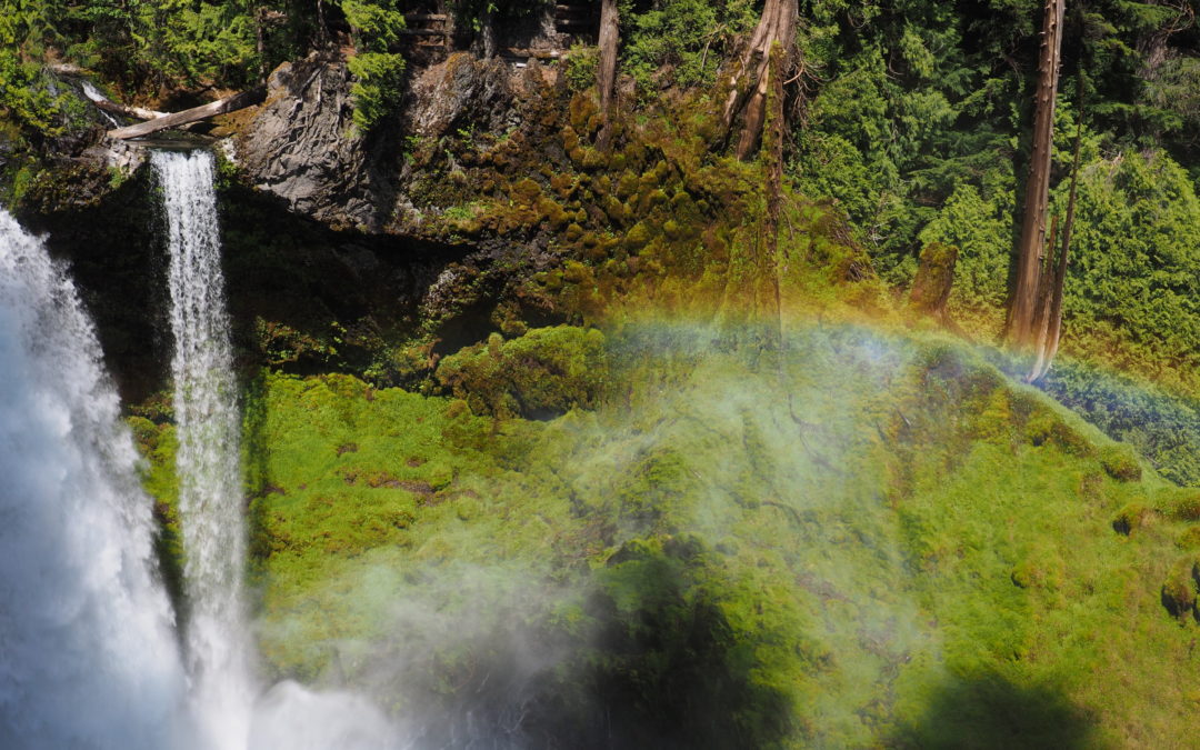
Cone Peak – Iron Mountain, OR
Directions: From Portland drive south on Interstate 5 to Albany, then take Highway 20 east through Lebanon and Sweet Home. Continue on Highway 20 for about 35 miles. The Tombstone Pass is on the right. A Northwest Forest permit is required to park here in summer...
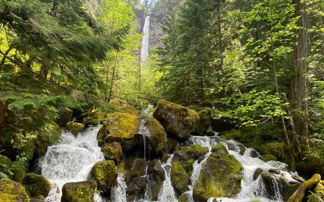
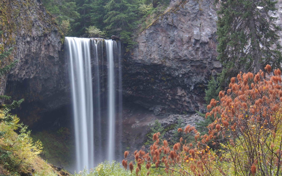
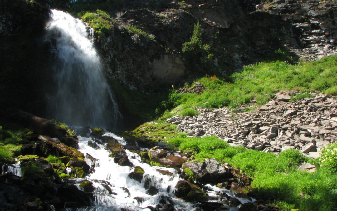
Watson Falls, OR
Vicinity Location:About 156 miles south of Portland, OR in the Umpqua National Forest.Directions: From Roseburg, OR, take OR-138 east / northeast Diamond Lake Boulevard. Continue on Highway 138 to milepost 61.3. Turn south off Highway 138 onto Forest Road 37 (Fish...
Gumjuwac Trail – Badger Lake, OR
Vicinity Location:About 55 miles east of Portland, OR in the Mt. Hood National Forest. Directions:From Portland, take I-84 east for about 55 miles and take exit 64 in Hood River for Hwy 35. Drive to the traffic signal and turn right onto Button Bridge Road/Hwy...
Deschutes River Canyon, OR
Vicinity Location: The trailhead is about 87 miles southeast of Portland, Oregon in the Lower Deschutes BLM lands. Directions:From Portland to Macks Canyon take I-84 East to the Wood Village, exit (16A). Head south and turn left onto NE Burnside Rd. Heading East,...

Little Zigzag Falls, OR
Vicinity Location: The trailhead is about 45 miles southeast of Portland, Oregon in the Mt. Hood National Forest. Directions:From Portland take I-84 East to the Wood Village, exit (16A). Head south and turn left onto NE Burnside Rd. Heading east, Burnside will merge...
Silver Shadow Trail, WA
Vicinity Location: The trailhead is about 26 miles northeast of Portland, Oregon in the Yacolt Burn State Forest. Directions: From Portland drive North on I-5 from Vancouver and take exit 11 then turn right and take highway 502 5.8 miles to Battle Ground. You can also...
Big Tree Creek, WA
Vicinity Location: The trailhead is about 26 miles northeast of Portland, Oregon in Clark County. Directions:From Portland, OR, take I-205 north to exit 30b to Battle Ground. Move over to the middle lane and proceed north on SR503 for about 10 miles to Battle Ground....
Fret Creek Trail, OR
Vicinity Location:About 54 miles east of Portland, OR in the Mt. Hood National Forest.Note: This trailhead is inaccessible in the winter because Forest Road 44 is not plowed to this area. Directions:Drive south on Highway 35 towards Mt. Hood for 25.4 miles. Turn left...
Oak Ridge Trail/Bald Mtn, OR
Vicinity Location: The trailhead is about 54 miles east of Portland, Oregon in the Mt. Hood National Forest. Directions:From Portland take I-84 E for about 55 miles. Take Exit 64 for the Mount Hood Hwy, OR-35 towards White Salmon/Govt. Camp and at the bottom of the...
White River Trail, OR
Vicinity Location: The trailhead is about 50 miles southeast of Portland, Oregon in the Mt. Hood National Forest. Directions: From Portland take I-84 East to the Wood Village, exit (16A). Head south and turn left onto NE Burnside Rd. Heading East, Burnside...
Cinnamon-Toutle Loop, WA
Notice: 6/1/2023 - Portions of the #204 Cinnamon Trail, #238 Toutle Trail, #242A Kalama Falls Trail, which depart from the horse camp trailhead, remain closed. To view the map of the remaining closure area, click here.Vicinity Location: The trailhead is...
Vancouver Lake North Trail, WA
Directions from Portland: Drive to Vancouver, WA on I-5 and take the Mill Plain exit. You need a $3 entrance fee or Clark County annual pass. There should be plenty of parking arriving in the morning. Bathrooms at the main parking lot. Length and Elevation:2.4 miles...
Phelps Creek – Spider Gap – Buck Creek, WA
Vicinity Location: Central Washington in the Okanogan-Wenatchee National Forest Location: The trailhead is 64 miles east of Everett and 150 miles northeast of Portland. Directions from Portland:Avoid all the Seattle area traffic and take I-84 E for about 100 miles...
Narada Falls, WA
Vicinity Location:About 97 miles northeast of Portland, OR. and 65 miles southeast of Seattle in Mt. Rainier National Park. Directions:From Seattle, take I-5 South to Hwy 512 East and go towards Puyallup (Exit 127). Follow Hwy 512 East for about 2 miles....
Sawtooth Mountain, WA
Vicinity Location:The trailhead is about 58 miles northeast of Portland, Oregon in the Gifford Pinchot National Forest. Directions:From Portland, Oregon, there are two ways to drive to the trailhead. If you have an extra 30 minutes then make your trip a loop drive....
Battle Ax Mountain, OR
Notice: 9/1/2023 - Although open, this trailhead is in an area impacted by the Beachie Creek and & Lionshead Fires. Before visiting areas affected by wildfire, make sure to review the 4 Steps for Safety for recreating in burned areas. Vicinity Location:The...
Willapa Art – Cutthroat Trail, WA
Vicinity Location:About 115 miles southwest of Seattle, WA and 87 miles northwest of Portland in the Willipa National Wildlife Refuge.Directions:From Portland: drive to Astoria and cross the Astoria-Megler bridge to Washington.Drive about 13.2 miles and turn right...
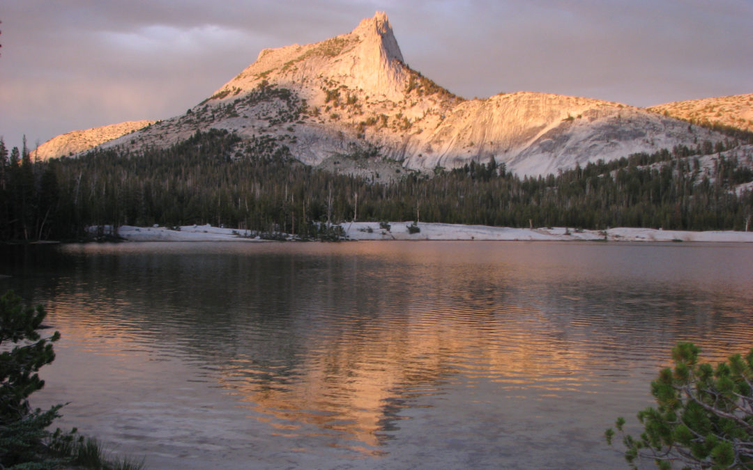
Sisters – Camp Lake, OR
Note 2/14/2023: During summer and fall a Central Cascades Wilderness Permit is required. The Central Cascades Wildernesses limited entry system began May 22, 2020 and brings day-use limits to 19 out of 79 trails and overnight limits to all trails in the Mt....
Bald Mountain, OR
Vicinity Location: The trailhead is about 40 miles east of Portland, Oregon in the Mt. Hood National Forest. Directions: From Portland take I-84 East to the Wood Village, exit (16A). Head south and turn left onto NE Burnside Rd. Heading East, Burnside will merge into...
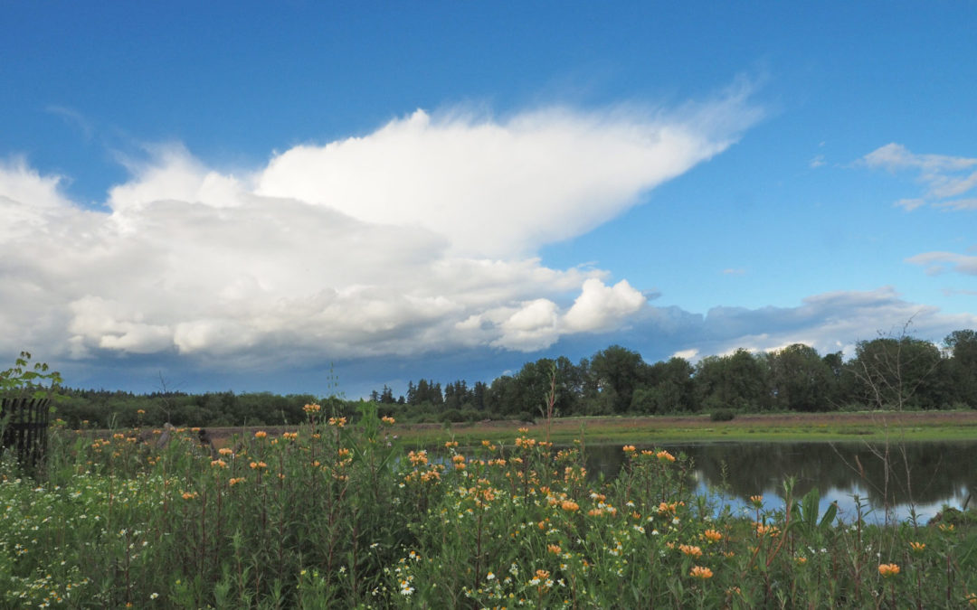
Jackson Bottom Wetlands, OR
Vicinity: 15 miles south of Portland Directions:From Portland take US-26 West to NW Jackson School Rd in Washington County. Take exit 59 from US-26 W Take exit 59 for Jackson School Road and turn left at the stop sign at the top of the off ramp and follow NW Jackson...
Sleeping Beauty, WA
Vicinity: 63 miles northeast of Portland in the Gifford Pinchot National Forest Directions:From Portland take I-84 east to Hood River. Take Exit 64 for Highway 35, White Salmon, and Government Camp. At the traffic light turn left on Button Bridge Road for Bingen and...
Clackamas River Trail, OR
Notice: 12/28/2021 - This trail is closed due to forest fires. Vicinity Location:The trailhead is about 50 miles southeast of Portland, Oregon in the Mt. Hood National Forest. Directions: From Portland via Estacada: From Portland take I-84 east to I-205 south. Drive...
Powell Butte, OR
Vicinity: About 10 miles southeast of Portland. Directions:From Portland, take I-84 east to I-205 south. Take exit 19 for Division Street and turn left at the traffic light (you can’t turn left on Powell). Take SE Division to SE 136th Ave and turn right. Turn...
Lewisville Park, WA
Directions:From Portland take I-84 East then take exit 8 to merge onto I-205 North towards Seattle. Drive 8.4 miles on I-205 North over the Columbia River into Washington and take exit 38-B to merge onto SR-500 E. SR-500 curves and continues on NE 117th...
Fivemile Butte Lookout, OR
Vicinity: 80 miles east of Portland in the Mt. Hood National Forest. Take I-84 from Portland for about 80 miles to the Dalles. Take exit 87 for Hwy 197 towards Dufur. Drive about 12.4 miles to Dufur and turn right onto Heinrich St. Drive about 0.6 mile and turn left...
Cook Hill, WA
Vicinity Location: The trailhead is 51 miles east of Portland, Oregon in the Gifford Pinchot National Forest. Directions:From Portland, Oregon, there are two ways to drive to the trailhead. If you have an extra 30 minutes then make your trip a loop drive. For the loop...
Duncan Creek, WA
Vicinity Location:About 30 miles northeast of Portland, OR in the Gifford Pinchot National Forest. Directions:From Portland take I-84 East and merge onto I-205 North towards Portland Airport/Vancouver. Drive past the Portland Airport Exit and cross the Columbia River....
Cottonwood Canyon – Hard Stone, OR
Vicinity Location:The trailhead is about 107 miles east of Portland, Oregon. Directions:From Portland, take I-84 E to exit 97. Take OR-206 E and drive for about 30 miles to Cottonwood Canyon State Park. Turn right just before the John Day River and drive down to the...
Cottonwood Canyon – Pinnacles, OR
Note: The Pinnacles trail is closed at the 3 mile point from February 1st to August 31st to protect Golden Eagle nesting. The trail could open early if the nesting fails or the hatchlings fledge early. Golden Eagles fall under the Bald and Golden Eagle Protection Act...
Hunchback Mountain, OR
Vicinity Location:The trailhead is about 38 miles southeast of Portland, Oregon in the Mt. Hood National Forest. Directions: From Portland take I-84 East to the Wood Village, exit (16A). Head south and turn left onto NE Burnside Rd. Heading East, Burnside will merge...
Soda Peaks Lake, WA
Vicinity Location:The trailhead is about 42 miles northeast of Portland, Oregon in the Gifford Pinchot National Forest. Directions:From Portland, Oregon, there are two ways to drive to the trailhead. If you have an extra 30 minutes then make your trip a loop drive....
High Prairie, OR
Note: The trailhead becomes snowbound because the road is not plowed. Vicinity Location:The trailhead is about 57 miles east of Portland, Oregon in the Mt. Hood National Forest. Directions:From Portland, take I-84 east for about 55 miles and take exit 64 in Hood River...
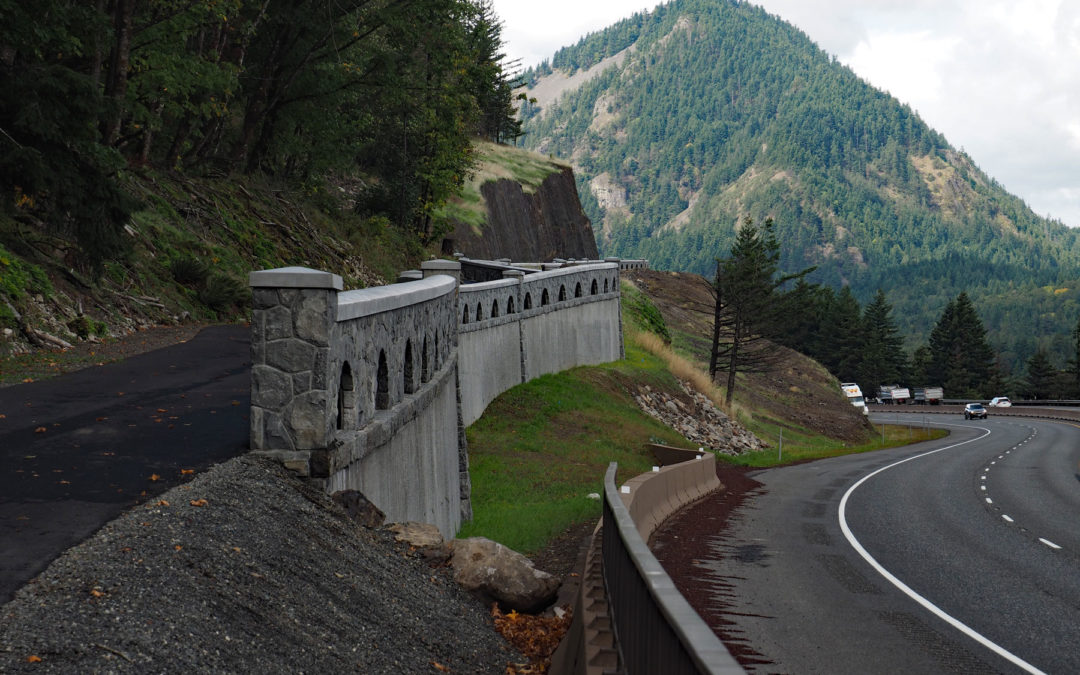
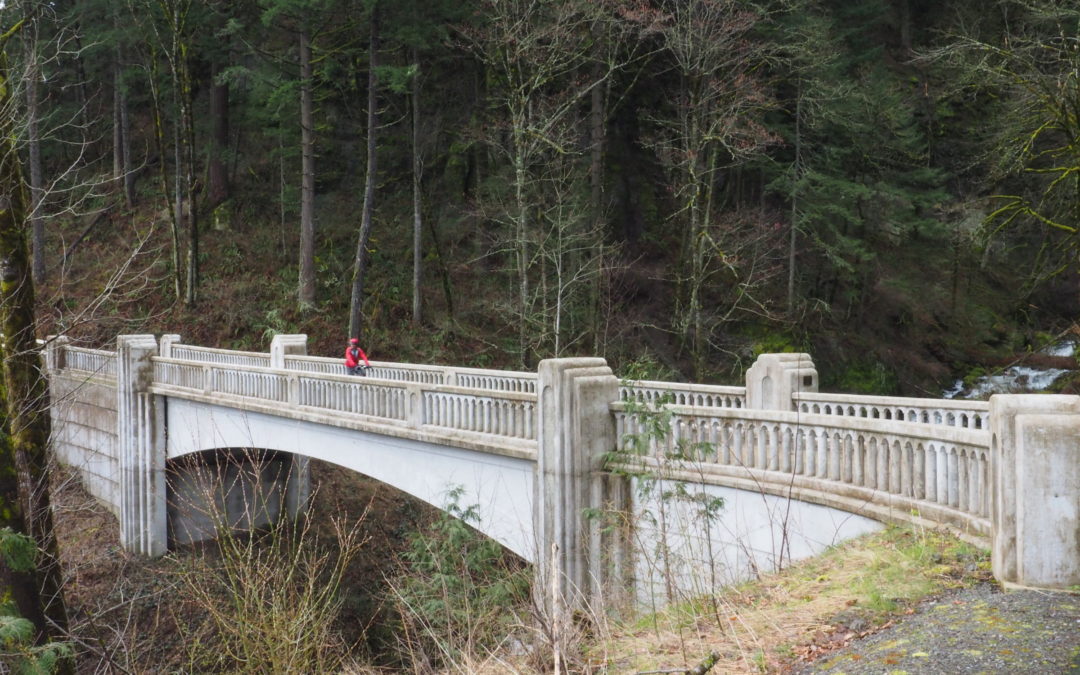
Historic Columbia River Highway State Trail Wyeth – Viento, OR
Vicinity Location:About 35 miles east of Portland, OR in the Columbia River Gorge National Scenic Area. Directions:From Portland, Oregon, take I-84 east to the Wyeth exit, turn right at the bottom of the off ramp, in about 50 feet turn right again onto Herman Creek...
Goat Rocks – White Pass Route, WA
Jeremiah, Sean and I backpacked for 5 days before and during the Labor Day holiday. I'll update this review soon. ItineraryMileageCamp ElevationAscentDescentNotesDay 1 - Potato Hill - Coleman Weedpatch -Finished at 5:15 pm12.01,6001,285Parked at the PCT. Trailhead...
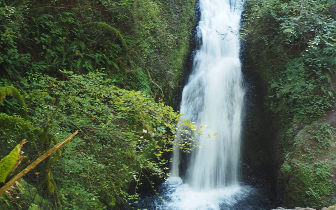
Bridal Veil Falls, OR
Vicinity Location: The trailhead is about 30 miles east of Portland, Oregon in the Columbia River Gorge National Scenic Area. Directions: From Portland, take I-84 east to the Historic Highway cutoff, Bridal Veil exit # 28. From the freeway, drive 0.5 miles and take...
Lake George – Gobbler’s Knob, WA
Hike and bike to a fire lookout.
Serene Lake Loop, OR
Hike past several lovely lakes in the Roaring River Wilderness.
Bachelor Mountain, OR
Vicinity Location: The trailhead is about 70 miles southeast of Portland, Oregon in the Willamette National Forest. Directions:From Portland:Drive to Marion Forks and turn right on to FR1168 for 2.3 miles. The turnoff is just before the sign for Coffin Mountain Trail...
Coffin Mountain, OR
Vicinity Location:The trailhead is about 70 miles southeast of Portland, Oregon in the Willamette National Forest. Directions: From Portland, drive about 45 miles on I-5 south to Salem. Take exit 253 for OR-22 East towards Detroit Lake/Bend. Drive about 69 miles on...
Owl Point, OR
Vicinity Location: The trailhead is about 46 miles east of Portland, Oregon in the Mt. Hood National Forest. Directions: From Portland take I-84 East to the Wood Village, exit (16A). Head south and turn left onto NE Burnside Rd. Heading East, Burnside will merge into...
Cowiche Canyon, WA
Vicinity Location: The trailhead is about 130 miles northeast of Portland, Oregon. Driving Directions: From Portland drive east on I-84 and drive about 100 miles east. Take exit 104 for Hwy 97 and drive about 93 miles to Yakima, WA. Hwy 97 will turn into I-82 N....
Horsetail Falls to Larch Mountain
Review: 6/18/2004 On a beautiful sunny day I drove to the Horsetail Falls trailhead in the Columbia River Gorge. It is in the Columbia River Gorge Scenic Area so you don’t need a Forest Pass to park. The easiest way to get to the trailhead is go East from Portland to...
Weldon Wagon Trail, WA
Vicinity Location: The trailhead is about 62 miles east of Portland, Oregon. Directions:From Portland, OR, take I-84 east to exit 64 at Hood River. Pay the $3.50 toll, cross the Columbia River, and turn left onto WA-14 West towards Stevenson and Vancouver and...
Salmon-Morgan Creeks, WA
Vicinity Location: The trailhead is about 17.5 miles northeast of Portland, Oregon. Directions: From Portland take I-205 north past Vancouver, WA.Drive on I-205 North and take exit 32 towards Battle Ground, keeping to the right. In 0.3 mile turn right onto NE...
Paradise Point State Park, WA
Vicinity Location: The trailhead is about 25 miles north of Portland, Oregon. Directions: From Portland take I-5 north past Vancouver, WA.Continue on I-5 N to exit 16. Ilani casino is at this exit and there is a sign for Paradise Point State Park. Exit the...
Bonney Butte Snowshoe, OR
Vicinity Location: The trailhead is about 52 miles southeast of Portland, Oregon in the Mt. Hood National Forest. Directions: From Portland take I-84 East to the Wood Village, exit (16A). Head south and turn left onto NE Burnside Rd. Heading East, Burnside...
Panorama Point Snowshoe, WA
NOTE: Road restrictions and closures can occur during the winter. The highway from Longmire to Paradise may not open until 9:30 a.m. or later. Inquire about the road opening time before you go. Call 360-569-2211 and press 1, 1, 2 at each prompt. You can usually see...
Elk Meadows – Meadows, OR
Vicinity Location: The trailhead is about 49 miles southeast of Portland, Oregon in the Mt. Hood National Forest. Directions: From Portland take I-84 East to the Wood Village, exit (16A). Head south and turn left onto NE Burnside Rd. Heading East, Burnside will merge...
Deschutes River Trail, OR
Vicinity Location: About 86 miles east of Portland, OR in the Columbia River Gorge. Directions: From Portland take I-84 east to exit 97. At the stop sign turn right and then after about 50 feet turn left. Drive to 2.8 miles crossing the Deschutes River and make a...
Trapper Creek Loop, WA
Vicinity Location: The trailhead is about 42 miles northeast of Portland, Oregon in the Gifford Pinchot National Forest. Directions: From Portland, Oregon, there are two ways to drive to the trailhead. If you have an extra 30 minutes then make your trip a loop drive....
Basin Lakes – Red Mountain, WA
Vicinity Location: About 50 miles northeast of Portland, OR. in the Indian Heaven Wilderness west of Mt. Adams and north of the Columbia River. Directions: From Portland follow I-84 East to Cascade Locks. About 40 miles from Portland, take exit 44 toward Cascade...
Panther Creek Falls, WA
Vicinity Location: The trailhead is about 47 miles northeast of Portland, Oregon in the Gifford Pinchot National Forest. Directions: From Portland, Oregon, there are two ways to drive to the trailhead. If you have an extra 30 minutes then make your trip a loop drive....
Timberline Trail Clockwise, OR
Notice: 5/14/2023 - Hiking between the Yocum Ridge Trail and the Muddy Fork has hundreds of trees down and sections of tread missing because of the September 2020 windstorm. It will probably take another year to repair the damages. Check the USFS for Timberline trail...
White River – Boy Scout Ridge, OR
Vicinity Location:The trailhead is about 50 miles southeast of Portland, Oregon in the Mt. Hood National Forest. Directions: From Portland take I-84 East to the Wood Village, exit (16A). Head south and turn left onto NE Burnside Rd. Heading East, Burnside will...
Indian Heaven, WA
Vicinity Location: About 56 miles northeast of Portland, OR. in the Indian Heaven Wilderness west of Mt. Adams and north of the Columbia River. Directions: There are other ways to get to the trailhead but I like this route because it is paved almost all of the way....
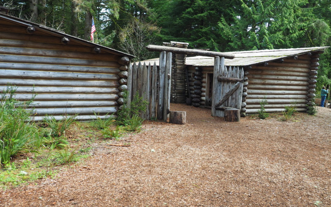
Fort to Sea, OR
Vicinity Location: The trailhead is 72 miles northwest of Portland, OR Directions: To Ft. Clatsop: From Portland: Take Highway 26 West to Seaside. Go north on Highway 101 through Seaside. Turn right at the stop light on SE Ensign Lane. Continue to drive about one...
Blue Lake – Loowit, WA
Vicinity Location: The trailhead is about 49 miles northeast of Portland, Oregon in the Mt. St. Helens National Monument. Directions: From Seattle take I-5 south and exit I-5 at exit 21 to State Route 503 at Woodland, WA. Drive 26.5 miles, passing through through...
Silver Star South Snowshoe, WA
Vicinity Location: The trailhead is about 24 miles northeast of Portland, Oregon in on Washington DNR land. Directions: From Portland take I-84 east for about 5 miles. Take exit 8 for Interstate 205 N towards Seattle/Portland Airport and drive about 5 miles, crossing...
Rho Ridge Trail, OR
Notice: 8/15/2021 - FR46 is closed at both ends due to the Riverside fire in 2020. Currently the only way to this trailhead is by using FR42 to connect to FR46. Vicinity Location: The trailhead is about 57 miles southeast of Portland, Oregon in the Mt. Hood National...
Cooper Spur Snowshoe, OR
Vicinity Location: The trailhead is about 53 miles east of Portland, Oregon in the Mt. Hood National Forest. Directions: From Portland take I-84 E for about 55 miles. Take Exit 64 for the Mount Hood Hwy, OR-35 towards White Salmon/Govt. Camp and at the bottom of the...
Elk Meadows Snowshoe, OR
Vicinity Location:About 50 miles east of Portland in the Mt. Hood National Forest. Note: The switchbacks up to Elk Meadows cross an avalanche slope. The avalanche slope is several acres in size and should not be crossed in periods of high avalanche danger. Use...
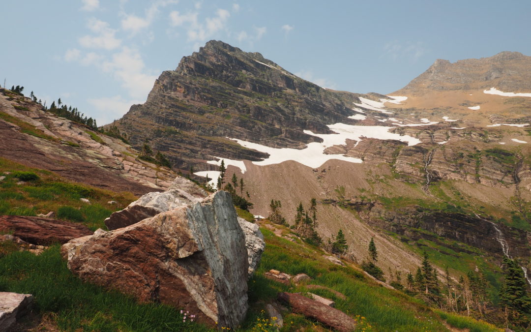
Continental Divide Trail – Glacier National Park, MT
Vicinity Location: About 675 miles northeast of Portland, OR in Glacier National Park. Directions: From Seattle, WA or Portland, OR – Take the Amtrak Empire Builder or drive to East Glacier Montana. National Park permit need to park or enter the park. No dogs are...
Grassy Knoll, WA
Note: The roads leading to the Grassy Knoll Trailhead are typically gated and closed between December 1st and the end of May. Vicinity Location: The trailhead is about 75 miles northeast of Portland, Oregon in the Gifford Pinchot National Forest. Directions: To the...
Loowit Trail, WA
Note: When the June Lake Trailhead is open for the season and you are planning to do an overnight trip on the Loowit Trail, please do not park in this parking lot as it can only accommodate a few vehicles. Instead park in the overflow lot at Marble Mountain and use...
Tumalo Falls, OR
Vicinity Location: About 117 miles southeast of Portland, OR in the Deschutes National Forest. Directions: This is not Tumalo State Park nor is it Tumalo, OR. From Portland, drive towards Bend, Oregon on the route of your choosing, passing through either Sisters or...
Wilson River Trail – Keenig Creek to Footbridge Trailhead, OR
Vicinity Location:The trailhead is about 45 miles West of Portland, OR, in the Tillamook State Forest.Directions:From Portland, take Highway 26 west for about 20 miles. Take the left exit for Hwy 6 towards Banks, Tillamook, and Forest Grove. This is also known as the...
Vic Atiyeh River Trail and Ferry Springs Trail, OR
Vicinity Location: About 86 miles east of Portland, OR in the Columbia River Gorge. Directions: From Portland take I-84 east to exit 97. At the stop sign turn right and then after about 50 feet turn left. Drive to 2.8 miles crossing the Deschutes River and make a...
Historic Columbia River Highway State Trail John Yeon – Cascade Locks, OR
Vicinity Location:About 35 miles east of Portland, OR in the Columbia River Gorge National Scenic Area. Directions:From Portland, Oregon, take I-84 east for about 35 miles on I-84 East and take exit 35 towards Historic Hwy 30 and Anisworth/State Park. Go about 0.1...
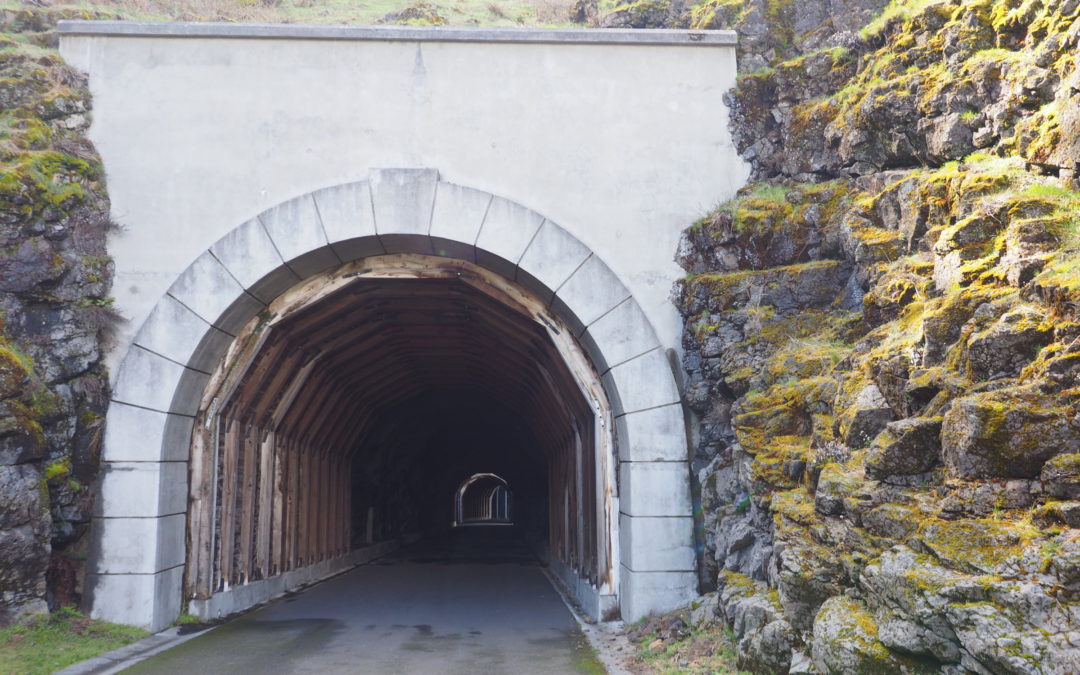
Historic Columbia River Highway State Trail – Twin Tunnels Trail, OR
Vicinity Location:About 59 miles east of Portland, OR in the Columbia River Gorge National Scenic Area. Directions:Take I-84 east for about 55 miles and take exit 64 in Hood River for Hwy 35. Drive to the traffic signal and turn right onto Button Bridge Road/Hwy 35....
Dalles Riverfront Trail, OR
Note: The road is gated and the trail closed the seasonally from Riverfront Park east to the Dalles Dam. The seasonal closure runs from November 1 to Memorial Day Weekend. Vicinity Location: The trailhead is about 80 miles east of Portland, Oregon in the Columbia...
Johnston Ridge – Coldwater Peak, WA
Notice: 6/1/2023 - This trail is closed due to a landslide and road washout on SR504 - Spirit Lake Memorial Highway remains closed to all travelers at milepost 43 near the Science and Learning Center. Vicinity Location: The trailhead is about 57 miles northeast of...
Hummocks – Boundary Trail, WA
Notice: 6/17/2023 - This trail is now open. SR504 - Spirit Lake Memorial Highway remains closed to all travelers at milepost 43 near the Science and Learning Center. Vicinity Location: The trailhead is about 42 miles north of Portland, Oregon in the Mt. St. Helens...
White River Ridge, OR
Vicinity Location: The trailhead is about 50 miles southeast of Portland, Oregon in the Mt. Hood National Forest. Directions: From Portland take I-84 East to the Wood Village, exit (16A). Head south and turn left onto NE Burnside Rd. Heading East, Burnside will merge...
Maxwell Butte, OR
Vicinity Location: The trailhead is about 80 miles southeast of Portland, Oregon in the Willamette National Forest. Directions: From Portland, take I-5 south for about 46 miles, driving through Salem. Take exit 253 for OR-22 E toward Detroit Lake/Bend and drive 0.3...
Frog Lake Buttes, OR
Vicinity Location: The trailhead is about 53 miles southeast of Portland, Oregon in the Mt. Hood National Forest. Directions: From Portland take I-84 East to the Wood Village, exit (16A). Head south and turn left onto NE Burnside Rd. Heading East, Burnside will merge...
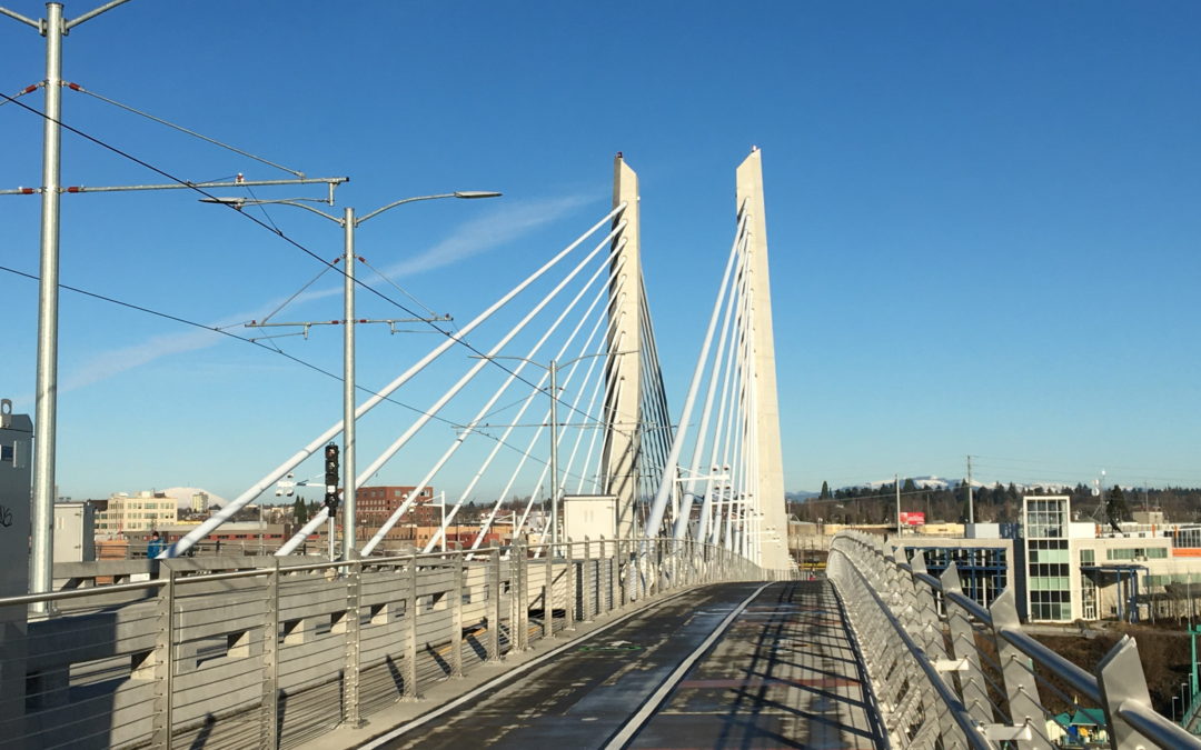
Tilikum Crossing, OR
Directions: Mass Transit – Using the Portland MAX, take Orange line to the MAX Stop OMSI/SE Water Stop ID 13727 Westbound Stop ID 13712 Eastbound Driving and Parking - Weekdays: Nearly all weekday parking in the area requires a payment to park. On weekdays, parking...
Pocket Creek, OR
Vicinity Location: The trailhead is about 48 miles southeast of Portland, Oregon in the Mt. Hood National Forest. Directions:From Portland take I-84 East to the Wood Village, exit (16A). Head south and turn left onto NE Burnside Rd. Heading East, Burnside will merge...
Siouxon Peak, WA
Notice: 7/5/2023 - This trail is once again closed due to a previous forest fire. Notice: 8/14/2021 - Because of the Big Hollow fire the traditional trailhead is closed. The Siouxon Creek trailhead is now 2 miles west and adds 4 miles to this hike. Much of this trail...
Trillium – Yellowjacket, OR
Vicinity Location: The trailhead is about 48 miles southeast of Portland, Oregon in the Mt. Hood National Forest. Directions: From Portland take I-84 East to the Wood Village, exit (16A). Head south and turn left onto NE Burnside Rd. Heading East, Burnside will merge...
Barrett Spur, OR
Hike up Vista Ridge to Barrett Spur
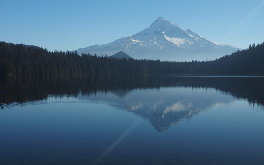
Lost Lake, OR
Vicinity Location: The trailhead is about 42 miles east of Portland, Oregon in the Mt. Hood National Forest. Directions: From Portland drive east on I-84 to Hood River for about 60 miles and take Exit 62. Tturn right at the stop sign onto Hwy 30 East, Cascade Ave for...
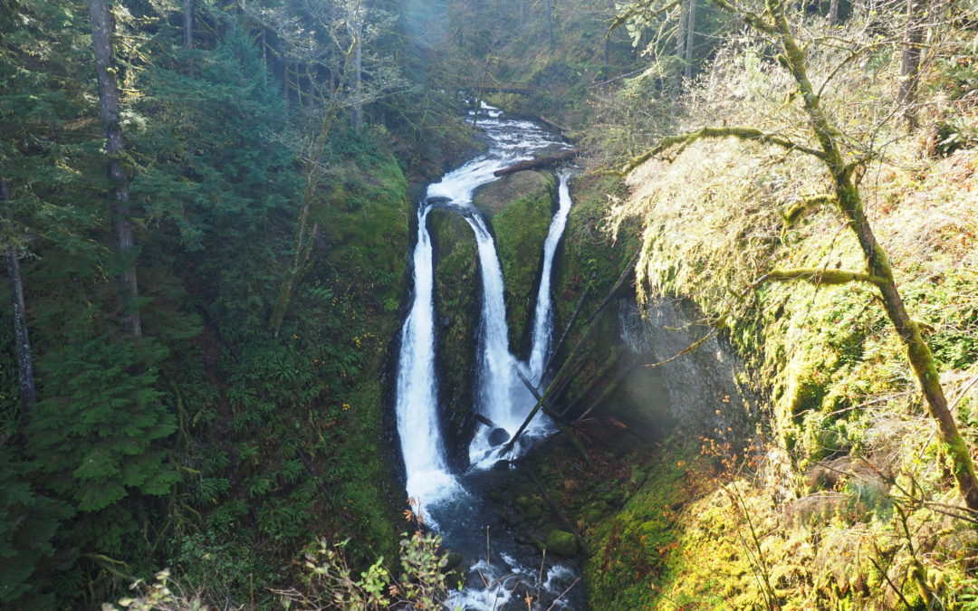
Oneonta – Franklin Ridge Loop, OR
Vicinity Location: The trailhead is about 30 miles east of Portland, Oregon in the Columbia Gorge National Scenic Area. Directions: From Portland take I-84 east for about 30 miles. Follow the signs for Multnomah Falls and take exit 31, which is a left exit, off I-84...
Larch Mountain Crater, OR
Note: Larch Mountain Road up to the Larch Mountain day use area and trailhead at MP 14.5 typically closes at mile 10 sometime in November and reopens sometime in May. Check the Multnomah County website to near those dates to find the current status of Larch Mountain...
Escure Ranch, WA
Vicinity Location: The trailhead is 210 miles southeast of Seattle, WA and northeast of Portland, OR Directions: Note that cell phone reception can be poor to non-existent all around this area. From Sprague, exit 245. Turn onto Highway 23, traveling south for 12.2...
Towell Falls, WA
Vicinity Location: The trailhead is 210 miles southeast of Seattle, WA and 245 northeast of Portland, OR Directions: Note that cell phone reception can be poor to non-existent all around this area. From Sprague, exit 245. Turn onto Highway 23, traveling south for 12.2...
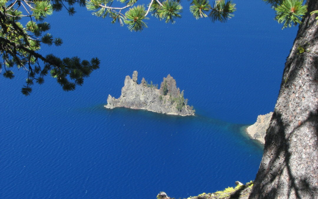
Garfield Peak, OR
Vicinity Location: The trailhead is 96 miles southeast of Eugene, OR in Crater Lake National Park. Directions: Drive on East Rim Road to the main parking area on the rim of Crater Lake and walk a short distance to Crater Lake Lodge. A National Park entry permit is...
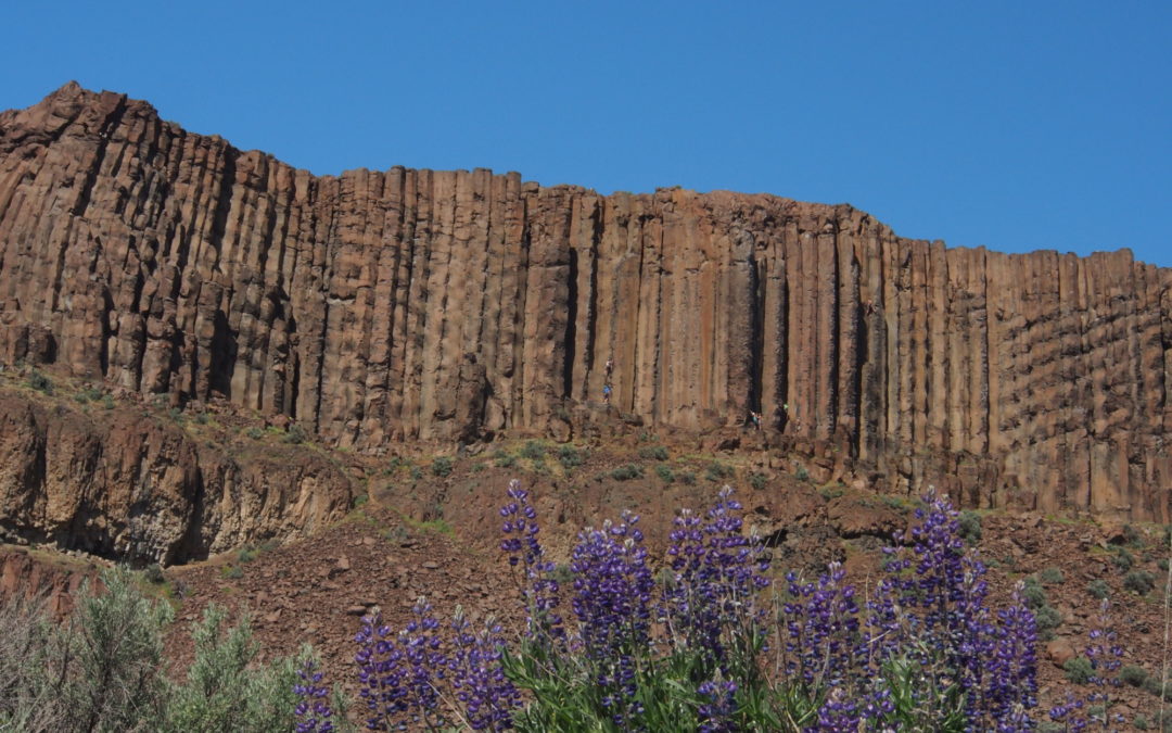
Frenchman Coulee, WA
Vicinity Location: The trailhead is about 160 miles northeast of Portland, Oregon and 112 miles southeast of Seattle near Vantage, WA. Directions: From Ellensburg, drive east on I-90 to exit 143, Silica Road and The Gorge Amphitheater. At the bottom of the ramp, turn...
Broken Top Loop, OR
Note: The road doesn't open until late May or early June. You have to call Deschutes National Forest in Bend at (541) 383-5300 for the road status. Vicinity Location: The trailhead is about 105 miles southeast of Portland, Oregon in the Deschutes...
Wilson River Trail – Jones Creek to Footbridge, OR
Vicinity Location: The trailhead is about 43 miles West of Portland, OR, in the Tillamook State Forest. Directions: From Portland, take Highway 26 west for about 20 miles. Take the left exit for Hwy 6 towards Banks, Tillamook, and Forest Grove. This is also known as...
Timberline Trail Counter Clockwise, OR
Notice: 5/14/2023 - Hiking between the Yocum Ridge Trail and the Muddy Fork has hundreds of trees down and sections of tread missing because of the September 2020 windstorm. It will probably take another year to repair the damages. Check the USFS for Timberline trail...
Alpine Lakes – Central Loop, WA
Vicinity Location: About 155 miles northeast of Portland, Oregon and 55 miles east of Seattle in the Okanogan-Wenatchee National Forest. Directions: From Portland drive north for about 235 miles to Cle Elum. From Seattle drive east about 80 miles to Cle Elum. From Cle...
Phelps Creek, WA
Vicinity Location: Central Washington in the Okanogan-Wenatchee National Forest Location: The trailhead is 64 miles east of Everett and 150 miles northeast of Portland. Directions from Portland: Avoid all the Seattle area traffic and take I-84 E for about 100 miles...
Ancient Lakes, WA
Note: There is an organized trail run here annually on the first or second weekend in April. Vicinity Location: Central Washington Location: The trailhead is 115 miles southeast of Seattle and 170 miles northeast of Portland. Directions: From Ellensburg, WA, follow...
Spray Park Loop, WA
Vicinity Location: Mt. Rainier National Park Location: The trailhead is 52 miles southeast of Seattle and 104 miles northeast of Portland. Directions: Drive I-5 N for about 130 miles, passing through Olympia. About 20 miles past Olympia, take Exit 127 and merge onto...
Chinook Trail, WA
Vicinity Location: About 20 miles northeast of Vancouver, WA in the Yacolt Burn State Forest and Gifford Pinchot National Forest. Directions: From Portland drive North on I-5 from Vancouver and take exit 11 then turn right and take highway 502 5.8 miles to Battle...
Timberline Trail – Paradise, OR
Notice: 10/6/2020 - Many blowdowns in the second mile from Hidden Lake junction to Zigzag Canyon overlook. Vicinity Location: The trailhead is about 49 miles southeast of Portland, Oregon in the Mt. Hood National Forest Directions: From Portland take I-84 East to the...
Middle Salmon River Trail, OR
Vicinity Location: About 40 miles southeast of Portland, OR in the Mt. Hood National Forest. Directions: From Portland, drive Highway 26 East about 42 miles through the community of Sandy to Welches, OR. Pass the stoplight at Welches and drive about .9 mile. Turn...
Tamanawas Falls, OR
Notice: 2/9/2026 - This trail is CLOSED due to multiple washouts in the mid-December storm. The waterfall can be accessed from Polallie Trailhead. Vicinity Location: About 54 miles east of Portland, OR in the Mt. Hood National Forest. Directions: From Portland, take...
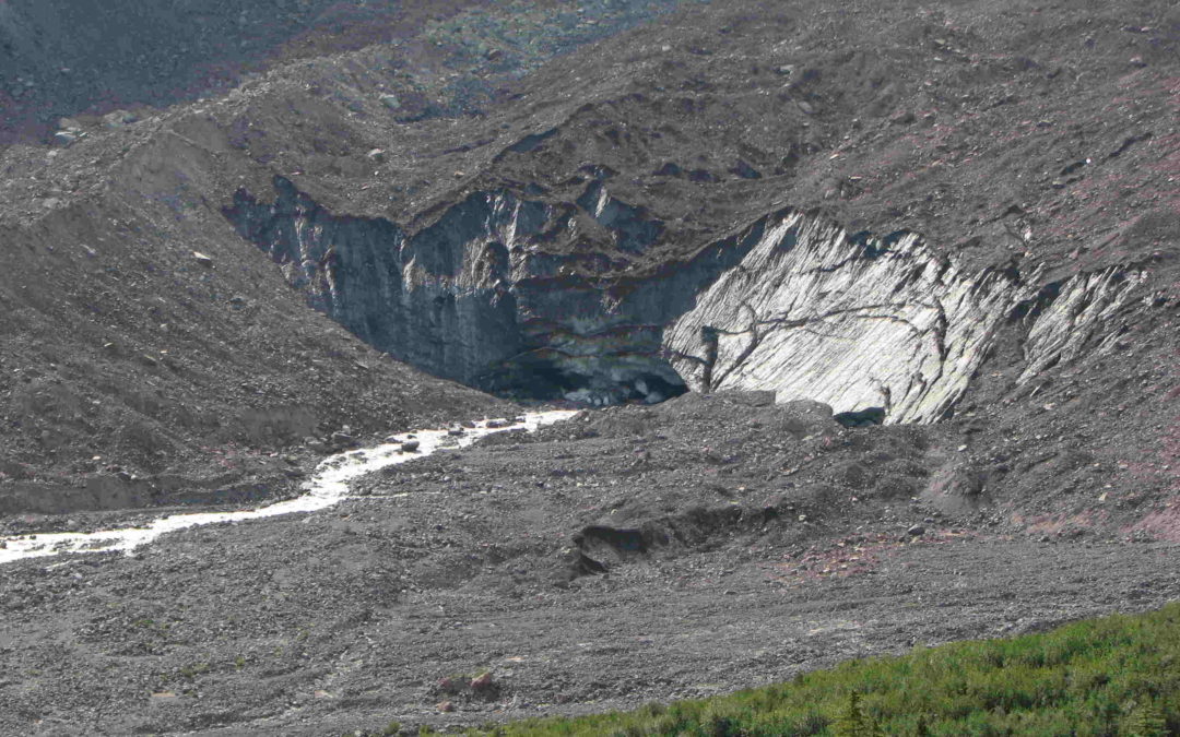
Emmons Moraine Trail, WA
Vicinity Location: About 60 miles southeast of Seattle, WA in Mt. Rainier National Park. Directions: From Seattle: Follow I-5 South for 25 miles and take exit 142A to merge onto WA Highway 18 East toward North Bend/Auburn. Drive 4.4 miles and take the Auburn Way/WA...
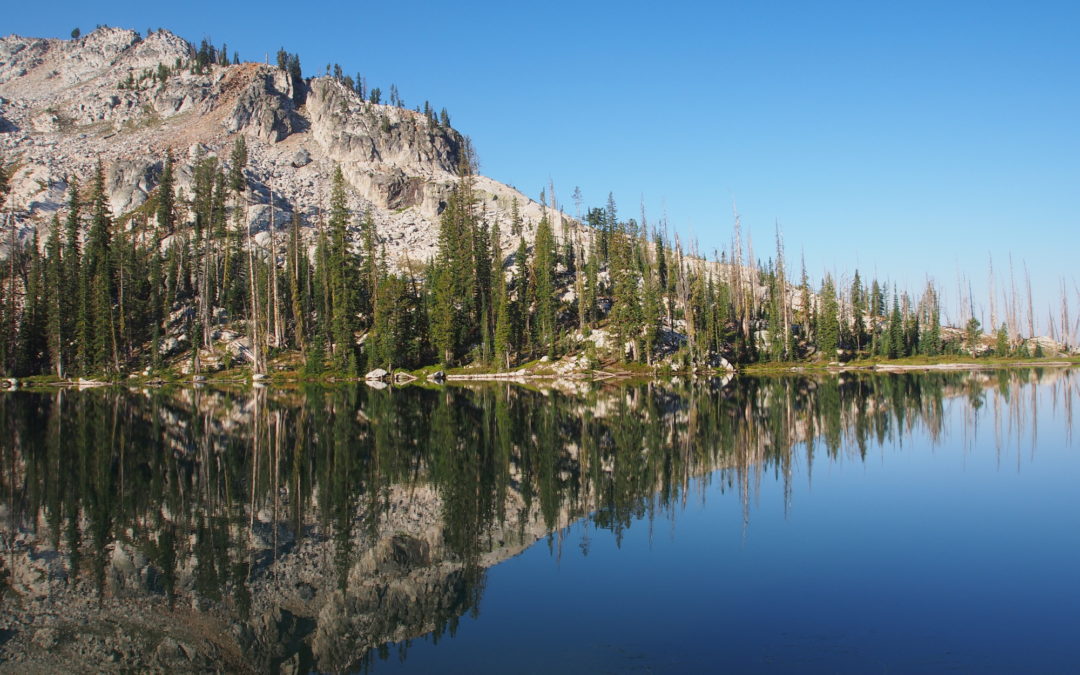
Queens River, ID
Backpack through charred forests and past pristine lakes in the Sawtooths.
Yocum Ridge, OR
Notice: 6/25/19 - A severe thunderstorm in August 2014 swelled streams on Mt. Hood and washed out the bridge over the Sandy River. One person on the bridge was swept away and died according to local news sources. This trail is not suitable for inexperienced hikers at...
East Zigzag Mountain, OR
Vicinity Location: 44 miles east of Portland in the Mt. Hood National Forest. Directions: From Portland take I-84 East to the Wood Village, exit (16A). Head south and turn left onto NE Burnside Rd. Heading East, Burnside will merge into Highway 26. Follow Hwy 26 for...
John Muir Trail
Notice: 5/23/2016 - Check for trail closures. See http://www.pcta.org/planning/during_trip/trail-closures.php for PCT updates. See https://www.nps.gov/yose/planyourvisit/conditions.htm for Yosemite NPS updates. Maps of our route - link Here is the...
Table Mountain, WA (From the north)
Vicinity Location:The trailhead is 33 miles northeast of Portland, OR in the Columbia River Gorge. Directions: Download Garmin .gpx file for gps route from Beacon Rock State Park and Highway 14. Text directions are sketchy. From Portland take I-205 North; drive past...
Sisters Loop – Pole Creek Trailhead
Vicinity Location: The Pole Creek Trailhead is about 83 miles Southeast of Salem OR, and about 102 miles Southeast of Portland, OR, in the Deschutes National Forest. Directions: Pole Creek Trailhead: From Sisters, Oregon, drive to the Southwest side of town and find...
Pacific Crest Trail – Little Crater Lake to Jefferson Park
Note 2/14/2023: During summer and fall a Central Cascades Wilderness Permit is required. The Central Cascades Wildernesses limited entry system began May 22, 2020 and brings day-use limits to 19 out of 79 trails and overnight limits to all trails in the Mt....
Ozette Triangle, WA
Unseasonably nice weather allowed this off-season trip to the Olympic Peninsula. The maxims for this trip are time and tide wait for no man and watch where you step. This is one of the best coastal backpacking trips in North America. Vicinity Location: About 205 miles...
Alsea Falls, OR
Vicinity Location: Bureau of Land Management Alsea Falls Recreation Area Location: The trailhead is 20 miles southwest of Corvallis, OR near the community Alsea. Directions: From Corvallis, drive west on OR-34 W, Alsea Hwy for about 23 miles to Alsea. From the town of...
Marys Peak Trail, OR
Vicinity Location: Siuslaw National Forest Location: The trailhead is 24 miles west of Corvallis, OR near the community Philomath. Directions: Take a pleasant drive west from Corvallis on Highway 20 for about 6 miles and turn left onto Highway 34 and drive southwest....
Kamiak Butte Pine Ridge Trail, WA
Vicinity Location: The trailhead is about 250 miles east of Seattle and about 280 miles northeast of Portland, OR. Directions: From Portland or Seattle drive to Colfax, WA. From Colfax, drive partway through Palouse and take a left onto State Highway 272 (Palouse...
Cast Lake Trail, OR
A long dayhike to great views of mountain lakes and Mt. Hood.
Sun Notch Trail, OR
Vicinity Location: Crater Lake National Park Location: The trailhead is 95 miles southeast of Eugene, OR in Crater Lake National Park. Directions: Drive from Park Headquarters generally east on East Rim Drive for 4.4 miles. The trailhead is at a small parking area on...
Plaikni Falls, OR
An easy hike on a wide trail to one of the few waterfalls in Crater Lake National Park
McKenzie River, OR
A trail through old growth forests along a beautiful river.
Timberline Trail – Timberline Lodge to Ramona Falls, OR
A long day hike on Mt. Hood.
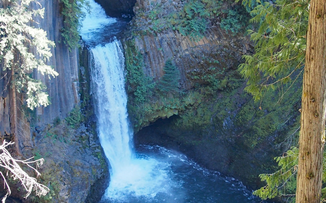
Toketee Falls, OR
A Short hike to a pretty overlook.
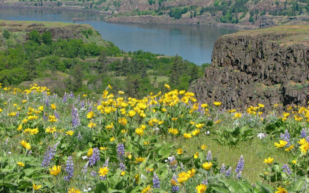
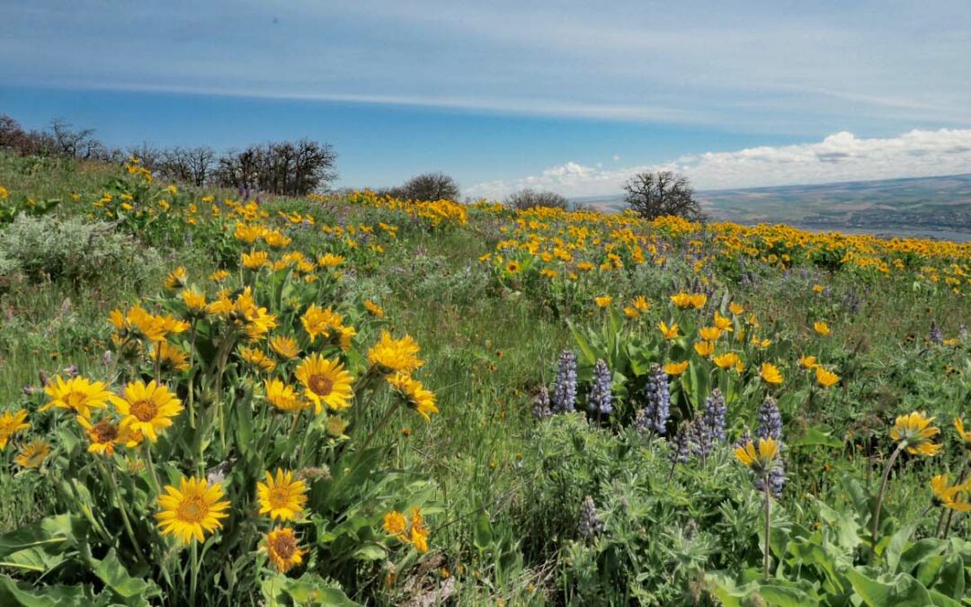
Tom McCall Nature Preserve, OR
A fantastic flower garden in spring, a brown landscape in the fall.
Trail of the Shadows, WA
An easy hike or snowshoe near to see historic springs and cabin near Longmire Inn.
Trillium Lake, OR
An easy loop to snowshoe or ski.
Triple C Trail, OR
A short, easy hike with limited mountain views. Combine this with another hike or picnic.
Triple Falls, OR
Hike past 3 large waterfalls and a few small waterfalls. Triple Falls is the third one.
Tryon Creek, OR
Walk through a lush forest near Portland.
Twin Firs Trail, WA
This trail is safe for small children logs are slippery and have sharp points from broken branches.

Twin Lakes, OR
Snowshoe to a spectacular view of Mt. Hood and to Twin Lakes.
Umtanum Creek, WA
Travel along a pleasant stream past basalt cliffs and spring wildflowers.
University Falls Trail, OR
This is an easy waterfall hike and great for kids and dogs but there are no mountain views.
Van Trump Park and Comet Falls Trail, WA
This is one of the most popular trails in the park. Be sure to start this hike early to avoid the crowds and see more wildlife.
Wahclella Falls, OR
An easy hike to a very scenic thundering waterfall.
Wahtum Lake, Tomlike Mountain, OR
On a clear day you can see five mountain peaks from the summits.
Wauna Viewpoint, OR
From here you have nice views of the Columbia River Gorge, Bonneville Dam, and the locks.
Whipple Creek Trail, WA
Pleasant hiking on graveled trails through forest and meadow.
Whittier Ridge Trail, WA
An awesome hike on a good day.
Wilson River Trail – Elk Creek to Kings Mtn. Trailhead, OR
Hike up to great views of the Coast Range on this strenuous loop.
Wind Mountain, WA
This is a good low-elevation hike for the winter months. Inexperienced hikers need to be aware of steep slopes.
Wonderland Trail Information spreadsheet (UPDATED)
Wonderland Trail Mileage
Wonderland Trail to Indian Bar
A beautiful hike up forested switchbacks and across mountain ridges.
Wyeth to Rainy Lake, OR
Plenty of elevation gain to lakes and great views.
Wygant Peak, OR
A woodsy walk not recommended for small children or small dogs.
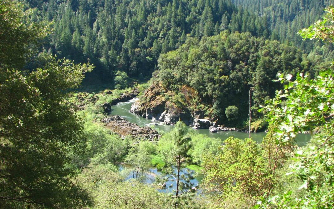
Rogue River, OR
A classic Oregon backpacking trip along the Rogue River.
Ruckel Ridge / Ruckel Creek, OR
This trail is for advanced hikers because of the cliffs, knife-edge trail sections, and poison oak.
Saddle Mountain, OR
One of the most beautiful hikes in Northwestern Oregon on a sunny day.
Sag Ponds, OR
A quiet hike through the forest and over streams near Portland, OR.
Salmon Butte, OR
A steady, gentle ascent to great views.
Salmon Creek Trail, WA
A low elevation walk through open meadows, past ponds and wetlands.