
by Steve Jones | Mar 5, 2026 | Dayhikes |
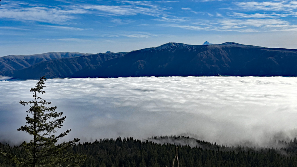
Vicinity Location: The trailhead is about 26 miles northeast of Portland, Oregon in the Yacolt Burn State Forest in Clark County. Directions:From Portland: The drive takes about 90 minutes from downtown Portland. Take I-205 North into Washington and drive about 4...
by Steve Jones | Feb 20, 2026 | Dayhikes, Hiking |
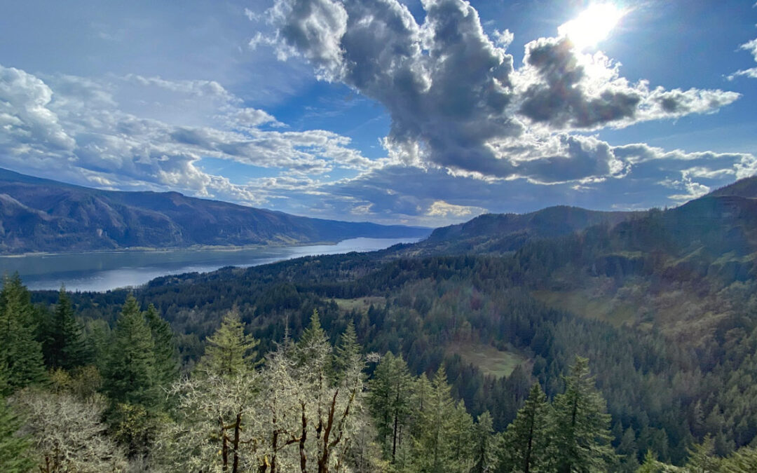
Vicinity Location:The trailhead is about 37 miles northeast of Portland, Oregon in the Gifford Pinchot National Forest. Directions:From Portland take I-84 to Cascade Locks. Take exit 44 and then the first right turn, just after you go under the Bridge of the Gods. Pay...
by Steve Jones | Feb 10, 2026 | Dayhikes |
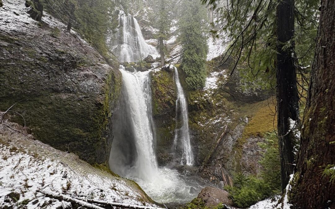
Vicinity Location:About 30 miles northeast of Portland, OR in the Gifford Pinchot National Forest. Directions:From Portland take I-84 East and merge onto I-205 North towards Portland Airport/Vancouver. Drive past the Portland Airport Exit and cross the Columbia River....
by Steve Jones | Feb 10, 2026 | Dayhikes |
Vicinity Location:About 30 miles northeast of Portland, OR in the Gifford Pinchot National Forest. Directions:From Portland take I-84 East and merge onto I-205 North towards Portland Airport/Vancouver. Drive past the Portland Airport Exit and cross the Columbia River....
by Steve Jones | Feb 9, 2026 | Dayhikes |
Vicinity Location:About 30 miles northeast of Portland, OR in the Gifford Pinchot National Forest. Directions:From Portland take I-84 East and merge onto I-205 North towards Portland Airport/Vancouver. Drive past the Portland Airport Exit and cross the Columbia River....
Recent Comments