

There is limited parking at the trailhead. No restrooms and no permit needed at the trailhead.
Trail Maps:
Topo Map-future, Download Garmin .gpx file, Open Garmin .gpx file
Trail: Castle Canyon #765
Review: January 7, 2025
About a 0.1 mile up the trail you reach the Mount Hood Wilderness.
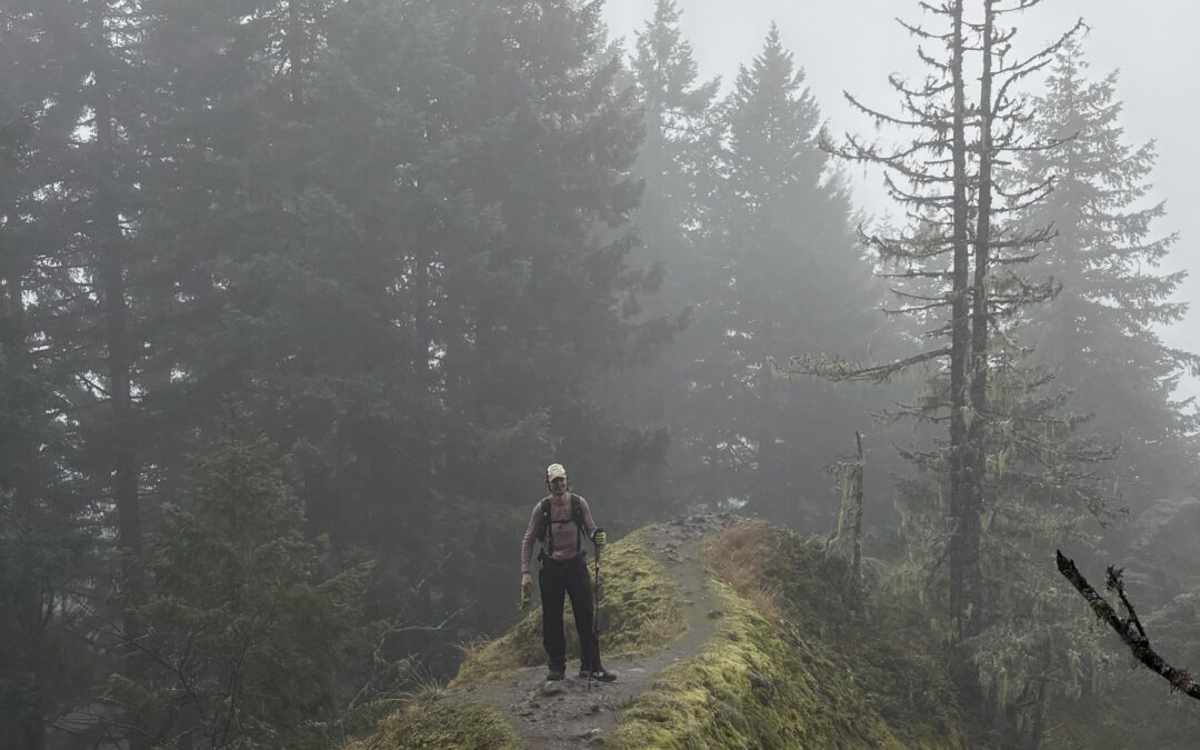
The trail climbs at a moderately steep grade to begin with then starts switch backing steeply up the ridge. After about a little over half a mile, you gain the region and pretty much stay on the ridgeline, which appears to be some sort of volcanic dike. There could be some views on a sunny day, but today was too cloudy to see anything but fog
The forest is a mixture hemlocks and Douglas firs and maple trees. As you get a little higher, you get into a rhododendron zone and some of them look like they have a lot of flowers in the spring time.
Eventually, you climb up and reach the lava dike once again. From here you can see that there’s some nice views on a sunny day and you can hear some creeks rushing down the mountain side.
Enjoy the photos!!
Gallery Pics
Switchback Steve
Recent Comments