by Steve Jones | Oct 9, 2023 | Dayhikes, Hiking |
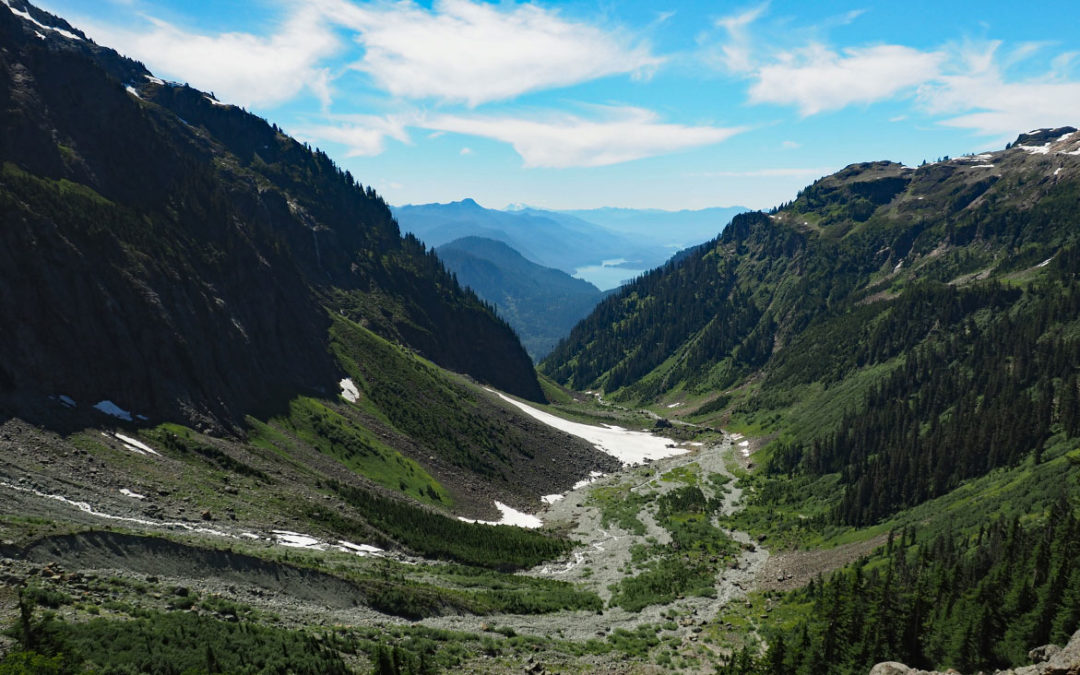
Vicinity Location:About 240 miles north of Portland, OR and about 135 miles northeast of Seattle in the Mt. Baker-Snoqualmie National Forest. Directions: From Portland: Drive about 300 miles and 5.5 to 6.5 hours through Seattle.From Seattle: Drive on I-5 for about 240...
by Steve Jones | Oct 8, 2023 | Dayhikes, Hikes with Kids, Hiking |
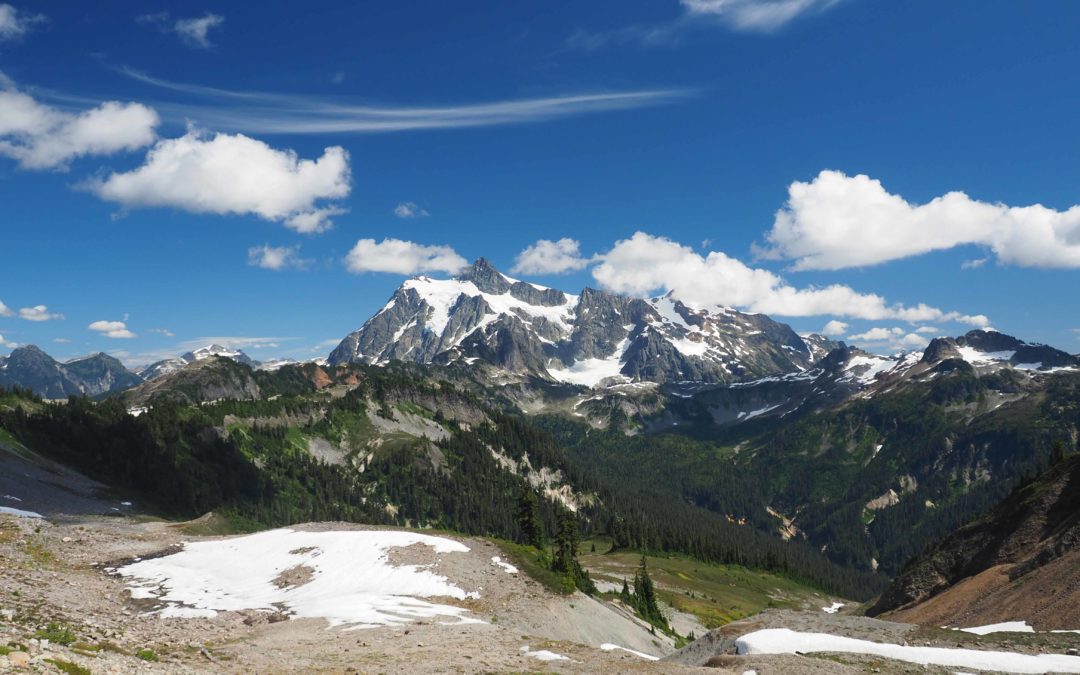
Vicinity Location:About 240 miles north of Portland, OR and about 135 miles northeast of Seattle in the Mt. Baker-Snoqualmie National Forest. Directions: From Portland: Drive about 300 miles and 5.5 to 6.5 hours through Seattle.From Seattle: Drive on I-5 for about 240...
by Steve Jones | Oct 7, 2023 | Dayhikes, Hiking |
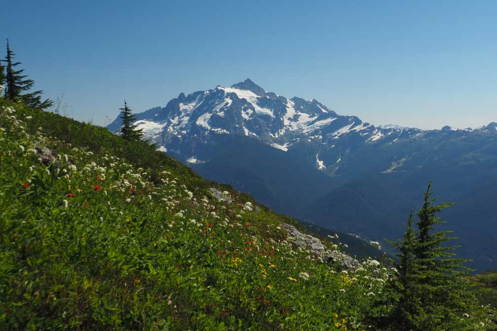
Vicinity Location:About 240 miles north of Portland, OR and about 135 miles northeast of Seattle in the Mt. Baker Wilderness. Directions:From Portland: Drive about 300 miles and 5.5 to 6.5 hours through Seattle.From Seattle: Drive on I-5 for about 240 miles and take...
by Steve Jones | Aug 27, 2023 | Dayhikes, Hiking |
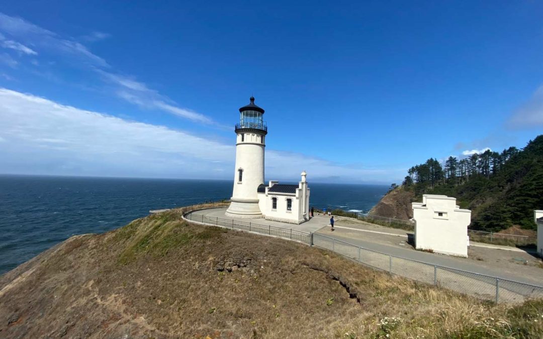
Vicinity Location:About 100 miles northwest of Portland, OR in Cape Disappointment State Park. Directions:From Portland: drive I-5 north for about 43 miles and take exit 36 toward WA-432 W. Drive 4 miles and turn left onto Oregon Way/Hwy 433 and head towards Oregon...
by Steve Jones | Aug 27, 2023 | Dayhikes, Easy Hikes, Hikes with Kids, Hiking |
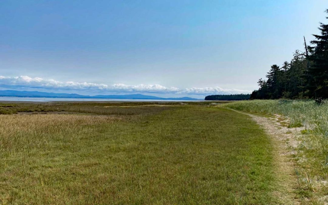
Vicinity Location:About 85 miles northwest of Portland, OR in Leadbetter Point State Park Park. Directions:From Portland: drive I-5 north for about 43 miles and take exit 36 toward WA-432 W. Drive 4 miles and turn left onto Oregon Way/Hwy 433 and head towards Oregon...

by Steve Jones | Mar 26, 2023 | Dayhikes, Hiking
Vicinity Location: The trailhead is about 26 miles northeast of Portland, Oregon in Clark County. Directions:From Portland: The drive takes about 90 minutes from downtown Portland. Take I-205 North into Washington and drive about 4 miles and take Exit 30. The...
Recent Comments