

Vicinity Location:
About 30 miles northeast of Portland, OR in the Gifford Pinchot National Forest.
Directions: From Portland this is about an hour drive.
There are no bathrooms at the trailhead.
Length and Elevation:
4.7 miles roundtrip. Elevation at the trailhead is 1,476 feet. Total gain is 1,750 feet and loss is 1,750 feet. Highest elevation is 2,949 feet and the lowest elevation 1,411 feet.
Trail Maps:
Topo Map, Download Garmin .gpx file, Open Garmin .gpx file
Trails: Summit Springs Trail
Review: September 14, 2024
This trail is also known as the Snass Creek Trail.
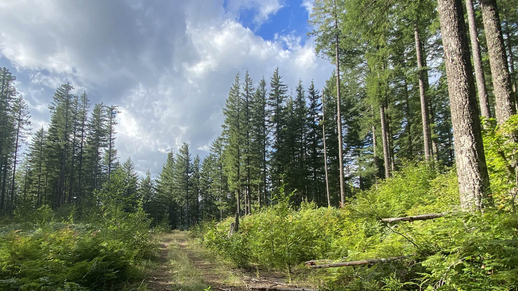
The trail begins by dropping moderately steeply off the forest Road down to crossing a small stream. The foliage here or the underground mix of Oregon, great sword ferns, Huckleberry, salmon berries, maiden hair fern, and Maple.
The trees are a mix of alders along the creek and older second growth hemlock trees.
Just a few minutes down the trail you come to the easy step across crossing of Snass Creek. This is the low point of the trail the path is a pretty steady climb from here.
Climbing up through the forest, you can see by the condition of the trail that it is popular with mountain bikes.
The trail climbs steeply in some sections and mostly level in other. In about 0.8 miles cross an old logging road that is still used by four wheelers. The logging road crosses Snass Creek on a culvert, then continues on through the forest. The salmonberries and other brush all but hide the creek and it would not be easy go get water from here.
After climbing for about 1.8 miles you reach the junction for the Summit Cutoff Trail. Turn left here and walk along a nearly flat section of Trail for a while. This trail also seems to be well brushed and the trail is very easy to follow.
Continue up through the forest to the junction of the Summit Springs Trail. From here you can either continue up to the forest Road or you can take the steeper trail back down to rejoin the Snass Creek Trail.
Going downhill the trail drops really steeply straight down the fall line for a while before leveling out a bit then dropping once again then leveling out and rejoining the main trail. You really don’t want to go up this trail and you probably don’t want to come down this trail if it is muddy.
Once back on the main trail descend back through the thick forest.
Coming back down to the stream it looks like it would be a challenge to cross it and stay dry in the winter time. There is an old unused log across the creek just upstream that perhaps could be used if the creek is ever too deep.
Crossing the creek, you have to climb up out of the valley back to the trailhead.
As you climb, the sounds of Snass Creek gurgling down the valley almost echo in the little canyon.
Enjoy the photos!!
Gallery Pics
Switchback Steve

Recent Comments