

Vicinity Location:
The trailhead is about 50 miles east of Portland, Oregon in the Mt. Hood National Forest.
Directions:
From Portland take I-84 East to the Wood Village, exit (16A).
Head south and turn left onto NE Burnside Rd. Heading East, Burnside will merge into Highway 26. Follow Hwy 26 for about 41 miles past Government Camp and exit on Highway 35 to Hood River. Follow Hwy 35 for about 2.7 miles. Turn right into the Barlow Pass Snow Park.
A Snow Park permit is required during the snow season. No permit is needed in the summer months.
No outhouses are available at the parking lot. The closest bathrooms are at White River West parking lot or Government Camp.
National Weather Service Snow Level forecast: Northern Oregon Cascades
Length and Elevation:
4.4 Miles roundtrip, Elevation gain 640 feet and loss 640 feet. Total elevation gain and loss 1,280 Feet.
Elevation at the trailhead is 4,150 feet. Highest point is at 4,150 feet. Lowest elevation is 3,680 feet.
Trail:
Barlow Road, Pioneer Woman’s Grave, Grave’s Trail
There is at least one geocache along this trail at: N 45° 16.912 W 121° 42.014. Info at Geocaching.com
Trail Maps:
Topo Map, Download Garmin .gpx file
Review: February 19th, 2007, February 1, 2013, December 30, 2018
This trail typically has refrozen snow because of the low elevation. It is fine for snowshoeing but not usually ideal for cross-country skiing.
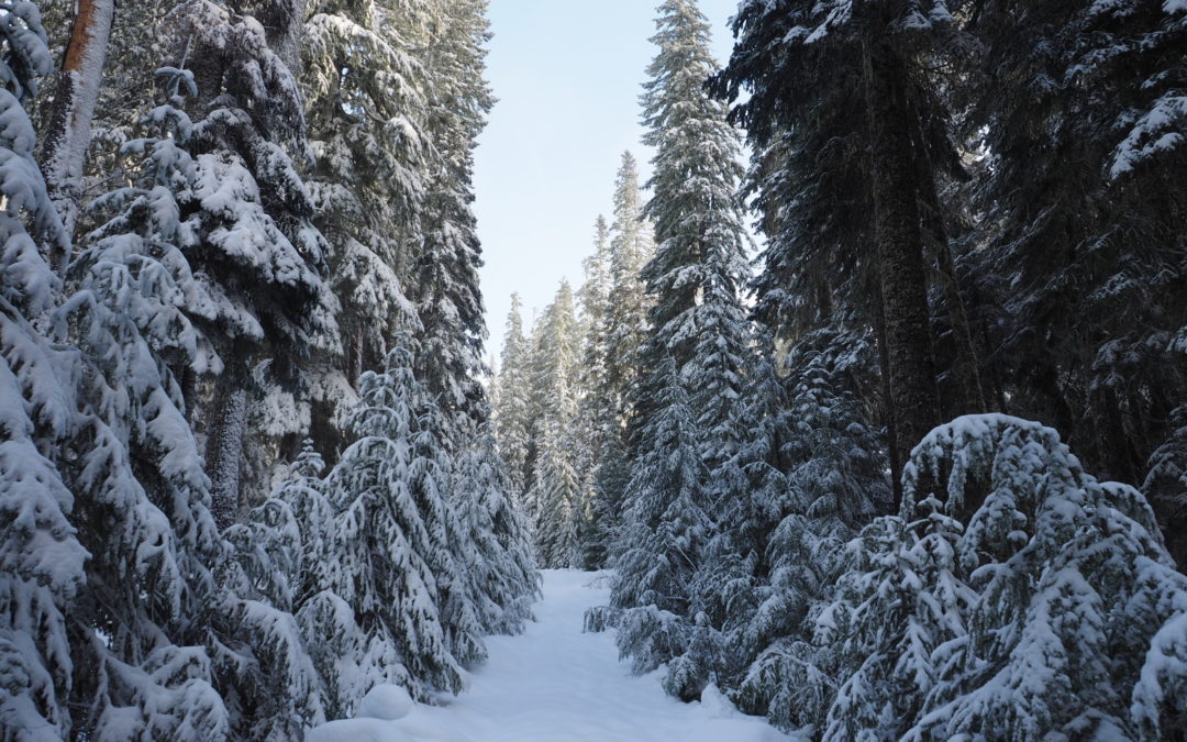
At the end of the parking lot for Barlow pass, find Buzzard Point ski trail. You will find a sign that indicates the Pioneer Woman’s grave is 2 miles away. The winter trail is a Forest Service road that gently drops in elevation. On clear days there are a few excellent views of Mt. Hood as you pass along the top of mountain meadows.
Most of the winter you will find access to water along the snow-covered road. Sometimes the water has cleared off patches of the road and you have to navigate through or around these spots.
After about 2 miles, the trail levels out and passes by the Pioneer Woman’s grave. Cross over the East Fork of the Salmon River and turn right and follow the blue diamonds, travelling generally north to a Forest Service Road. Follow this road northeast. The road curves more to the right and comes to a collapsed bridge over the East Fork of the Salmon River. As of 2019, the bridge is crossable though there is a good-sized gap to step across.
Cross the bridge and walk about 100 feet, looking for a clear path to the left. Follow the path as it gently rises, then falls as you curve around to the right.
The trail enters a clear-cut area, and bear left to navigate through breaks in the trees leading into another meadow. In the meadow there are two choices.
Choice 1 is the longer route but is easier to find. For this route, head generally southwest along the Barlow Road. There are a few plastic pipe markers along the trail but they may be hard to spot. The place to aim for is where the Forest Service Road comes into the meadow near the Pioneer Woman’s Grave. Once you reach the snow-covered Forest Service Road that you came down on, follow the road back up to the parking lot. This route adds a little over a mile to the trip.
The route reviewed here is to work your way uphill through the meadow to the top of the
clearing, again looking for the tallest trees at the edge of the forest.
There is a small stream that enters the meadow and provides an easy path into the woods. Once in the woods, the forest is fairly open, turn left and
head to the northeast for about .25 mile. This course will intersect with the Barlow Road which switchbacks down the hill.
In winter, the Barlow Road looks like a small stream that flows across the side of the hillside instead of straight downhill. Follow alongside the wagon road, looking out for the switchbacks, until you reach the parking lot.
This trail is safe for children and the gentle slopes have no avalanche danger.
Happy Trails,
Switchback Steve
Gallery Pics
Recent Comments