by Steve Jones | Feb 18, 2025 | Dayhikes, Easy Hikes, Hikes with Kids, Hiking |
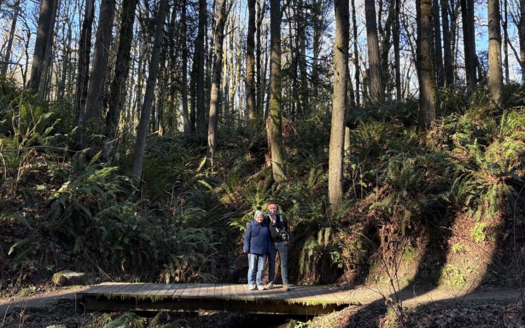
There is a porta potty at the trailhead, no permits needed.A fairly large gravel parking lot. Bicycles are allowed on the trail. Review: January 25, 2025Head southeast out of the parking lot down the slightly muddy gravel trail.It starts out through a forest of maples...
by Steve Jones | Dec 12, 2024 | Dayhikes, Easy Hikes, Hikes with Kids, Hiking |
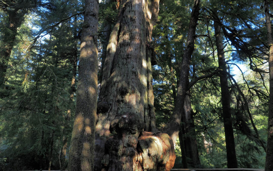
Directions: There is a pit toilet at the trailhead.There is water at the trailhead all year.No permit permits are needed to park. Length and Elevation:3.6 miles roundtrip. Elevation at the trailhead is 14 feet. Total gain is 240 feet and loss is 240 feet. Highest...
by Steve Jones | Dec 5, 2024 | Dayhikes, Easy Hikes, Hikes with Kids, Hiking |
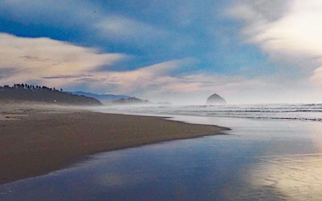
Vicinity Location:About 63 miles west of Portland, OR in the town of Rockaway. The parking lot is right next to Highway 101. If you are coming from Tillamook, just as you enter Rockaway Beach you will see a sign for Rockaway Beach which is the parking for the trail....
by Steve Jones | Nov 17, 2024 | Dayhikes, Hiking |
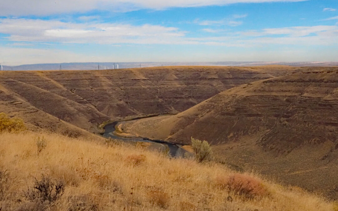
Vicinity Location:110 miles east of Portland, Oregon in Cottonwood Canyon State Park Directions: Take I-84 East to about 95 miles and take exit 97 from I-84 East to OR-206 E in Wasco County. Follow OR-206 East for about 31 miles and turn left into Cottonwood Canyon...
by Steve Jones | Oct 8, 2024 | Dayhikes, Hiking |
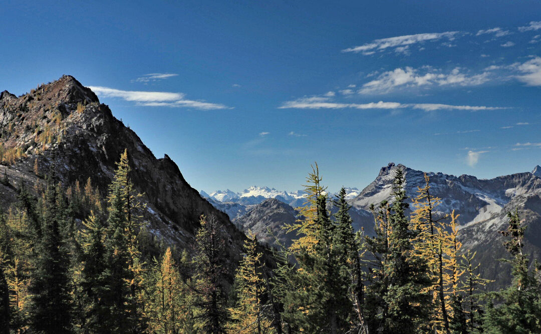
Vicinity Location:About 230 miles northeast of Portland, OR and about 100 miles northeast of Seattle in the Okanogan National Forest. Directions: From Portland this is a very long drive. Search Google Maps for “Cutthroat Trailhead”. Searching for...
by Steve Jones | Oct 1, 2024 | Dayhikes, Hiking |
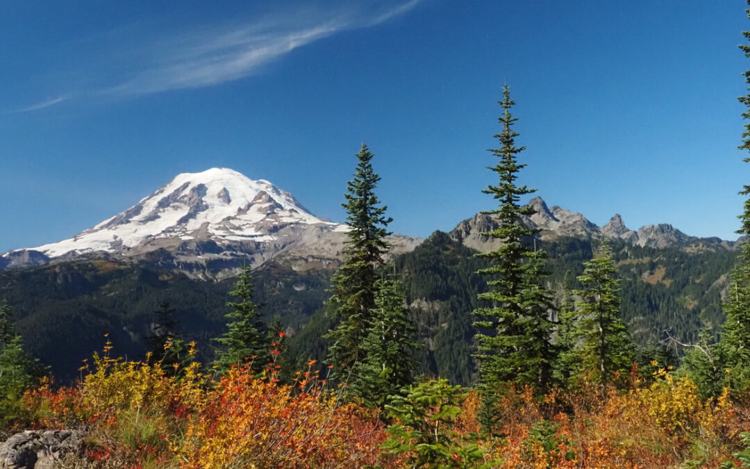
Vicinity Location:About 106 miles northeast of Portland, OR in Mt Rainier National Park. Directions:From Seattle: Follow I-5 South for 25 miles and take exit 142A to merge onto WA Highway 18 East toward North Bend/Auburn. Drive 4.4 miles and take the Auburn Way/WA...
Recent Comments