by Steve Jones | Jul 13, 2022 | Dayhikes, Easy Hikes, Hikes with Kids |
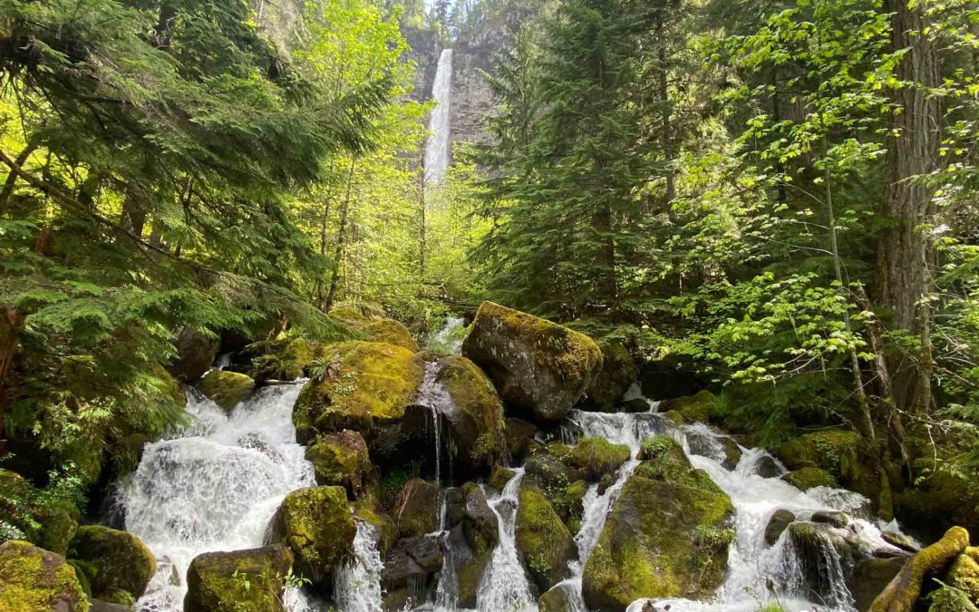
Vicinity Location:About 156 miles south of Portland, OR in the Umpqua National Forest.Directions: From Roseburg, OR, take OR-138 east / northeast Diamond Lake Boulevard. Continue on Highway 138 to milepost 61.3. Turn south off Highway 138 onto Forest Road 37 (Fish...
by Steve Jones | Jul 12, 2022 | Dayhikes, Hiking |
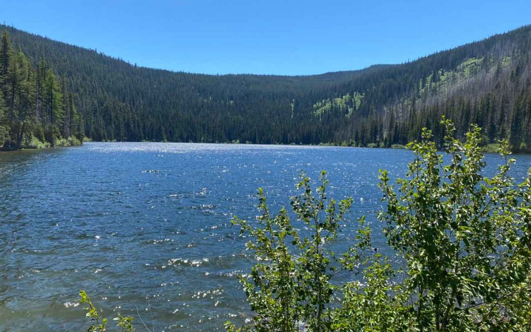
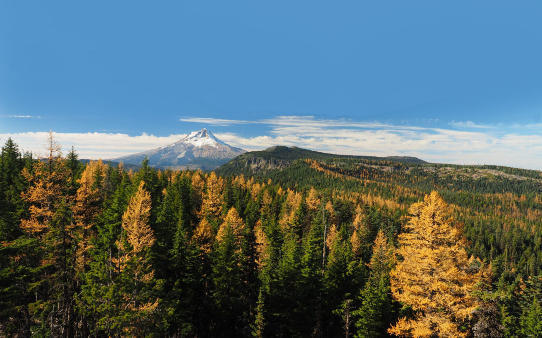
Vicinity Location:About 55 miles east of Portland, OR in the Mt. Hood National Forest. Directions:From Portland, take I-84 east for about 55 miles and take exit 64 in Hood River for Hwy 35. Drive to the traffic signal and turn right onto Button Bridge Road/Hwy...

by Steve Jones | Jan 7, 2022 | Dayhikes, Easy Hikes, Hikes with Kids, Hiking
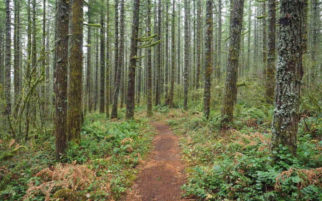
Vicinity Location: The trailhead is about 45 miles southeast of Portland, Oregon in the Mt. Hood National Forest. Directions:From Portland take I-84 East to the Wood Village, exit (16A). Head south and turn left onto NE Burnside Rd. Heading east, Burnside will merge...
by Steve Jones | Dec 30, 2021 | Dayhikes, Hiking
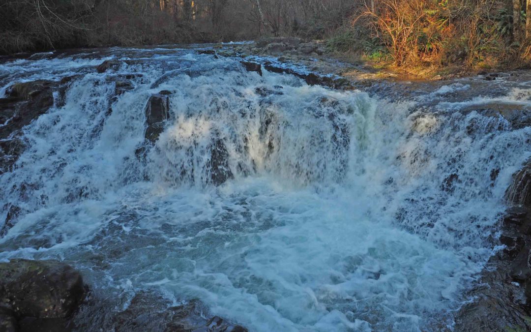
Vicinity Location: The trailhead is about 26 miles northeast of Portland, Oregon in the Yacolt Burn State Forest. Directions: From Portland drive North on I-5 from Vancouver and take exit 11 then turn right and take highway 502 5.8 miles to Battle Ground. You can also...
by Steve Jones | Dec 29, 2021 | Dayhikes, Easy Hikes, Hikes with Kids, Hiking
Vicinity Location: The trailhead is about 26 miles northeast of Portland, Oregon in Clark County. Directions:From Portland, OR, take I-205 north to exit 30b to Battle Ground. Move over to the middle lane and proceed north on SR503 for about 10 miles to Battle Ground....
by Steve Jones | Dec 28, 2021 | Dayhikes, Hiking
Vicinity Location:About 54 miles east of Portland, OR in the Mt. Hood National Forest.Note: This trailhead is inaccessible in the winter because Forest Road 44 is not plowed to this area. Directions:Drive south on Highway 35 towards Mt. Hood for 25.4 miles. Turn left...
Recent Comments