by Steve Jones | Sep 6, 2024 | Dayhikes, Easy Hikes, Hikes with Kids, Hiking |
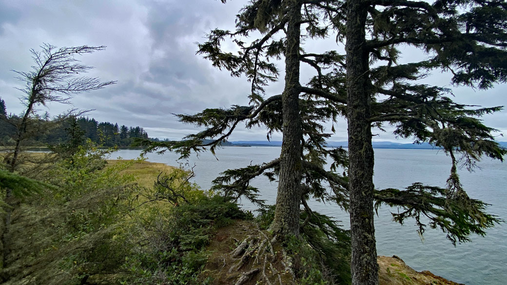
Vicinity Location:About 87 miles northwest of Portland, OR at Cape Disappointment State Park.Directions:Take I-5 North from Portland and drive about 43 miles. Take exit 36A-36B for WA-432 W/Kelso Dr toward Airport/Talley Way. It is easy to...
by Steve Jones | Sep 4, 2024 | Dayhikes, Hiking |
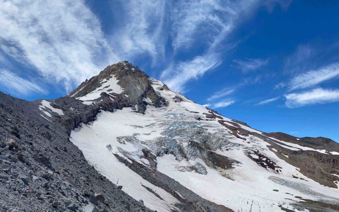
Vicinity Location:The trailhead is about 53 miles east of Portland, Oregon in the Mt. Hood National Forest. Directions:From Portland take I-84 E for about 55 miles.Take Exit 64 for the Mount Hood Hwy, OR-35 towards White Salmon/Govt. Camp and at the bottom of the exit...
by Steve Jones | Jul 29, 2024 | Dayhikes, Hiking |
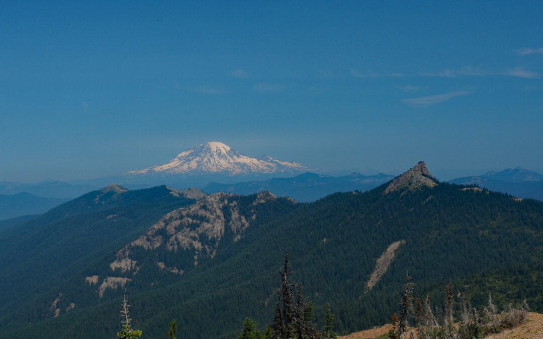
Directions: Take Forest Road 2324 until you’re almost to the trailhead then you turn left onto steep little road that is best suited for four-wheel-drive vehicles and leads up to the sunrise trailhead. No permits are needed to park. No bathrooms at the trailhead....
by Steve Jones | Jul 28, 2024 | Dayhikes, Hiking |
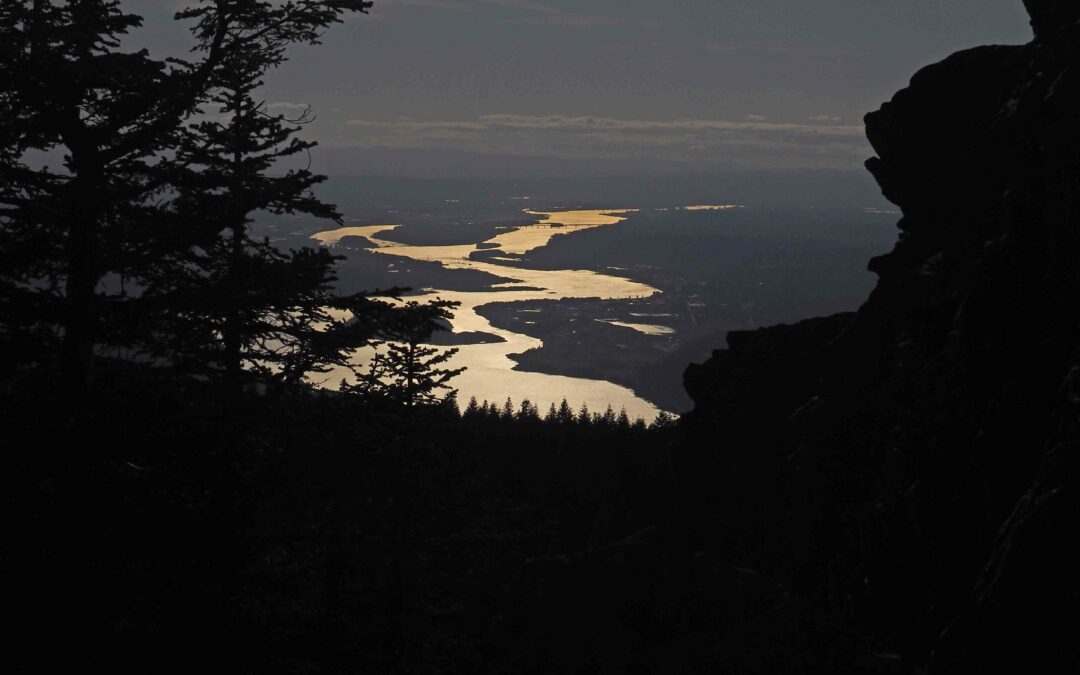
Vicinity Location:About 36 miles northeast of Portland, OR in the Columbia River Gorge.Directions:From Portland, Oregon, there are two ways to drive to the trailhead. If you have an extra 30 minutes then make your trip a loop drive. For the loop drive, take I-205...
by Steve Jones | May 31, 2024 | Dayhikes |
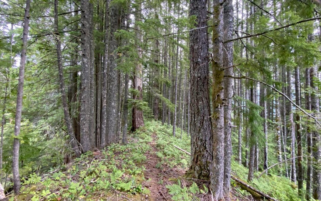
Note: Larch Mountain Road up to the Larch Mountain day use area and trailhead at MP 14.5 typically closes at mile 10 sometime in November and reopens sometime in May. Check the Multnomah County website to near those dates to find the current status of Larch...

by Steve Jones | May 26, 2024 | Dayhikes, Easy Hikes, Hikes with Kids |
Vicinity Location:About 23 miles northeast of Vancouver, WA in the Yacolt Burn State Forest. Directions:From Portland: The drive takes about 90 minutes from downtown Portland. Take I-205 North into Washington and drive about 4 miles and take Exit 30. The exit branches...
Recent Comments