

Vicinity Location:
About 40 miles west of Portland, OR.
Directions:
From Portland, take Highway 26 west for about 20 miles. Take the left exit for Hwy 6 towards Banks, Tillamook, and Forest Grove.
This road is also known as the Wilson River Highway.
For the Elk Mountain trailhead: Continue on Highway 6 for 23.5 miles from the junction Hwy 26 and Hwy 6 and make a right
just after milepost 28 and drive on a dirt road about .3 mile and pull into the first or second parking lot at Elk Creek Campground.
For the King’s Mountain trailhead: Continue on Highway 6 for 26.5 miles from the junction Hwy 26 and Hwy 6 to about milepost 25 and make a right into the parking lot for King’s Mountain Trail.
No permits are required.
There is an outhouse at this trailhead.
Trail:
Wilson River Trail – Elk Creek to King’s Mountain Trail with connections to King’s Mountain Trail and Elk Mountain Trail.
There is a geocache along trail at Geocaching.com but it is only available to premium members.
Trail Maps:
Topo Map, State of Oregon Map, Download Garmin .gpx file
Length and Elevation:
2 miles one way. Elevation gain of 500 feet and loss of 150 feet. Elevation at the trailhead is 450 feet, highest
point is at 600 feet. Lowest elevation is 450 feet.
Review: June 5, 2011.
Walk through the low elevation forest. on an steady uphill grade for the first
.1 mile to a junction in a small saddle. Pass the saddle and start descending
down switchbacks and cross Dog Creek on a single log bridge.
Because of the plentiful fall and winter rains, moss adorns the older trees and
the leaves of Vine Maple provide a colorful attraction in spring and fall. The
trail comes into a large clearing drained by a small stream at the east end of
the meadow and the trail crosses a log over the stream. It is interesting how
the stream is wearing away the dirt and makes a small waterfall, like a
micro-Niagara. The alders growing around the edges make a pleasant setting for
the meadow and the trail skirts the meadow’s edge. From here the trail gently
loses elevation
After a few miles you reach a 4-way trail junction. Turn left onto the Kings
Mountain Trail and walk the last .2 mile to the trailhead and parking area.
This is a nice hike and can be hiked
most any time of year. The low elevation, creeks, and meadow also make
the trail popular for mountain bikes.
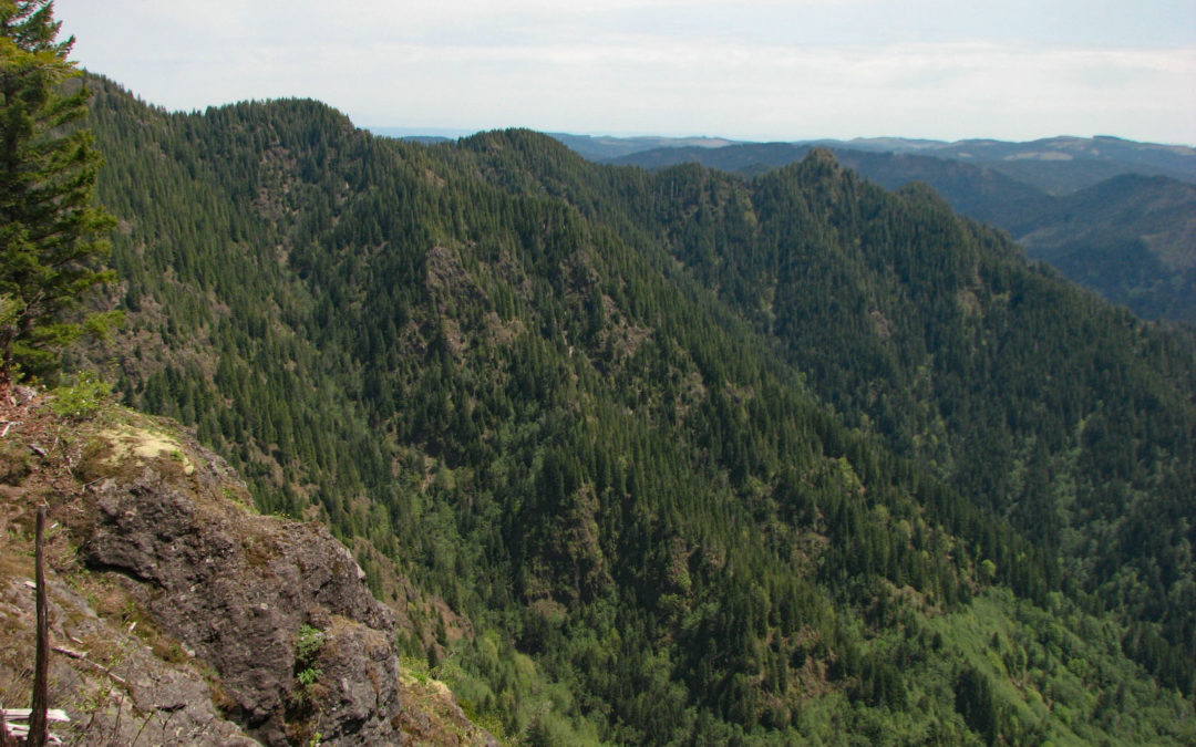
Enjoy the photos!
Gallery Pics
Switchback Steve
Recent Comments