by Steve Jones | Mar 19, 2022 | Backpacking Trips |
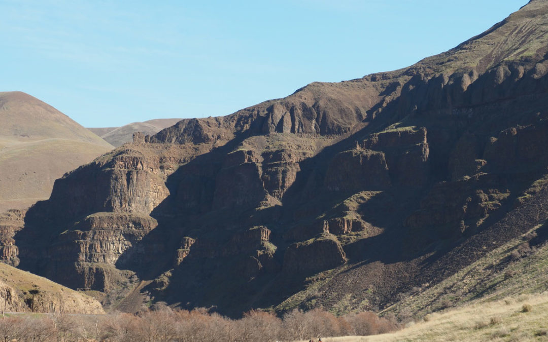
Vicinity Location: The trailhead is about 87 miles southeast of Portland, Oregon in the Lower Deschutes BLM lands. Directions:From Portland to Macks Canyon take I-84 East to the Wood Village, exit (16A). Head south and turn left onto NE Burnside Rd. Heading East,...

by Steve Jones | Jan 7, 2022 | Dayhikes, Easy Hikes, Hikes with Kids, Hiking
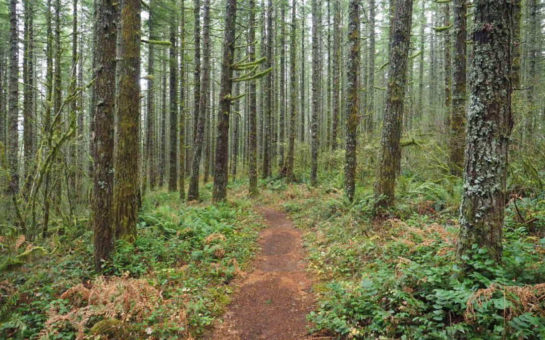
Vicinity Location: The trailhead is about 45 miles southeast of Portland, Oregon in the Mt. Hood National Forest. Directions:From Portland take I-84 East to the Wood Village, exit (16A). Head south and turn left onto NE Burnside Rd. Heading east, Burnside will merge...
by Steve Jones | Dec 30, 2021 | Dayhikes, Hiking
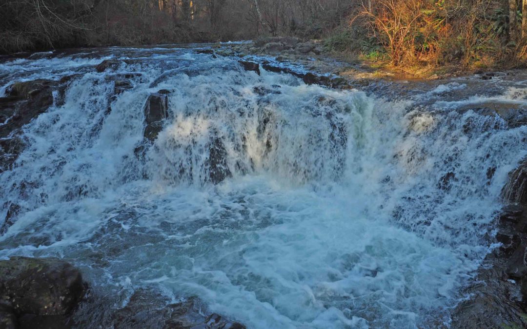
Vicinity Location: The trailhead is about 26 miles northeast of Portland, Oregon in the Yacolt Burn State Forest. Directions: From Portland drive North on I-5 from Vancouver and take exit 11 then turn right and take highway 502 5.8 miles to Battle Ground. You can also...
by Steve Jones | Dec 29, 2021 | Dayhikes, Easy Hikes, Hikes with Kids, Hiking
Vicinity Location: The trailhead is about 26 miles northeast of Portland, Oregon in Clark County. Directions:From Portland, OR, take I-205 north to exit 30b to Battle Ground. Move over to the middle lane and proceed north on SR503 for about 10 miles to Battle Ground....
by Steve Jones | Dec 28, 2021 | General Info
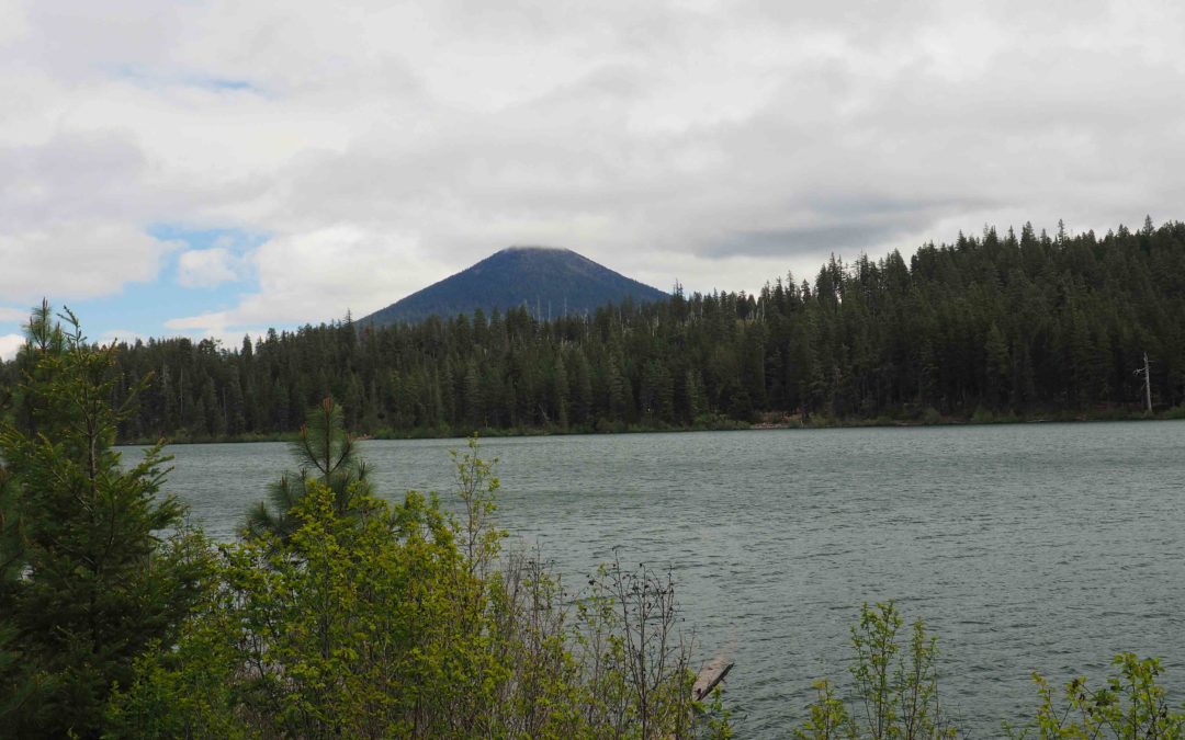
Vicinity Location:About 91 miles southeast of Portland, OR in the Deschutes National Forest. Directions:From Portland: drive on I-5 south for about 45 miles and take exit 253 towards Detroit Lake and Bend. Drive Highway 22 for 80 miles and continue straight onto...
Recent Comments