by Steve Jones | Jan 19, 2019 | Dayhikes, Easy Hikes, Hiking |
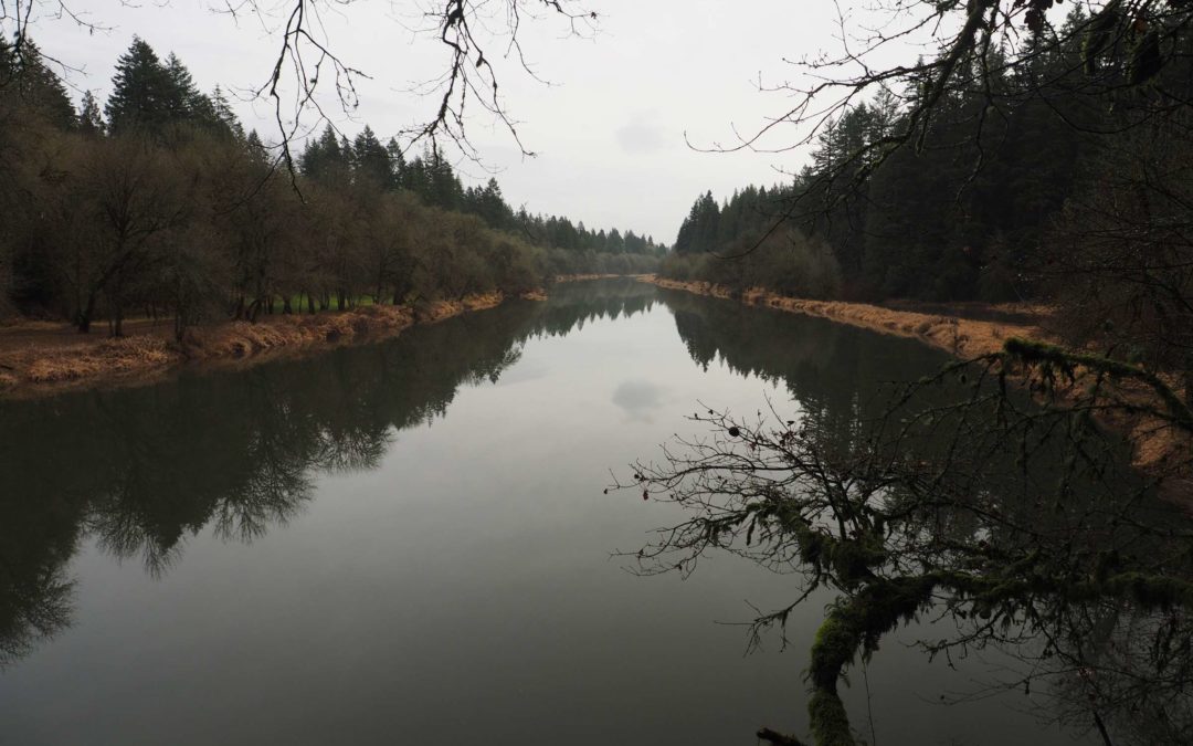
Vicinity Location: The trailhead is about 25 miles north of Portland, Oregon. Directions: From Portland take I-5 north past Vancouver, WA.Continue on I-5 N to exit 16. Ilani casino is at this exit and there is a sign for Paradise Point State Park. Exit the...
by Steve Jones | Nov 23, 2018 | Dayhikes, Hiking |
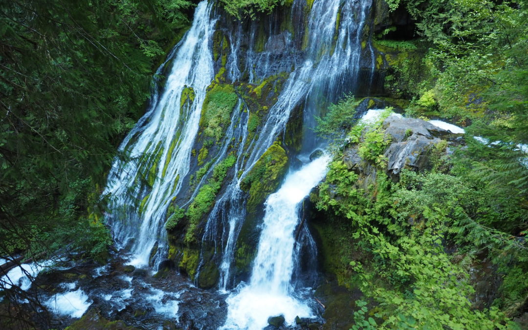
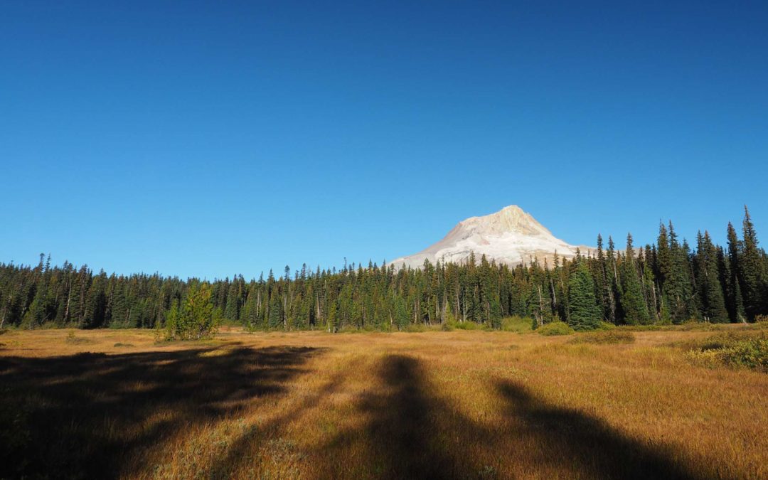
Vicinity Location: The trailhead is about 49 miles southeast of Portland, Oregon in the Mt. Hood National Forest. Directions: From Portland take I-84 East to the Wood Village, exit (16A). Head south and turn left onto NE Burnside Rd. Heading East, Burnside will merge...
by Steve Jones | Nov 20, 2018 | Dayhikes, Hiking |
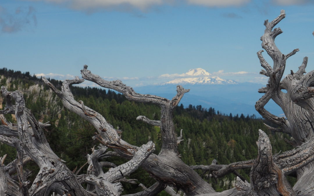
Vicinity Location: The trailhead is about 42 miles northeast of Portland, Oregon in the Gifford Pinchot National Forest. Directions: From Portland, Oregon, there are two ways to drive to the trailhead. If you have an extra 30 minutes then make your trip a loop drive....
by Steve Jones | Sep 22, 2018 | Dayhikes, Hiking |
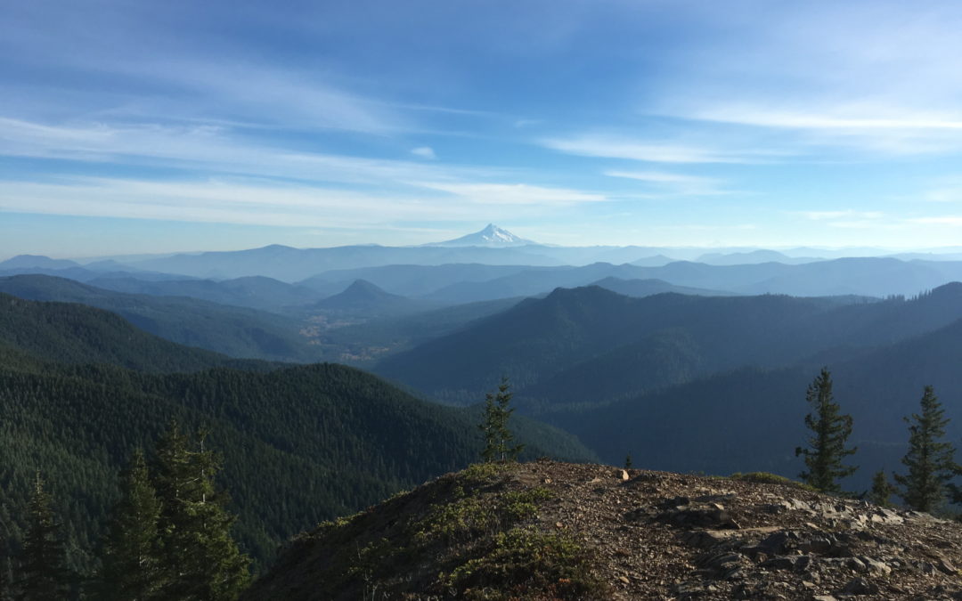
Vicinity Location: The trailhead is about 47 miles northeast of Portland, Oregon in the Gifford Pinchot National Forest. Directions: From Portland, Oregon, there are two ways to drive to the trailhead. If you have an extra 30 minutes then make your trip a loop drive....
by Steve Jones | Sep 10, 2018 | Backpacking Trips |
Notice: 5/14/2023 – Hiking between the Yocum Ridge Trail and the Muddy Fork has hundreds of trees down and sections of tread missing because of the September 2020 windstorm. It will probably take another year to repair the damages. Check the USFS for Timberline...
Recent Comments