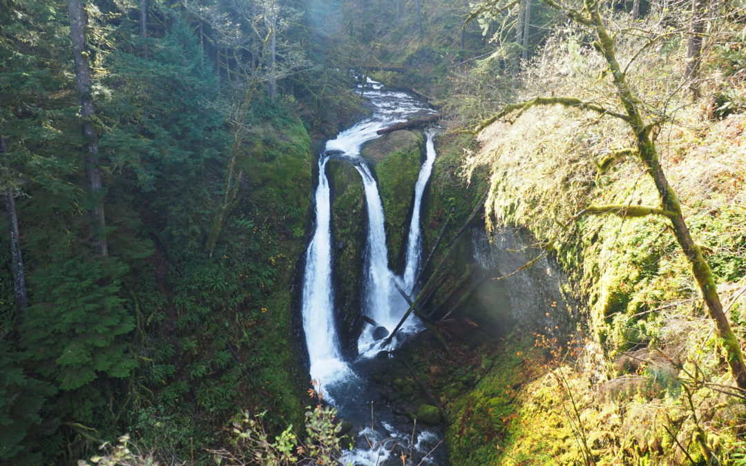
by Steve Jones | Nov 27, 2016 | Dayhikes, Hiking |
Vicinity Location: The trailhead is about 30 miles east of Portland, Oregon in the Columbia Gorge National Scenic Area. Directions: From Portland take I-84 east for about 30 miles. Follow the signs for Multnomah Falls and take exit 31, which is a left exit, off I-84...
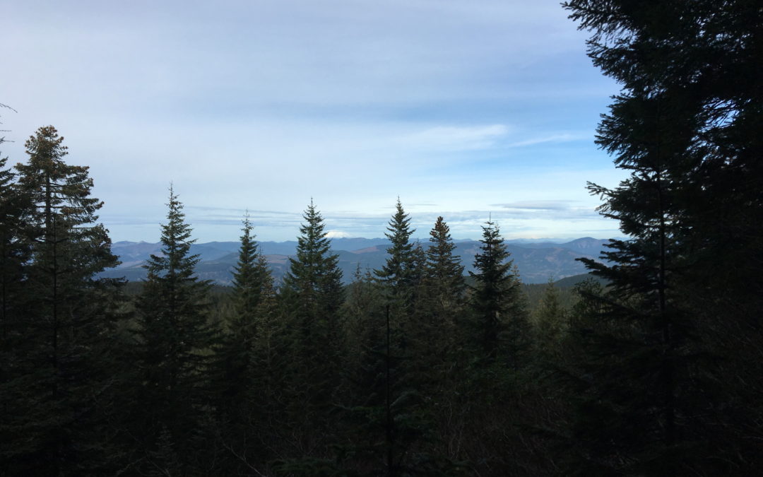
by Steve Jones | Nov 22, 2016 | Dayhikes, Hiking |
Note: Larch Mountain Road up to the Larch Mountain day use area and trailhead at MP 14.5 typically closes at mile 10 sometime in November and reopens sometime in May. Check the Multnomah County website to near those dates to find the current status of Larch Mountain...
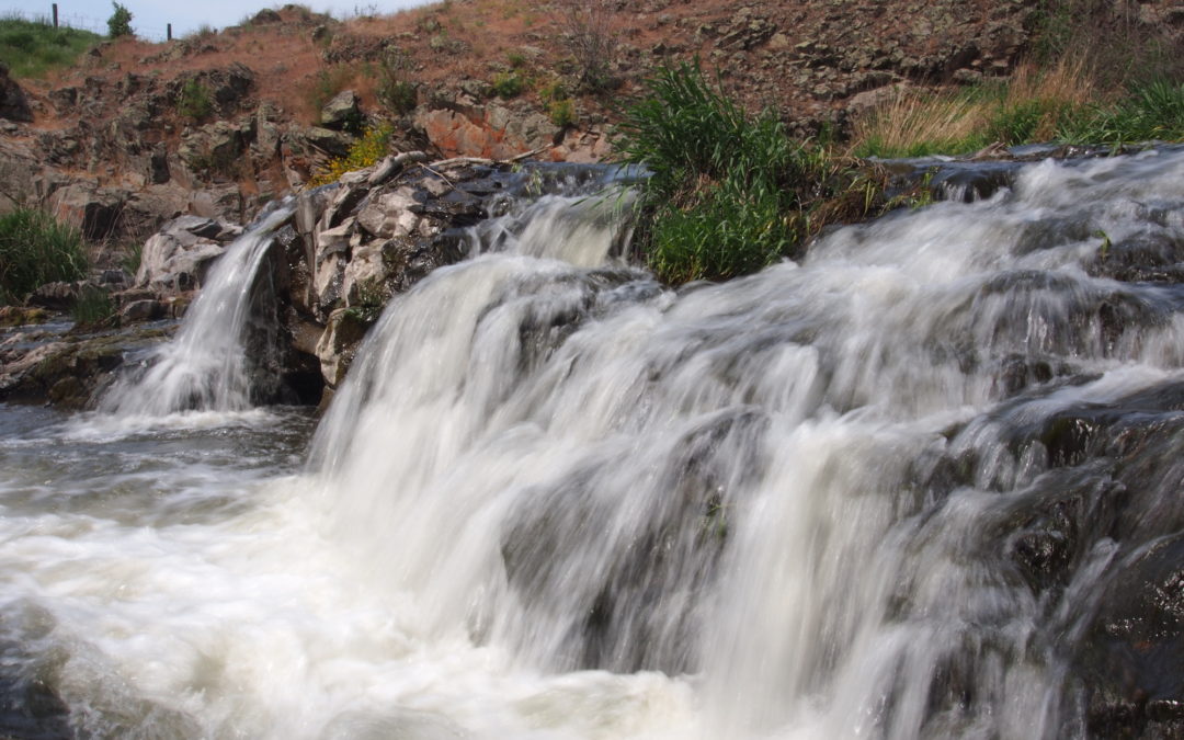
by Steve Jones | Nov 18, 2016 | Dayhikes, Easy Hikes, Hiking, Mountain Biking |
Vicinity Location: The trailhead is 210 miles southeast of Seattle, WA and northeast of Portland, OR Directions: Note that cell phone reception can be poor to non-existent all around this area. From Sprague, exit 245. Turn onto Highway 23, traveling south for 12.2...
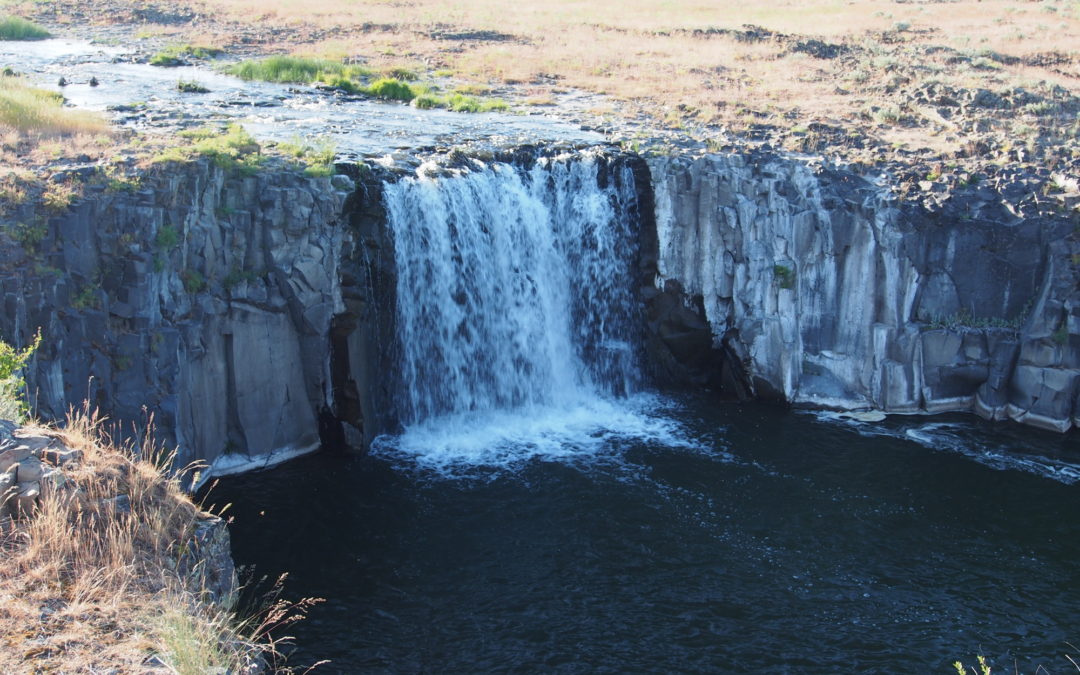
by Steve Jones | Nov 18, 2016 | Dayhikes, Easy Hikes, Hiking, Mountain Biking |
Vicinity Location: The trailhead is 210 miles southeast of Seattle, WA and 245 northeast of Portland, OR Directions: Note that cell phone reception can be poor to non-existent all around this area. From Sprague, exit 245. Turn onto Highway 23, traveling south for 12.2...
by Steve Jones | Nov 18, 2016 | General Info |
A behind the scenes look at keeping the road open. <iframe src="https://www.nps.gov/media/video/embed.htm?id=DE6D986A-BBE1-4747-C894B6E530591530" width="480" height="306" frameborder="0" scrolling="auto"...

Recent Comments