by Steve Jones | Jun 16, 2020 | Dayhikes, Hiking |
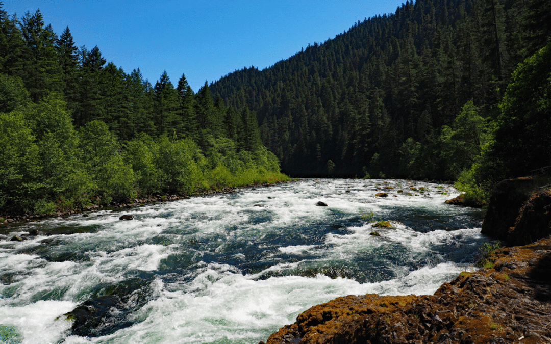
Notice: 12/28/2021 – This trail is closed due to forest fires. Vicinity Location:The trailhead is about 50 miles southeast of Portland, Oregon in the Mt. Hood National Forest. Directions: From Portland via Estacada: From Portland take I-84 east to I-205 south....
by Steve Jones | Mar 27, 2020 | Dayhikes, Easy Hikes, Hikes with Kids, Hiking, Metro Area Hikes |
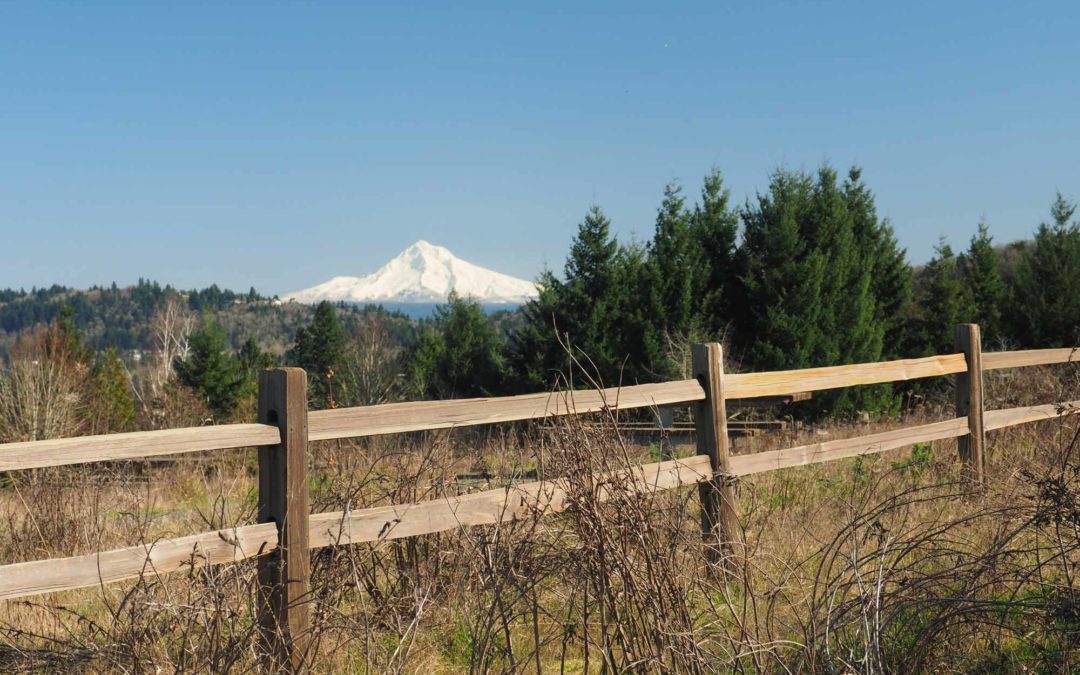
Vicinity: About 10 miles southeast of Portland. Directions:From Portland, take I-84 east to I-205 south. Take exit 19 for Division Street and turn left at the traffic light (you can’t turn left on Powell). Take SE Division to SE 136th Ave and turn right. Turn...
by Steve Jones | Mar 27, 2020 | Dayhikes, Easy Hikes, Hikes with Kids, Hiking, Metro Area Hikes |
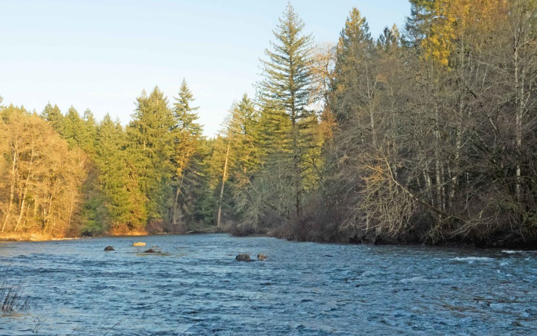
Directions:From Portland take I-84 East then take exit 8 to merge onto I-205 North towards Seattle. Drive 8.4 miles on I-205 North over the Columbia River into Washington and take exit 38-B to merge onto SR-500 E. SR-500 curves and continues on NE 117th...
by Steve Jones | Mar 19, 2020 | Dayhikes, Hiking |
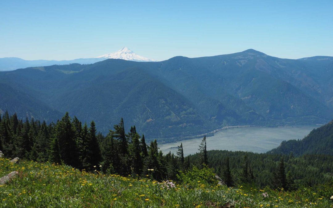
Vicinity Location: The trailhead is 51 miles east of Portland, Oregon in the Gifford Pinchot National Forest. Directions:From Portland, Oregon, there are two ways to drive to the trailhead. If you have an extra 30 minutes then make your trip a loop drive. For the loop...
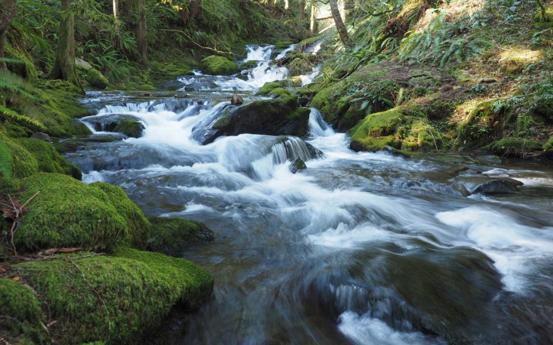
by Steve Jones | Mar 11, 2020 | Dayhikes, Hiking |
Vicinity Location:About 30 miles northeast of Portland, OR in the Gifford Pinchot National Forest. Directions:From Portland take I-84 East and merge onto I-205 North towards Portland Airport/Vancouver. Drive past the Portland Airport Exit and cross the Columbia River....
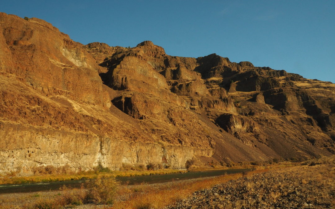
by Steve Jones | Mar 6, 2020 | Dayhikes, Hiking |
Vicinity Location:The trailhead is about 107 miles east of Portland, Oregon. Directions:From Portland, take I-84 E to exit 97. Take OR-206 E and drive for about 30 miles to Cottonwood Canyon State Park. Turn right just before the John Day River and drive down to the...

Recent Comments