by Steve Jones | Mar 18, 2024 | Backpacking Trips |
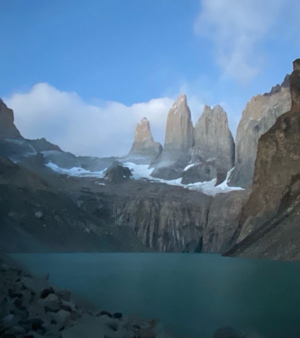
Vicinity Location: The trailhead is about 7,300 miles southeast of Portland, Oregon in the Torres del Paine National Park, Chile. Directions: Two days of flying brought us to Punta Arenas. We stayed at a homestead style AirBNB between the airport and town. Cell...
by Steve Jones | Feb 5, 2024 | Dayhikes, Easy Hikes, Hiking |
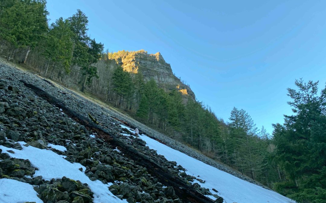
Vicinity Location:50 miles east of Portland, Oregon in the Columbia River National Scenic Area. Directions:From Portland, Oregon, take I-84 east to the Wyeth exit, turn right at the bottom of the off ramp, in about 50 feet turn right again onto Herman Creek Road. This...
by Steve Jones | Dec 29, 2023 | Backpacking Trips |
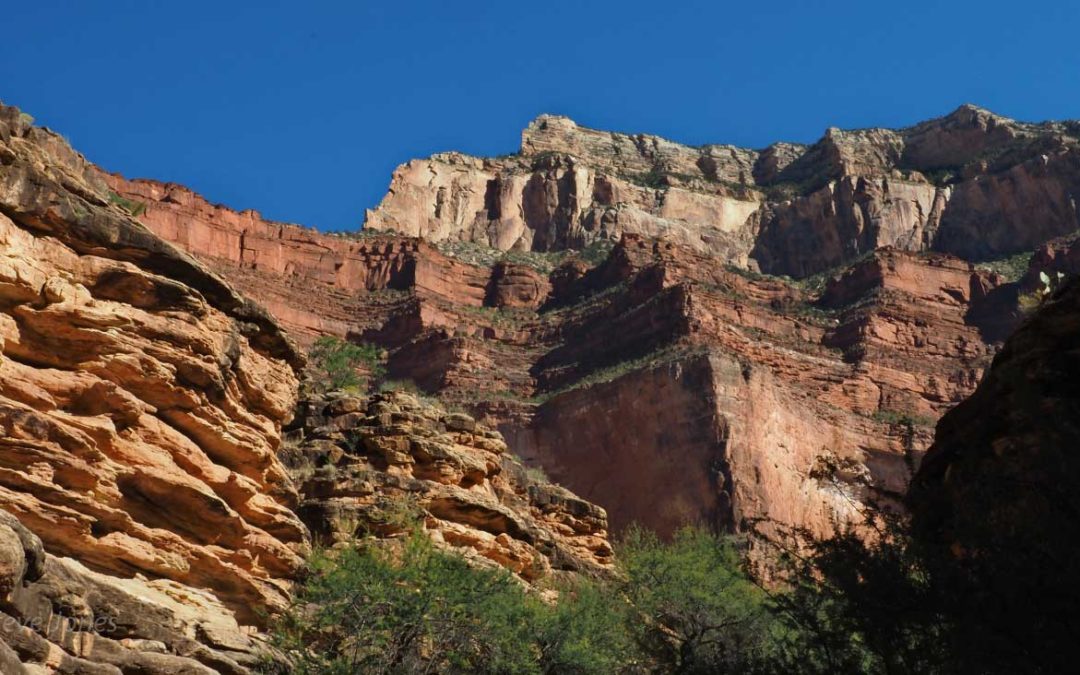
Vicinity Location:About 850 miles southwest of Portland, OR in Grand Canyon National Park.Length and Elevation:33.3 miles roundtrip + 7.3 mile car shuttle. Elevation at Bright Angel Trailhead is 6,835 feet. Total gain is 10,310 feet and loss is 10,178 feet for...
by Steve Jones | Sep 19, 2023 | Backpacking Trips |
Vicinity Location: The trailhead is about 165 miles north of Portland, Oregon in the Olympic National Forest. Directions:From Portland drive north on I-5 about 100 miles and take exit 104 to Hwy 101 North for 85.7 miles and make a sharp left on Penny Creek Rd which is...
by Steve Jones | Aug 6, 2023 | Backpacking Trips |
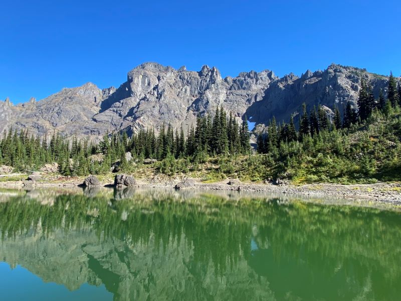
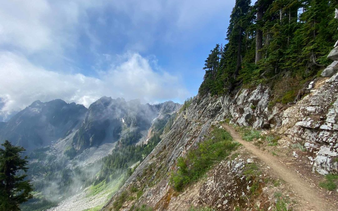
Vicinity Location: The trailhead is about 207 miles northeast of Portland, Oregon in the Alpine Lakes Wilderness and the Mt. Baker-Snoqualmie National Forest. Directions:Set up a car shuttle between the Stevens Pass and Snoqualmie Pass trailheads. Parking at the...
Recent Comments