- LanguageAfrikaans Argentina Azərbaycanca
Bahasa Indonesia Brasil Brezhoneg
Català Česky Dansk
Deutsch Dhivehi English
English English Español
Esperanto Estonian Euskara
Finnish Français Français
Gaeilge Galego Hrvatski
Íslenska Italiano Latviešu
Lëtzebuergesch Lietuviu Magyar
Malay México Nederlands
Norsk bokmål Norwegian nynorsk Polski
Português Română Slovenšcina
Slovensky Srpski Svenska
Tiếng Việt Türkçe Wolof
Ελληνικά Български Македонски
Монгол Русский Српски
Українська עברית العربية (مصر)
العربية العربية پارسی
कोंकणी বাংলাગુજરાતી
தமிழ் ಕನ್ನಡ ภาษาไทย
ქართული ខ្មែរ 中文 (繁體)
中文 (香港) 日本語 简体中文
한국어
Home / Eagle Benson Photos OR 27

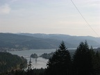 Climbing up Ruckel Ridge affords nice views of the Columbia River. This is looking to the east. The Bridge of the Gods is in the distance.
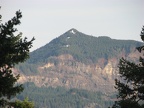 Looking over the Gorge to Greenleaf Peak in Washington.
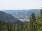 Bonneville Dam was near the starting elevation for this hike. The elevation gain is apparant and there is plenty more to come.
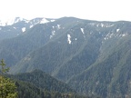 Ruckel Ridge Trail, looking towards Tanner Butte.
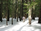 The Benson Plateau can have snow into June. In April, there was almost 4 foot of snowpack.
 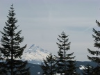 Near Camp Smokey is an open patch of ground with nice views of Mt. Hood. This is one of the few area on the Plateau where you can get a good GPS reading.
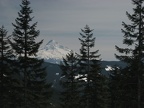 Near Camp Smokey is an open patch of ground with nice views of Mt. Hood. This is one of the few area on the Plateau where you can get a good GPS reading.
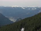 You can barely see Bonneville Dam from the clearing near Camp Smokey.
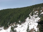 Going down the Eagle-Benson Trail skirts a sharp dropoff that provides views to the north.
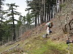 Taking a rest break on the lower part of the Eagle-Benson Trail.
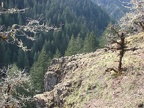 The lower part of the Eagle-Benson Trail makes its way down a place where there isn't a sheer dropoff down to Eagle Creek. You can see the nearby cliffs that drop down to Eagle Creek.
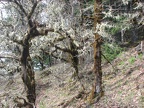 Lichen covered oak trees make eirie sentinals as you walk past. This is on the cliffs above Eagle Creek.
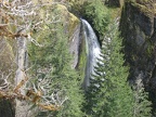 Eagle-Benson Trail crosses Wy'east Creek above Wy'east Falls, a 140 feet plunge waterfall.
 The Eagle-Benson Trail goes into this creek valley and then crosses the creek. I couldn't find the namne for this creek.
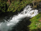 The creek flows down the hanging valley then over a waterfall to join Eagle Creek.