- LanguageAfrikaans Argentina Azərbaycanca
Bahasa Indonesia Brasil Brezhoneg
Català Česky Dansk
Deutsch Dhivehi English
English English Español
Esperanto Estonian Euskara
Finnish Français Français
Gaeilge Galego Hrvatski
Íslenska Italiano Latviešu
Lëtzebuergesch Lietuviu Magyar
Malay México Nederlands
Norsk bokmål Norwegian nynorsk Polski
Português Română Slovenšcina
Slovensky Srpski Svenska
Tiếng Việt Türkçe Wolof
Ελληνικά Български Македонски
Монгол Русский Српски
Українська עברית العربية (مصر)
العربية العربية پارسی
कोंकणी বাংলাગુજરાતી
தமிழ் ಕನ್ನಡ ภาษาไทย
ქართული ខ្មែរ 中文 (繁體)
中文 (香港) 日本語 简体中文
한국어
Home / Fire Lane 12 Photos OR 9

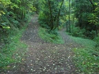 Junction of Fire Lane 12 on the left and Fire Lane 15 on the right. You can see the trees shade the trail.
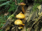 Mushrooms growing on a rotting log along Fire Lane 12.
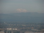 Mt. Adams behind the Portland industrial area taken from near the junction of the BPA Road and Fire Lane 13.
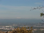 A wider angle of view showing Mt. Adams behind the Portland industrial area taken from near the junction of the BPA Road and Fire Lane 13.
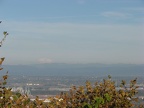 A wider angle of view showing Mt. Adams behind the Portland industrial area taken from near the junction of the BPA Road and Fire Lane 13.
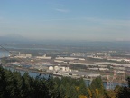 A wider angle of view showing Mt. St. Helens on the left and Mt. Adams on the right, behind the Portland industrial area taken from near the junction of the BPA Road and Fire Lane 13.
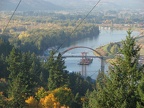 The new Sauvie Island Bridge taken from near the junction of the BPA Road and Fire Lane 13.
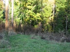 Picture of the end of Fire Lane 13 showing the power poles that mark the start of the user trail. You can see the user trail going off into the brush just to the right of the poles.
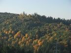 Looking west from the clearing around the last powerline crossing Fire Lane 13. You can see the powerline in the distance.