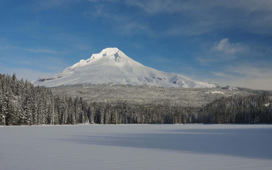
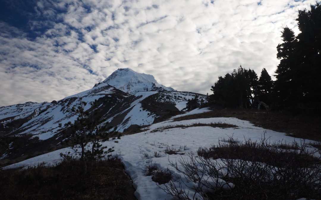
Barrett Spur, OR
Hike up Vista Ridge to Barrett Spur
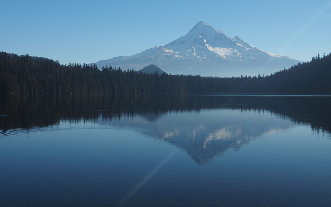
Lost Lake, OR
Vicinity Location: The trailhead is about 42 miles east of Portland, Oregon in the Mt. Hood National Forest. Directions: From Portland drive east on I-84 to Hood River for about 60 miles and take Exit 62. Tturn right at the stop sign onto Hwy 30 East, Cascade Ave for...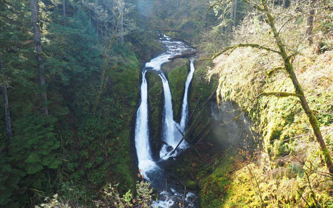
Oneonta – Franklin Ridge Loop, OR
Vicinity Location: The trailhead is about 30 miles east of Portland, Oregon in the Columbia Gorge National Scenic Area. Directions: From Portland take I-84 east for about 30 miles. Follow the signs for Multnomah Falls and take exit 31, which is a left exit, off I-84...
Recent Comments