by Steve Jones | Jul 10, 2016 | Dayhikes, Hikes with Kids, Hiking |
Vicinity Location: About 60 miles southeast of Seattle, WA in Mt. Rainier National Park. Directions: From Seattle: Follow I-5 South for 25 miles and take exit 142A to merge onto WA Highway 18 East toward North Bend/Auburn. Drive 4.4 miles and take the Auburn Way/WA...
by Steve Jones | Jul 4, 2016 | Dayhikes, Hiking |
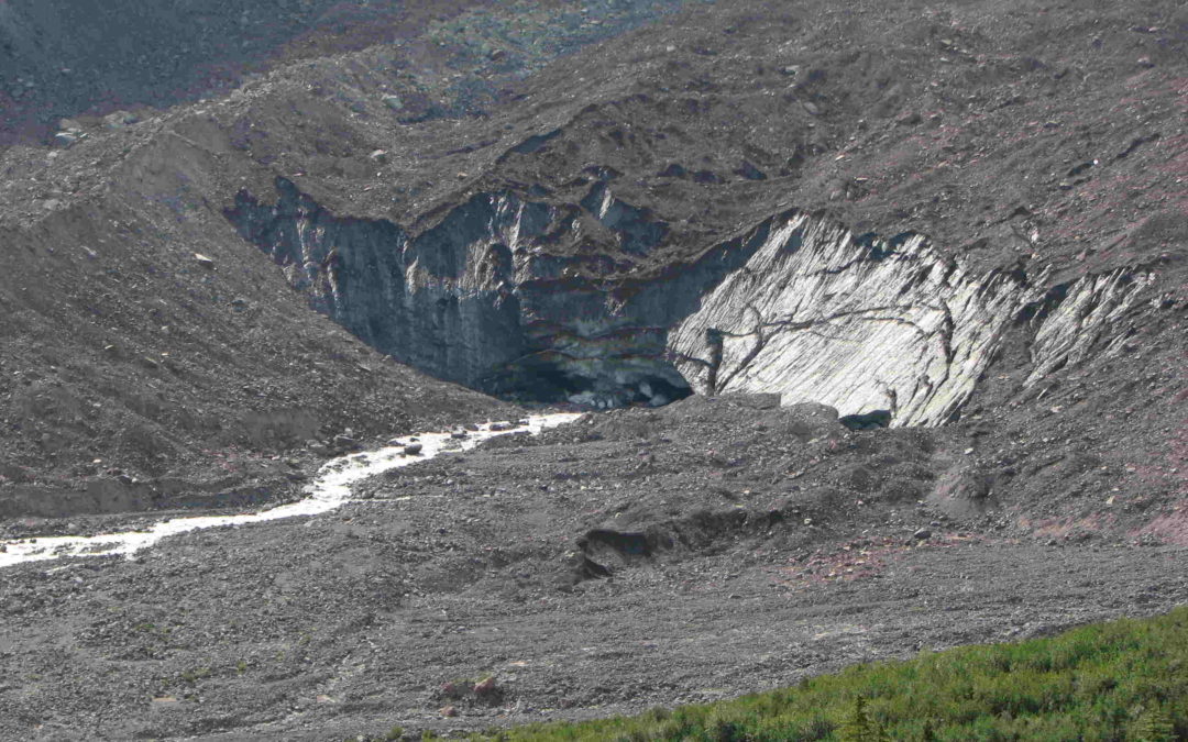
Notice: 6/25/19 – A severe thunderstorm in August 2014 swelled streams on Mt. Hood and washed out the bridge over the Sandy River. One person on the bridge was swept away and died according to local news sources. This trail is not suitable for inexperienced...
by Steve Jones | Jul 4, 2016 | Dayhikes, Hikes with Kids, Hiking |
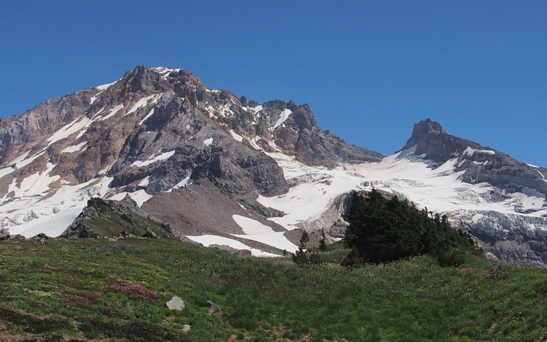
Vicinity Location: 44 miles east of Portland in the Mt. Hood National Forest. Directions: From Portland take I-84 East to the Wood Village, exit (16A). Head south and turn left onto NE Burnside Rd. Heading East, Burnside will merge into Highway 26. Follow Hwy 26 for...
by Steve Jones | Jul 3, 2016 | Dayhikes, Hiking |
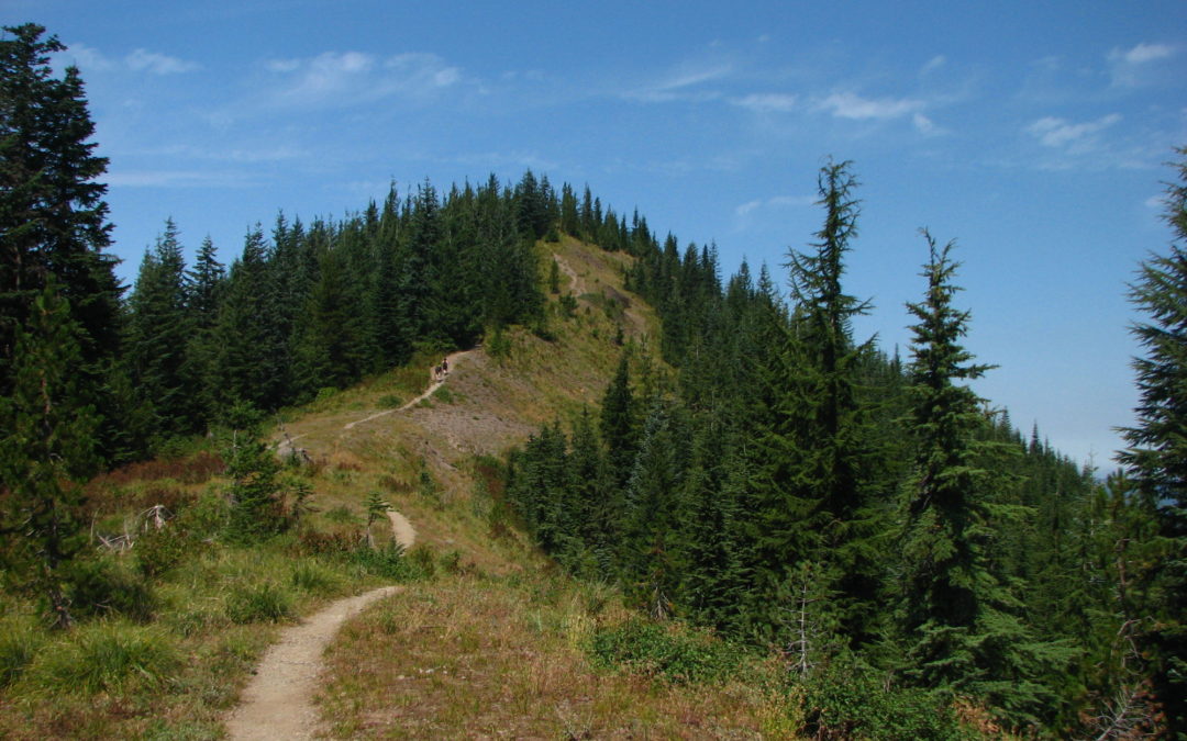
Vicinity Location:The trailhead is 33 miles northeast of Portland, OR in the Columbia River Gorge. Directions: Download Garmin .gpx file for gps route from Beacon Rock State Park and Highway 14. Text directions are sketchy. From Portland take I-205 North; drive past...
by Steve Jones | Jul 3, 2016 | Dayhikes, Easy Hikes, Hikes with Kids, Hiking |
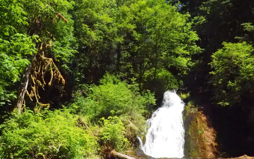
Vicinity Location: Bureau of Land Management Alsea Falls Recreation Area Location: The trailhead is 20 miles southwest of Corvallis, OR near the community Alsea. Directions: From Corvallis, drive west on OR-34 W, Alsea Hwy for about 23 miles to Alsea. From the town of...
by Steve Jones | Jul 2, 2016 | Dayhikes, Easy Hikes, Hikes with Kids, Hiking |
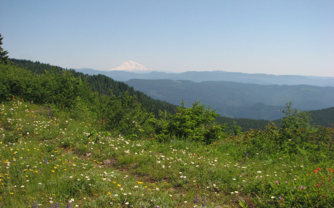
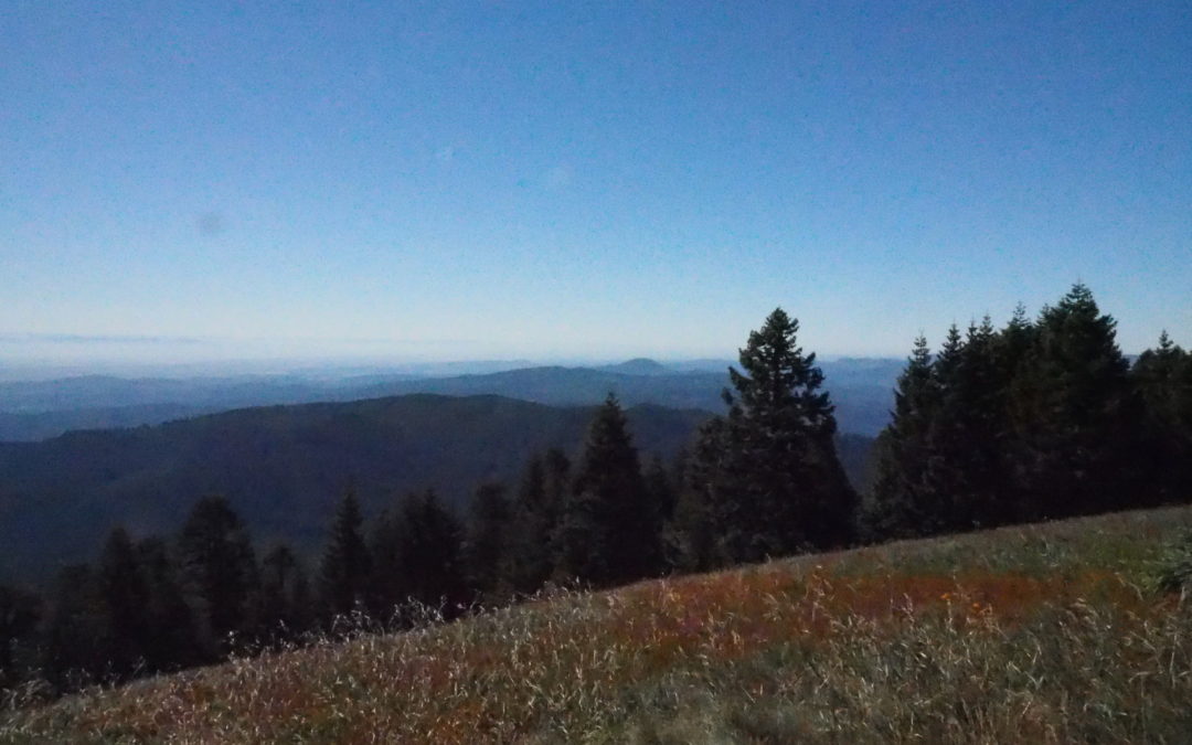
Vicinity Location: Siuslaw National Forest Location: The trailhead is 24 miles west of Corvallis, OR near the community Philomath. Directions: Take a pleasant drive west from Corvallis on Highway 20 for about 6 miles and turn left onto Highway 34 and drive southwest....
Recent Comments