- LanguageAfrikaans Argentina Azərbaycanca
Bahasa Indonesia Brasil Brezhoneg
Català Česky Dansk
Deutsch Dhivehi English
English English Español
Esperanto Estonian Euskara
Finnish Français Français
Gaeilge Galego Hrvatski
Íslenska Italiano Latviešu
Lëtzebuergesch Lietuviu Magyar
Malay México Nederlands
Norsk bokmål Norwegian nynorsk Polski
Português Română Slovenšcina
Slovensky Srpski Svenska
Tiếng Việt Türkçe Wolof
Ελληνικά Български Македонски
Монгол Русский Српски
Українська עברית العربية (مصر)
العربية العربية پارسی
कोंकणी বাংলাગુજરાતી
தமிழ் ಕನ್ನಡ ภาษาไทย
ქართული ខ្មែរ 中文 (繁體)
中文 (香港) 日本語 简体中文
한국어
Home / Newton Creek Photos OR 9

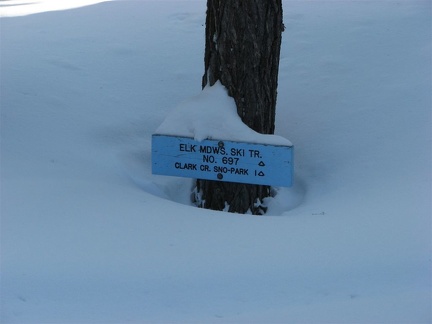 Winter storms can pile snow to surprising depths around Mt. Hood. One more good snowstorm will cover this sign, making routefinding more difficult.
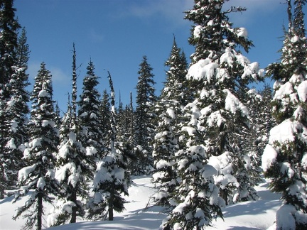 Snow blankets the firs and hemlock trees and any winds provide surprises to inattentive people who stand too close when snow sloughs off the treetops.
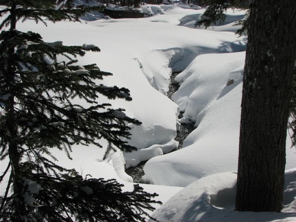 Newton Creek in the depths of winter. This creek is about 5 feet wide and at the bottom of about a 12 foot deep snow canyon.
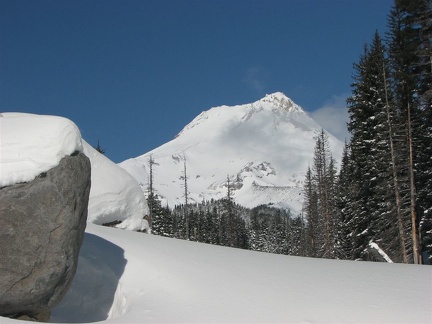 Mt. Hood from Newton Creek. There are some large boulders along the creek left from the last big flood.
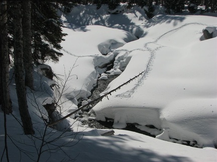 Newton Creek showing where I crossed. The log crossing looked to dangerous so I shovelled a ramp down to a step-across creek crossing.
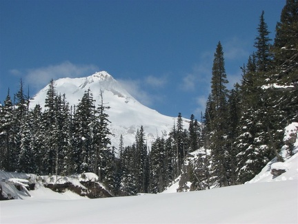 Mt. Hood from Newton Creek. This view shows the canyon that begins just upstream from where the summer trail crosses Newton Creek.
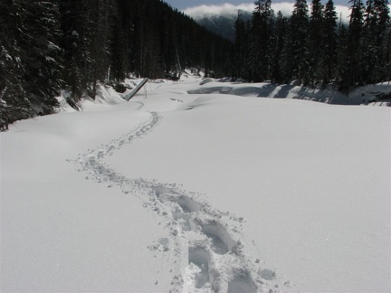 Looking downstream on Newton Creek showing that there is a wide floodplain for snowshoeing or skiing along this part of the creek.
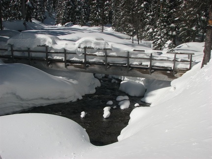 The log bridge over Clark Creek is so full of snow that it isn't useable until some of the snow melts. There are usually snow bridges just upstream from the bridge that are used.
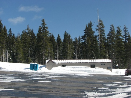 The Nordic Center at Mt. Hood Meadows is the trailhead for this hike. The trail is found by starting from the left side of the center and walking off to the left a bit, looking for blue trail markers.