- LanguageAfrikaans Argentina Azərbaycanca
Bahasa Indonesia Brasil Brezhoneg
Català Česky Dansk
Deutsch Dhivehi English
English English Español
Esperanto Estonian Euskara
Finnish Français Français
Gaeilge Galego Hrvatski
Íslenska Italiano Latviešu
Lëtzebuergesch Lietuviu Magyar
Malay México Nederlands
Norsk bokmål Norwegian nynorsk Polski
Português Română Slovenšcina
Slovensky Srpski Svenska
Tiếng Việt Türkçe Wolof
Ελληνικά Български Македонски
Монгол Русский Српски
Українська עברית العربية (مصر)
العربية العربية پارسی
कोंकणी বাংলাગુજરાતી
தமிழ் ಕನ್ನಡ ภาษาไทย
ქართული ខ្មែរ 中文 (繁體)
中文 (香港) 日本語 简体中文
한국어
Home / Beacon Rock Photos WA 15

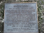 A bronze plaque commemorating the land donation of Beacon Rock to the State Park system.
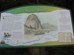 An informative sign talks about Lewis and Clark's journal describing their sighting of Beacon Rock.
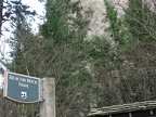 Beacon Rock Trailhead sign shows where the trail begins.
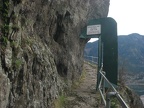 The trail has a gate that is closed from dusk to 8am. I would hate to get caught on the trail and find the gate closed.
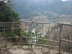 There are a couple sections of old railings still along the trail. This overlooks the Columbia River.
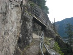 Sections of the trail loop around over other sections of the trail.
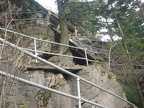 Railings line almost the entire trail because of the sheer cliffs of the basalt monolith.
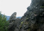 Near the top of Beacon Rock is a small rock column providing an interesting addition to the view.
 From the top of Beacon Rock there are great views to the east with Boneville Dam in the distance. The trees along the river will soon burst into green.
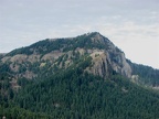 From the top of Beacon Rock you can see Hamilton Mountain and the basalt cliffs along the south side of the mountain. Looking at Hamilton Mountain you can see how steep slopes end in sheer cliffs in the Gorge.
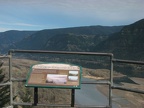 A trail signt at the top of Beacon Rock talks about the Missoula Floods and how they shaped the Gorge.
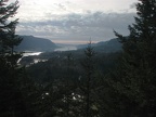 The late afternoon sun shows the clouds coming in from the west bringing rain to keep washington green. The Columbia River flows west into the sunset.
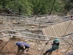 Looking down from the trail you can see all the switchbacks going down the cliff to the base of Beacon Rock.
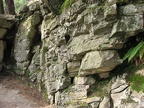 All mountains erode and here is a picture of the rock along a section of the trail fractured.
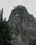 Beacon Rock from across Highway 14 showing the steep cliffs. The trail starts on the other side of Beacon Rock, then goes to this side once it nears the top.