- LanguageAfrikaans Argentina Azərbaycanca
Bahasa Indonesia Brasil Brezhoneg
Català Česky Dansk
Deutsch Dhivehi English
English English Español
Esperanto Estonian Euskara
Finnish Français Français
Gaeilge Galego Hrvatski
Íslenska Italiano Latviešu
Lëtzebuergesch Lietuviu Magyar
Malay México Nederlands
Norsk bokmål Norwegian nynorsk Polski
Português Română Slovenšcina
Slovensky Srpski Svenska
Tiếng Việt Türkçe Wolof
Ελληνικά Български Македонски
Монгол Русский Српски
Українська עברית العربية (مصر)
العربية العربية پارسی
कोंकणी বাংলাગુજરાતી
தமிழ் ಕನ್ನಡ ภาษาไทย
ქართული ខ្មែរ 中文 (繁體)
中文 (香港) 日本語 简体中文
한국어
Home / Mt Defiance Photos OR 40

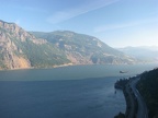 The Starvation Ridge Trail quickly climbs to this wonderful view of the Columbia River Gorge looking east.
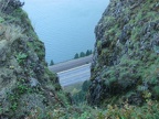 The Starvation Ridge Trail comes out to this promontory overlooking the Gorge.
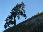 A lone tree survives at the edge of Starvation Ridge.
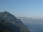 Looking west from a viewpoint on the Starvation Ridge Trail.
 This shows how steep the cliffs of Starvation Ridge are.
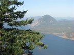 Round Mountain and the Columbia River from the Starvation Ridge Trail.
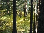
 The Starvation Ridge Trail climbs through a pleasant second-growth forest.
 The late morning sun lights up the fall foilage of the Vine Maples along sections of the Starvation Ridge Trail.
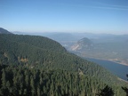 Round Mountain looks like an anthill viewed from the upper portion of the Starvation Ridge Trail.
 Mt. Adams towers above the landscape along the Starvation Ridge Trail.
 Mt. Adams disappears into the trees along the Starvation Ridge Trail.
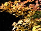 Vine Maple takes on fall colors near Warren Lake on Mitchell Point Trail.
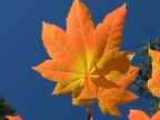 An azure sky provides a backdrop for Vine Maple leaves near Warren Lake on Mitchell Point Trail.
 An azure sky provides a backdrop for a single Vine Maple leaf near Warren Lake on Mitchell Point Trail.
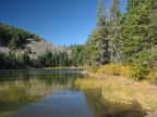 Warren Lake provides a welcome break and the only place to filter water on the way to Mt. Defiance.