- LanguageAfrikaans Argentina Azərbaycanca
Bahasa Indonesia Brasil Brezhoneg
Català Česky Dansk
Deutsch Dhivehi English
English English Español
Esperanto Estonian Euskara
Finnish Français Français
Gaeilge Galego Hrvatski
Íslenska Italiano Latviešu
Lëtzebuergesch Lietuviu Magyar
Malay México Nederlands
Norsk bokmål Norwegian nynorsk Polski
Português Română Slovenšcina
Slovensky Srpski Svenska
Tiếng Việt Türkçe Wolof
Ελληνικά Български Македонски
Монгол Русский Српски
Українська עברית العربية (مصر)
العربية العربية پارسی
कोंकणी বাংলাગુજરાતી
தமிழ் ಕನ್ನಡ ภาษาไทย
ქართული ខ្មែរ 中文 (繁體)
中文 (香港) 日本語 简体中文
한국어
Home / Kings Mtn Photos OR 15

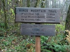 Mileage sign near the trailhead of King's Mountain Trail in the Tillamook State Forest, Oregon.
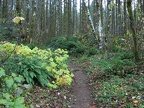 Typical view of the lower portion of King's Mountain Trail in the Tillamook State Forest, Oregon.
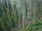 Alder trees along Dog Creek on King's Mountain Trail in the Tillamook State Forest, Oregon.
 Looking west at the first good view of distant mountain ridges from the King's Mountain Trail in the Tillamook State Forest, Oregon.
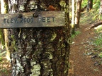 There are elevation signs every 1,000 feet to show how high you have climbed up towards the summit of 3,226 feet on the King's Mountain Trail in the Tillamook State Forest, Oregon.
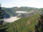
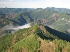
 There are clearings along the trail where there are views to the south and the west of the mountains and valleys of the Coast Range.
 A local name for the final section of the trail that climbs steeply up to the summit on the King's Mountain Trail in the Tillamook State Forest, Oregon.
 IMG 6325
 IMG 6328
 IMG 6333
 IMG 6334
 IMG 6336
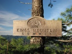 A nicely made sign at the summit King's Mountain in the Tillamook State Forest, Oregon. There is a nearby summit register to sign commemorating reaching the summit.
 IMG 6343
 IMG 6344