- LanguageAfrikaans Argentina Azərbaycanca
Bahasa Indonesia Brasil Brezhoneg
Català Česky Dansk
Deutsch Dhivehi English
English English Español
Esperanto Estonian Euskara
Finnish Français Français
Gaeilge Galego Hrvatski
Íslenska Italiano Latviešu
Lëtzebuergesch Lietuviu Magyar
Malay México Nederlands
Norsk bokmål Norwegian nynorsk Polski
Português Română Slovenšcina
Slovensky Srpski Svenska
Tiếng Việt Türkçe Wolof
Ελληνικά Български Македонски
Монгол Русский Српски
Українська עברית العربية (مصر)
العربية العربية پارسی
कोंकणी বাংলাગુજરાતી
தமிழ் ಕನ್ನಡ ภาษาไทย
ქართული ខ្មែរ 中文 (繁體)
中文 (香港) 日本語 简体中文
한국어
Home / Ramona Falls Photos OR 11

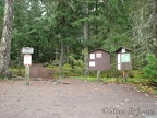 Trailhead for Ramona Falls in the Mt. Hood National Forest.
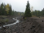 The streambed for the Sandy River widened out considerably after the flooding in 2009.
 Ramona Creek parallels the trail for about a mile and is a very pretty creek.
 Ramona Creek parallels the trail for about a mile and is a very pretty creek. This is at one of the places where the trail crosses over the creek.
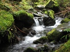 Another pleasant spot along Ramona Creek just before you reach Ramona Falls.
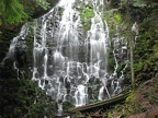 Ramona Falls cascades down a cliff of dark basalt right next to the trail.
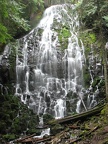 Ramona Falls cascades down a cliff of dark basalt right next to the trail.
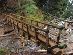 A log bridge spans Ramona Creek just downstream from Ramona Falls, providing a front-row view of the falls.
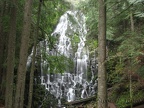 Ramona Falls cascades down a cliff of dark basalt right next to the trail. A flat clearing near the waterfall provides a nice view of the falls.
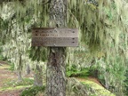 Above the Sandy River is a junction for Ramona Falls Loop and the Pacific Crest Trail. From the junction, the trail parallels the Sandy River down to the stream crossing.
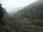 The Sandy River shows the devastation of flood from 2006 and 2011. A couple sections of the trail have been rerouted after being washed out.