- LanguageAfrikaans Argentina Azərbaycanca
Bahasa Indonesia Brasil Brezhoneg
Català Česky Dansk
Deutsch Dhivehi English
English English Español
Esperanto Estonian Euskara
Finnish Français Français
Gaeilge Galego Hrvatski
Íslenska Italiano Latviešu
Lëtzebuergesch Lietuviu Magyar
Malay México Nederlands
Norsk bokmål Norwegian nynorsk Polski
Português Română Slovenšcina
Slovensky Srpski Svenska
Tiếng Việt Türkçe Wolof
Ελληνικά Български Македонски
Монгол Русский Српски
Українська עברית العربية (مصر)
العربية العربية پارسی
कोंकणी বাংলাગુજરાતી
தமிழ் ಕನ್ನಡ ภาษาไทย
ქართული ខ្មែរ 中文 (繁體)
中文 (香港) 日本語 简体中文
한국어
Home / Trillium Lake Photos OR 13

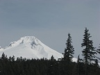 Mt. Hood as viewed from the parking lot for Trillum Lake Sno-Park
 Trailhead sign for Trillium Lake Sno-Park.
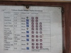 Trail listing for the trails at Trillium Lake.
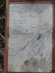 Map of the trail at Trillium Lake.
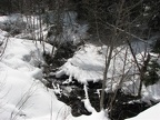 A small stream flows through a culvert under the trail at the bottom of the hill, about .5 mile from the parking lot on the Trillium Lake Trail.
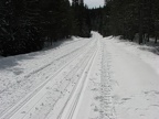 In winter the Forest Service road becomes a groomed trail through the forest around Trillium Lake. Remember not to walk or snowshoe on top of the cross-country ski tracks because it makes it harder for the skiers to use the trail.
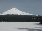 Mt. Hood from the south shore of Trillium Lake. The picnic area is on the right side of the lake.
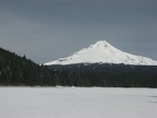 Mt. Hood from the south shore of Trillium Lake.
 Mt. Hood from the south shore of Trillium Lake. Even in late winter the lake is melting out along the shoreline.
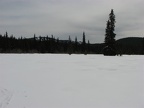 Summit Prairie Meadows was a place the early settlers fed their livestock on the Oregon Trail before negotiating Laurel Hill.
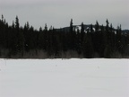 Looking east from Summit Prairie Meadows.
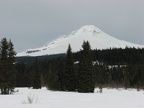 Mt. Hood as seen from Summit Prairie Meadows along the Trillium Lake Trail.
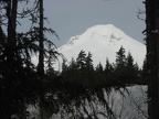 Mt. Hood as seen from the south end of the parking lot near the trailhead for the Trillium Lake Trail.