- LanguageAfrikaans Argentina Azərbaycanca
Bahasa Indonesia Brasil Brezhoneg
Català Česky Dansk
Deutsch Dhivehi English
English English Español
Esperanto Estonian Euskara
Finnish Français Français
Gaeilge Galego Hrvatski
Íslenska Italiano Latviešu
Lëtzebuergesch Lietuviu Magyar
Malay México Nederlands
Norsk bokmål Norwegian nynorsk Polski
Português Română Slovenšcina
Slovensky Srpski Svenska
Tiếng Việt Türkçe Wolof
Ελληνικά Български Македонски
Монгол Русский Српски
Українська עברית العربية (مصر)
العربية العربية پارسی
कोंकणी বাংলাગુજરાતી
தமிழ் ಕನ್ನಡ ภาษาไทย
ქართული ខ្មែរ 中文 (繁體)
中文 (香港) 日本語 简体中文
한국어
Home / Ruckel Ridge Photos OR 35

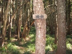
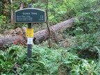 Trailhead sign just below the campground.
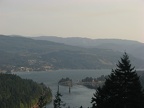 Looking east at the Bridge of the Gods in Cascade Locks, Oregon
 Bonneville Dam and Beacon Rock
 Looking up at the start of Ruckel Ridge.
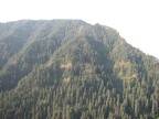 Looking west across Eagle Creek Valley.
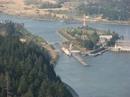 Looking west at a ship going through the Bonneville locks.
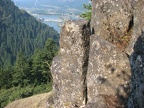 Basalt rocks at the base of Ruckel Ridge.
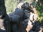 Columnar Basalt on Ruckel Ridge.
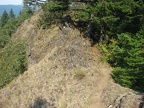 Ruckel Ridge Trail on one of the narrower portions of the ridge.
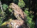 The top of this ridgeline is the Ruckel Ridge Trail.
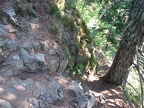 This shows where you descend off the ridge to route around and below the narrowest and most difficult spot of the Ruckel Ridge Trail.
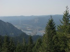 Columbia River and the Bonneville Dam in the distance.
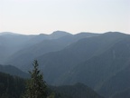 Looking southwest across Eagle Creek Valley.
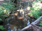 After finishing Ruckel Ridge the trail drops down and crosses Ruckel Creek.
 Trail junction at Benson Way showing a typical trail sign.