- LanguageAfrikaans Argentina Azərbaycanca
Bahasa Indonesia Brasil Brezhoneg
Català Česky Dansk
Deutsch Dhivehi English
English English Español
Esperanto Estonian Euskara
Finnish Français Français
Gaeilge Galego Hrvatski
Íslenska Italiano Latviešu
Lëtzebuergesch Lietuviu Magyar
Malay México Nederlands
Norsk bokmål Norwegian nynorsk Polski
Português Română Slovenšcina
Slovensky Srpski Svenska
Tiếng Việt Türkçe Wolof
Ελληνικά Български Македонски
Монгол Русский Српски
Українська עברית العربية (مصر)
العربية العربية پارسی
कोंकणी বাংলাગુજરાતી
தமிழ் ಕನ್ನಡ ภาษาไทย
ქართული ខ្មែរ 中文 (繁體)
中文 (香港) 日本語 简体中文
한국어
Home / Palmateer Trail Photos OR 12

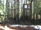 As you can see from the height of the sign at the trailhead, this trail is a popular winter trail too.
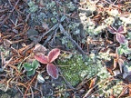 A frosty morning fortells the end of the berry season and the snow isn't far behind.
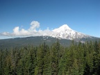 Mt. Hood rises above the forests and puts on a show for those select places with an unobstructed view. This promontory is a great spot to take in the view.
 The rocky rockfields around the top keep the trees from growing and provide a great viewpoint.
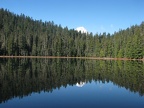 Only the summit of Mt. Hood can be seen from the southern end of Upper Twin Lake.
 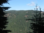 Between Upper Twin Lake and Palmateer Point cutoff there are just a few glimpses through the forest to the ridges beyond.
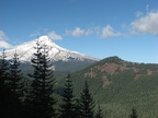 Mt. Hood pokes holes in the sky and makes puffy little clouds on a spectacular fall day on the Palmateer Point View Trail.
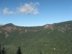 A viewpoint along the Palmateer Point View Trail provides nice views of mountain ridges to the east.
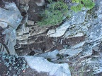 A viewpoint along the Palmateer Point View Trail is at a cliff. This is looking straight down.
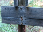 As with most Forest Service trails, the trails are well marked. This horse camp is near the cutoff for Palmateer Point.
 From Palmateer Point this unspoiled view of the Barlow Creek Valley looking east must have looked just like this to the pioneers as they finished the Oregon Trail.
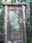 Near the trailhead parking lot is this old sign showing the trails around Barlow Pass.