- LanguageAfrikaans Argentina Azərbaycanca
Bahasa Indonesia Brasil Brezhoneg
Català Česky Dansk
Deutsch Dhivehi English
English English Español
Esperanto Estonian Euskara
Finnish Français Français
Gaeilge Galego Hrvatski
Íslenska Italiano Latviešu
Lëtzebuergesch Lietuviu Magyar
Malay México Nederlands
Norsk bokmål Norwegian nynorsk Polski
Português Română Slovenšcina
Slovensky Srpski Svenska
Tiếng Việt Türkçe Wolof
Ελληνικά Български Македонски
Монгол Русский Српски
Українська עברית العربية (مصر)
العربية العربية پارسی
कोंकणी বাংলাગુજરાતી
தமிழ் ಕನ್ನಡ ภาษาไทย
ქართული ខ្មែរ 中文 (繁體)
中文 (香港) 日本語 简体中文
한국어
Home / Sag Ponds Photos OR 9

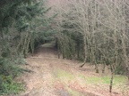 A typical view of the logging roads that are travelled for most of the Sag Ponds hike.
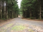 Looking down the logging road, you can see the typical age of the second-growth trees.
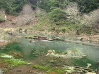 One of the Sag Ponds downhill a bit from the trail.
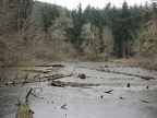 The second Sag Pond that I saw was right next to the trail.
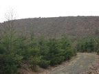 An older clear-cut next to the trail. The trail skirts this clear-cut.
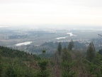 Views of the Willamette River and Portland in the distance. This is take from a viewpoint near the high point of the trail.
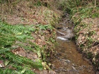 Crabapple Creek has several small tributaries that drain the basin the hike goes through.
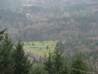 Wildwood Golf Course can bee seen to the east of this hike.
 Downtown Portland in the distance taken from a viewpoint under powerlines.