Eyehike Gallery

Welcome to the Eyehike photo gallery

Accueil /

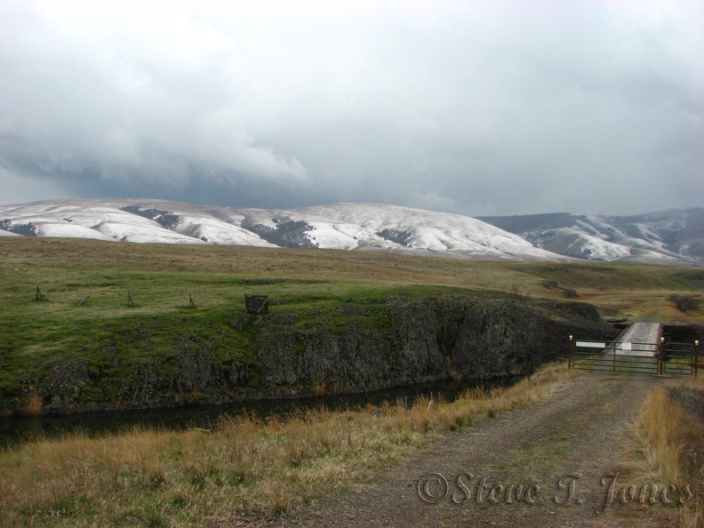
The Harms Road Trailhead is up on the prairies between Klickitat and Goldendale. The nearby hills catch the early fall snows and the windswept grasslands offer little shelter.

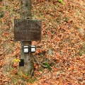
aaa.jpg Just a bit uphill from the trailhead is this sign for the Cherry Orchard Trail. It is easy to walk farther than the 2 miles indicated on the sign.MiniaturesJust a bit uphill from the trailhead is this sign for the Cherry Orchard Trail. It is easy to walk farther than the 2 miles indicated on the sign.MiniaturesJust a bit uphill from the trailhead is this sign for the Cherry Orchard Trail. It is easy to walk farther than the 2 miles indicated on the sign.MiniaturesJust a bit uphill from the trailhead is this sign for the Cherry Orchard Trail. It is easy to walk farther than the 2 miles indicated on the sign.MiniaturesJust a bit uphill from the trailhead is this sign for the Cherry Orchard Trail. It is easy to walk farther than the 2 miles indicated on the sign.MiniaturesJust a bit uphill from the trailhead is this sign for the Cherry Orchard Trail. It is easy to walk farther than the 2 miles indicated on the sign.MiniaturesJust a bit uphill from the trailhead is this sign for the Cherry Orchard Trail. It is easy to walk farther than the 2 miles indicated on the sign.Miniatures

aaa

Auteur
Steve Jones
Visites
1628
Bilan
pas de note
Votez pour cette image

Données EXIF

Make
Canon
Model
Canon PowerShot S3 IS
DateTimeOriginal
2012:11:10 18:22:07
ApertureFNumber
f/4.0